canton of Ruffec (canton de Ruffec)
- canton of France (until March 2015)
- Country:

- Capital: Ruffec
- Coordinates: 46° 1' 46" N, 0° 12' 0" E


- GPS tracks (wikiloc): [Link]
- Wikidata storage: Wikidata: Q1348549
- INSEE canton code: [1624]
Includes regions:


Les Adjots
- commune in Charente, France
- Country:

- Postal Code: 16700
- Coordinates: 46° 4' 37" N, 0° 12' 23" E


- GPS tracks (wikiloc): [Link]
- AboveSeaLevel: 130 м m
- Area: 10.94 sq km
- Population: 528

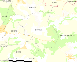
Bioussac
- commune in Charente, France
- Country:

- Postal Code: 16700
- Coordinates: 46° 1' 52" N, 0° 16' 29" E


- GPS tracks (wikiloc): [Link]
- Area: 15.64 sq km
- Population: 230


Saint-Sulpice-de-Ruffec
- commune in Charente, France
- Country:

- Postal Code: 16460
- Coordinates: 45° 56' 24" N, 0° 18' 52" E


- GPS tracks (wikiloc): [Link]
- Area: 2.38 sq km
- Population: 32


Saint-Gourson
- commune in Charente, France
- Country:

- Postal Code: 16700
- Coordinates: 45° 57' 4" N, 0° 19' 22" E


- GPS tracks (wikiloc): [Link]
- Area: 10.09 sq km
- Population: 139


Vieux-Ruffec
- commune in Charente, France
- Country:

- Postal Code: 16350
- Coordinates: 46° 0' 34" N, 0° 23' 17" E


- GPS tracks (wikiloc): [Link]
- Area: 12.75 sq km
- Population: 107


Poursac
- commune in Charente, France
- Country:

- Postal Code: 16700
- Coordinates: 45° 57' 38" N, 0° 15' 31" E


- GPS tracks (wikiloc): [Link]
- Area: 11.39 sq km
- Population: 193


Condac
- commune in Charente, France
- Country:

- Postal Code: 16700
- Coordinates: 46° 1' 27" N, 0° 13' 39" E


- GPS tracks (wikiloc): [Link]
- Area: 9.59 sq km
- Population: 470


Couture
- commune in Charente, France
- Country:

- Postal Code: 16460
- Coordinates: 45° 55' 46" N, 0° 17' 8" E


- GPS tracks (wikiloc): [Link]
- Area: 10.61 sq km
- Population: 157

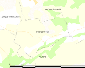
Saint-Georges
- commune in Charente, France
- Country:

- Postal Code: 16700
- Coordinates: 45° 58' 21" N, 0° 16' 14" E


- GPS tracks (wikiloc): [Link]
- Area: 2.25 sq km
- Population: 56


Nanteuil-en-Vallée
- commune in Charente, France
- Country:

- Postal Code: 16700
- Coordinates: 46° 0' 4" N, 0° 19' 25" E


- GPS tracks (wikiloc): [Link]
- Area: 68.85 sq km
- Population: 1341

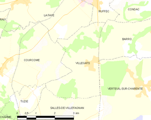
Villegats
- commune in Charente, France
- Country:

- Postal Code: 16700
- Coordinates: 45° 59' 29" N, 0° 11' 34" E


- GPS tracks (wikiloc): [Link]
- Area: 7.71 sq km
- Population: 219


Barro
- commune in Charente, France
- Country:

- Postal Code: 16700
- Coordinates: 46° 0' 2" N, 0° 13' 36" E


- GPS tracks (wikiloc): [Link]
- AboveSeaLevel: 85 м m
- Area: 10.65 sq km
- Population: 408
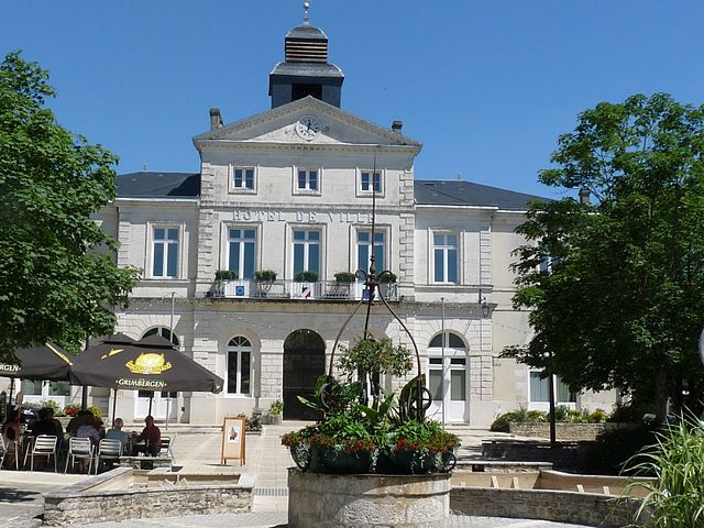
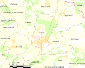
Ruffec
- commune in Charente, France
- Country:

- Postal Code: 16700
- Coordinates: 46° 1' 43" N, 0° 11' 57" E


- GPS tracks (wikiloc): [Link]
- Area: 13.37 sq km
- Population: 3477
- Web site: [Link]


Taizé-Aizie
- commune in Charente, France
- Country:

- Postal Code: 16700
- Coordinates: 46° 3' 47" N, 0° 14' 26" E


- GPS tracks (wikiloc): [Link]
- Area: 14.81 sq km
- Population: 590
- Web site: [Link]


Verteuil-sur-Charente
- commune in Charente, France
- Country:

- Postal Code: 16510
- Coordinates: 45° 58' 55" N, 0° 13' 47" E


- GPS tracks (wikiloc): [Link]
- Area: 14.24 sq km
- Population: 643
- Web site: [Link]