Saint-Utin (Saint-Utin)

- commune in Marne, France
- Country:

- Postal Code: 51290
- Coordinates: 48° 33' 2" N, 4° 30' 12" E


- GPS tracks (wikiloc): [Link]
- Area: 10.17 sq km
- Population: 87
- Wikipedia en: wiki(en)
- Wikipedia: wiki(fr)
- Wikidata storage: Wikidata: Q768758
- Wikipedia Commons Category: [Link]
- Freebase ID: [/m/03qd9qm]
- GeoNames ID: Alt: [6436006]
- SIREN number: [215104837]
- BnF ID: [15263115g]
- INSEE municipality code: 51520
Shares border with regions:


Saint-Léger-sous-Margerie
- commune in Aube, France
- Country:
- Postal Code: 10330
- Coordinates: 48° 31' 54" N, 4° 29' 17" E
- GPS tracks (wikiloc): [Link]
- Area: 6.58 sq km
- Population: 61

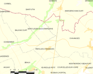
Pars-lès-Chavanges
- commune in Aube, France
- Country:
- Postal Code: 10330
- Coordinates: 48° 30' 26" N, 4° 29' 55" E
- GPS tracks (wikiloc): [Link]
- Area: 8.5 sq km
- Population: 66

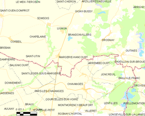
Margerie-Hancourt
- commune in Marne, France
- Country:
- Postal Code: 51290
- Coordinates: 48° 33' 16" N, 4° 31' 20" E
- GPS tracks (wikiloc): [Link]
- Area: 21.87 sq km
- Population: 199
Corbeil
- commune in Marne, France
- Country:
- Postal Code: 51320
- Coordinates: 48° 34' 40" N, 4° 25' 35" E
- GPS tracks (wikiloc): [Link]
- Area: 9.72 sq km
- Population: 93


Balignicourt
- commune in Aube, France
- Country:
- Postal Code: 10330
- Coordinates: 48° 30' 57" N, 4° 27' 39" E
- GPS tracks (wikiloc): [Link]
- Area: 13.06 sq km
- Population: 66