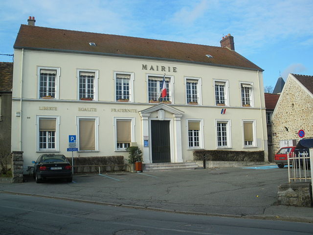
Saint-Yon (Saint-Yon)

- commune in Essonne, France
- Country:

- Postal Code: 91650
- Coordinates: 48° 33' 45" N, 2° 11' 7" E


- GPS tracks (wikiloc): [Link]
- Area: 4.66 sq km
- Population: 879
- Web site: http://www.mairiedesaint-yon.fr
- Wikipedia en: wiki(en)
- Wikipedia: wiki(fr)
- Wikidata storage: Wikidata: Q1165657
- Wikipedia Commons Category: [Link]
- Freebase ID: [/m/03mh6wt]
- Freebase ID: [/m/03mh6wt]
- GeoNames ID: Alt: [6454883]
- GeoNames ID: Alt: [6454883]
- SIREN number: [219105814]
- SIREN number: [219105814]
- BnF ID: [152802112]
- BnF ID: [152802112]
- INSEE municipality code: 91581
- INSEE municipality code: 91581
Shares border with regions:

Saint-Sulpice-de-Favières
- commune in Essonne, France
- Country:
- Postal Code: 91910
- Coordinates: 48° 32' 30" N, 2° 10' 48" E
- GPS tracks (wikiloc): [Link]
- Area: 4.37 sq km
- Population: 317
- Web site: [Link]

Égly
- commune in Essonne, France
- Country:
- Postal Code: 91520
- Coordinates: 48° 34' 50" N, 2° 13' 26" E
- GPS tracks (wikiloc): [Link]
- Area: 3.95 sq km
- Population: 5590
- Web site: [Link]
Breuillet
- commune in Essonne, France
- Country:
- Postal Code: 91650
- Coordinates: 48° 33' 58" N, 2° 10' 17" E
- GPS tracks (wikiloc): [Link]
- Area: 6.69 sq km
- Population: 8507
- Web site: [Link]

Breux-Jouy
- commune in Essonne, France
- Country:
- Postal Code: 91650
- Coordinates: 48° 33' 34" N, 2° 9' 18" E
- GPS tracks (wikiloc): [Link]
- Area: 4.68 sq km
- Population: 1248
- Web site: [Link]

Boissy-sous-Saint-Yon
- commune in Essonne, France
- Country:
- Postal Code: 91790
- Coordinates: 48° 33' 22" N, 2° 12' 34" E
- GPS tracks (wikiloc): [Link]
- Area: 8.04 sq km
- Population: 3784
- Web site: [Link]