Sainte-Colombe (Sainte-Colombe)

- former commune in Charente, France
- Country:

- Postal Code: 16230
- Coordinates: 45° 50' 0" N, 0° 19' 8" E


- GPS tracks (wikiloc): [Link]
- AboveSeaLevel: 78 м m
- Area: 6.5 sq km
- Population: 188
- Wikipedia en: wiki(en)
- Wikipedia: wiki(fr)
- Wikidata storage: Wikidata: Q918077
- Wikipedia Commons Category: [Link]
- Freebase ID: [/m/03mcd7h]
- GeoNames ID: Alt: [6615986]
- SIREN number: [211603097]
- BnF ID: [15248747j]
- INSEE municipality code: 16309
Shares border with regions:

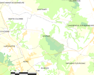
Les Pins
- commune in Charente, France
- Country:
- Postal Code: 16260
- Coordinates: 45° 49' 10" N, 0° 23' 25" E
- GPS tracks (wikiloc): [Link]
- Area: 21.06 sq km
- Population: 456

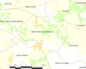
Saint-Amant-de-Bonnieure
- former commune in Charente, France
- Country:
- Postal Code: 16230
- Coordinates: 45° 51' 8" N, 0° 17' 37" E
- GPS tracks (wikiloc): [Link]
- Area: 10.67 sq km
- Population: 358


Saint-Mary
- commune in Charente, France
- Country:
- Postal Code: 16260
- Coordinates: 45° 49' 58" N, 0° 23' 20" E
- GPS tracks (wikiloc): [Link]
- Area: 21.86 sq km
- Population: 352


La Rochette
- commune in Charente, France
- Country:
- Postal Code: 16110
- Coordinates: 45° 48' 5" N, 0° 18' 50" E
- GPS tracks (wikiloc): [Link]
- Area: 10.99 sq km
- Population: 530
- Web site: [Link]


Saint-Angeau
- former commune in Charente, France
- Country:
- Postal Code: 16230
- Coordinates: 45° 50' 54" N, 0° 17' 12" E
- GPS tracks (wikiloc): [Link]
- Area: 10.94 sq km
- Population: 768