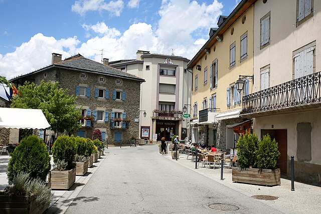
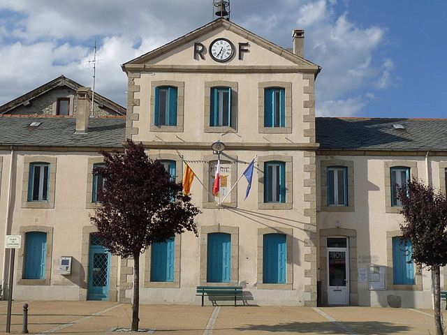
Sainte-Léocadie (Sainte-Léocadie)

- commune in Pyrénées-Orientales, France
- Country:

- Postal Code: 66800
- Coordinates: 42° 26' 12" N, 2° 0' 12" E


- GPS tracks (wikiloc): [Link]
- Area: 8.88 sq km
- Population: 137
- Web site: http://www.sainte-leocadie.fr
- Wikipedia en: wiki(en)
- Wikipedia: wiki(fr)
- Wikidata storage: Wikidata: Q1369688
- Wikipedia Commons Category: [Link]
- Freebase ID: [/m/03h3rr7]
- Freebase ID: [/m/03h3rr7]
- GeoNames ID: Alt: [6441027]
- GeoNames ID: Alt: [6441027]
- SIREN number: [216601815]
- SIREN number: [216601815]
- BnF ID: [15271090p]
- BnF ID: [15271090p]
- OSM relation ID: [1952519]
- OSM relation ID: [1952519]
- INSEE municipality code: 66181
- INSEE municipality code: 66181
Shares border with regions:


Err
- commune in Pyrénées-Orientales, France
- Country:
- Postal Code: 66800
- Coordinates: 42° 26' 24" N, 2° 2' 0" E
- GPS tracks (wikiloc): [Link]
- AboveSeaLevel: 1335 м m
- Area: 25.92 sq km
- Population: 656

Osséja
- commune in Pyrénées-Orientales, France
- Country:
- Postal Code: 66340
- Coordinates: 42° 24' 58" N, 1° 58' 51" E
- GPS tracks (wikiloc): [Link]
- Area: 17.13 sq km
- Population: 1328
- Web site: [Link]

Bourg-Madame
- commune in Pyrénées-Orientales, France
- Country:
- Postal Code: 66760
- Coordinates: 42° 26' 3" N, 1° 56' 38" E
- GPS tracks (wikiloc): [Link]
- Area: 7.85 sq km
- Population: 1214
- Web site: [Link]


Saillagouse
- commune in Pyrénées-Orientales, France
- Country:
- Postal Code: 66800
- Coordinates: 42° 27' 36" N, 2° 2' 23" E
- GPS tracks (wikiloc): [Link]
- AboveSeaLevel: 2160 м m
- Area: 11.35 sq km
- Population: 1101
- Web site: [Link]


Nahuja
- commune in Pyrénées-Orientales, France
- Country:
- Postal Code: 66340
- Coordinates: 42° 25' 30" N, 1° 59' 43" E
- GPS tracks (wikiloc): [Link]
- Area: 5.6 sq km
- Population: 76