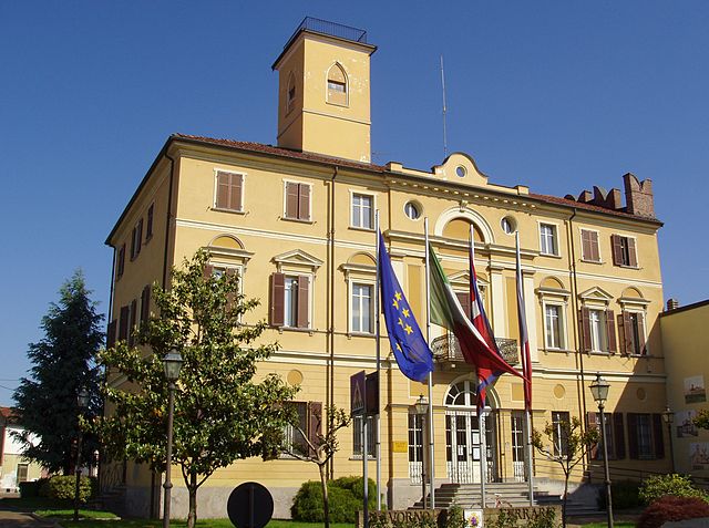
Saluggia (Saluggia)
- Italian comune
 Hiking in Saluggia
Saluggia is a small town located in the Piedmont region of northern Italy, near the banks of the Po River. While it may not be as widely recognized as a hiking destination compared to other parts of Italy, it does offer access to beautiful landscapes and trails, particularly in the surrounding areas.
Hiking Opportunities in and around Saluggia:
-
Nature Trails: The region around Saluggia features various nature trails, particularly along the Po River and within nearby nature reserves. These trails may range from easy walks suitable for families to more challenging routes for experienced hikers.
-
Parco Naturale del Lago di Candia: A short drive from Saluggia, this park offers scenic walks and trails around the serene Lake Candia, rich with wildlife and beautiful views of the surrounding area. There are various loop trails, suitable for all levels.
-
Hills and Vineyards: The neighboring hills are dotted with vineyards and agricultural land. Hiking through these areas can provide a unique opportunity to enjoy the local culture, food, and wine, all while taking in the picturesque scenery of rolling hills.
-
Connecting Trails: Saluggia is located relatively close to trails that connect to larger hiking networks in the region, such as the Monti del Canavese and the surrounding foothills of the Alps. These areas feature a variety of trails, from easy walks to more strenuous hikes with stunning mountain views.
Tips for Hiking in Saluggia:
- Map and Research: Always carry a detailed map or use a reliable hiking app to navigate the trails.
- Local Weather: The weather can change rapidly, so check the forecast and dress in layers. Bring rain gear if necessary.
- Hydration and Nutrition: Carry sufficient water and snacks, especially if you plan to take longer hikes.
- Respect Nature: Follow Leave No Trace principles, such as staying on trails, packing out trash, and respecting wildlife.
Cultural Considerations:
While hiking, take some time to explore Saluggia itself, including local cuisine and historical sites. The area is known for its agricultural products, and you might find local eateries offering delicious regional dishes.
In conclusion, while Saluggia may not be a famous hiking destination, it offers a charming experience for hikers looking for beautiful countryside, nature trails, and a taste of the local culture. Whether you're a novice or an experienced hiker, you'll find opportunities to enjoy the great outdoors in this lovely part of Italy.
- Country:

- Postal Code: 13040
- Local Dialing Code: 0161
- Licence Plate Code: VC
- Coordinates: 45° 14' 0" N, 8° 1' 0" E


- GPS tracks (wikiloc): [Link]
- AboveSeaLevel: 194 м m
- Area: 31.6 sq km
- Population: 4030
- Web site: http://www.comune.saluggia.vc.it/home/index.php
- Wikipedia en: wiki(en)
- Wikipedia: wiki(it)
- Wikidata storage: Wikidata: Q25203
- Wikipedia Commons Category: [Link]
- Freebase ID: [/m/0g8r8x]
- GeoNames ID: Alt: [6538116]
- VIAF ID: Alt: [248314468]
- OSM relation ID: [44468]
- WOEID: [722280]
- UN/LOCODE: [ITSIX]
- ISTAT ID: 002128
- Italian cadastre code: H725
Shares border with regions:
Rondissone
- Italian comune
Hiking in Rondissone
Rondissone is a small town located in the Piedmont region of Italy, near Turin. While it may not be as well-known for hiking as some larger mountain regions in Italy, there are opportunities for outdoor activities in the surrounding countryside....
- Country:
- Postal Code: 10030
- Local Dialing Code: 011
- Licence Plate Code: TO
- Coordinates: 45° 15' 0" N, 7° 58' 0" E
- GPS tracks (wikiloc): [Link]
- AboveSeaLevel: 211 м m
- Area: 10.69 sq km
- Population: 1881
- Web site: [Link]


Torrazza Piemonte
- Italian comune
Hiking in Torrazza Piemonte
Torrazza Piemonte is a small town located in the province of Turin in the Piedmont region of Italy. While it may not be as widely known for hiking as some of the larger national parks or mountainous areas in Italy, there are still opportunities for outdoor enthusiasts to explore the picturesque landscapes of the surrounding area....
- Country:
- Postal Code: 10037
- Local Dialing Code: 011
- Licence Plate Code: TO
- Coordinates: 45° 13' 0" N, 7° 58' 0" E
- GPS tracks (wikiloc): [Link]
- AboveSeaLevel: 197 м m
- Area: 9.82 sq km
- Population: 2906
- Web site: [Link]


Verolengo
- Italian comune
Hiking in Verolengo
Verolengo is a delightful destination for hiking enthusiasts, located in the Piedmont region of northern Italy. Nestled along the banks of the River Po, this charming town offers scenic landscapes, historical sites, and a taste of rural Italian culture....
- Country:
- Postal Code: 10038
- Local Dialing Code: 011
- Licence Plate Code: TO
- Coordinates: 45° 11' 0" N, 7° 58' 0" E
- GPS tracks (wikiloc): [Link]
- AboveSeaLevel: 169 м m
- Area: 29.49 sq km
- Population: 4854
- Web site: [Link]

Cigliano
- Italian comune
Hiking in Cigliano
Cigliano is a charming municipality located within the province of Vercelli in the Piedmont region of Italy. While it may not be a widely recognized hiking destination, it offers opportunities for outdoor enthusiasts to enjoy nature and explore the surrounding areas. Here are some highlights and tips for hiking in and around Cigliano:...
- Country:
- Postal Code: 13043
- Local Dialing Code: 0161
- Licence Plate Code: VC
- Coordinates: 45° 18' 29" N, 8° 1' 23" E
- GPS tracks (wikiloc): [Link]
- AboveSeaLevel: 180 м m
- Area: 25.31 sq km
- Population: 4493
- Web site: [Link]

Crescentino
- Italian comune
Hiking in Crescentino
Crescentino, located in the Piedmont region of Italy, is not primarily known as a hiking destination, but that does not mean there aren't opportunities for outdoor activities in the surrounding areas. Here are some key points to consider for hiking in and around Crescentino:...
- Country:
- Postal Code: 13044
- Local Dialing Code: 0161
- Licence Plate Code: VC
- Coordinates: 45° 11' 0" N, 8° 6' 0" E
- GPS tracks (wikiloc): [Link]
- AboveSeaLevel: 154 м m
- Area: 48.22 sq km
- Population: 7814
- Web site: [Link]

Lamporo
- Italian comune
Hiking in Lamporo
Lamporo is not a widely recognized hiking destination, and specific information about it may vary depending on the exact location you are referring to. If you are talking about a specific region, country, or national park named Lamporo, additional details would be helpful for a more comprehensive guide....
- Country:
- Postal Code: 13046
- Local Dialing Code: 0161
- Licence Plate Code: VC
- Coordinates: 45° 14' 0" N, 8° 6' 0" E
- GPS tracks (wikiloc): [Link]
- AboveSeaLevel: 165 м m
- Area: 9.64 sq km
- Population: 526
- Web site: [Link]
Livorno Ferraris
- Italian comune
Hiking in Livorno Ferraris
Livorno Ferraris is a small town in the Piedmont region of Italy, situated in the province of Vercelli. While it's not as widely known for hiking as some of the larger national parks or mountainous areas in Italy, there are still opportunities for outdoor activities and hiking in the surrounding countryside....
- Country:
- Postal Code: 13046
- Local Dialing Code: 0161
- Licence Plate Code: VC
- Coordinates: 45° 17' 0" N, 8° 5' 0" E
- GPS tracks (wikiloc): [Link]
- AboveSeaLevel: 188 м m
- Area: 58.03 sq km
- Population: 4345
- Web site: [Link]