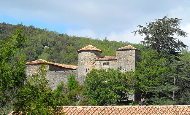
Salza (Salza)

- commune in Aude, France
- Country:

- Postal Code: 11330
- Coordinates: 42° 59' 1" N, 2° 29' 47" E


- GPS tracks (wikiloc): [Link]
- Area: 8.34 sq km
- Population: 18
- Wikipedia en: wiki(en)
- Wikipedia: wiki(fr)
- Wikidata storage: Wikidata: Q1084443
- Wikipedia Commons Category: [Link]
- Freebase ID: [/m/03m90cq]
- GeoNames ID: Alt: [6426870]
- SIREN number: [211103742]
- BnF ID: [152469108]
- INSEE municipality code: 11374
Shares border with regions:


Vignevieille
- commune in Aude, France
- Country:
- Postal Code: 11330
- Coordinates: 43° 0' 20" N, 2° 31' 28" E
- GPS tracks (wikiloc): [Link]
- Area: 16.72 sq km
- Population: 101


Montjoi
- commune in Aude, France
- Country:
- Postal Code: 11330
- Coordinates: 42° 59' 34" N, 2° 28' 56" E
- GPS tracks (wikiloc): [Link]
- Area: 7.18 sq km
- Population: 40
- Web site: [Link]

Lanet
- commune in Aude, France
- Country:
- Postal Code: 11330
- Coordinates: 42° 57' 47" N, 2° 29' 43" E
- GPS tracks (wikiloc): [Link]
- Area: 8.75 sq km
- Population: 49

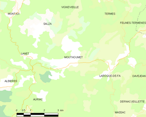
Mouthoumet
- commune in Aude, France
- Country:
- Postal Code: 11330
- Coordinates: 42° 57' 36" N, 2° 31' 37" E
- GPS tracks (wikiloc): [Link]
- Area: 13.73 sq km
- Population: 113
- Web site: [Link]