Sambuca Pistoiese (Sambuca Pistoiese)
.svg)
- Italian comune
 Hiking in Sambuca Pistoiese
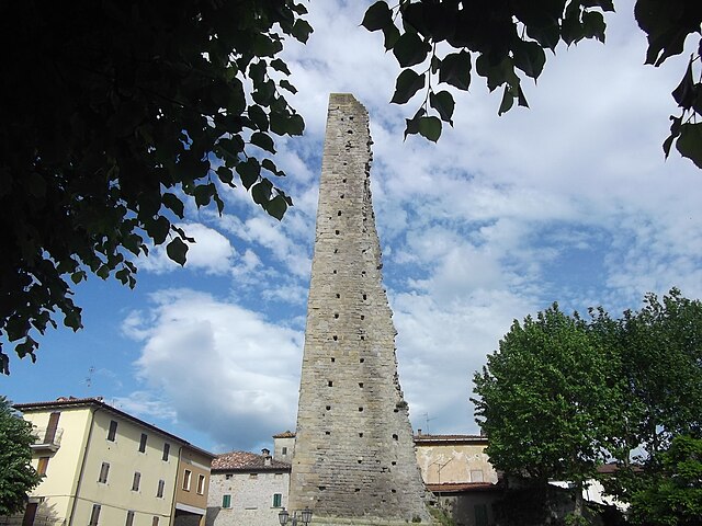
Sambuca Pistoiese is a charming village located in the Tuscany region of Italy, nestled in the northern Apennines. It boasts stunning natural landscapes, rich biodiversity, and opportunities for hiking enthusiasts to explore its rugged terrain.
Hiking Highlights in Sambuca Pistoiese:
-
Scenic Trails: The area features numerous trails that cater to different skill levels, from easy walks to more challenging hikes. The trails often pass through dense forests, pastures, and alongside rivers, providing hikers with picturesque views.
-
Natural Parks: Sambuca Pistoiese is near the Montagna Pistoiese Natural Park, which has various hiking paths. This park is known for its rich flora and fauna, including the beautiful chestnut woods and unique wildlife.
-
Cultural and Historical Sites: Many hiking trails connect to historical sites. The village itself is rich in history, with ancient churches, stone houses, and ruins that tell the story of the region’s past. Take time to explore the local culture along the way.
-
Wildlife Watching: Hiking in this region can also be a great opportunity for wildlife observation. Keep an eye out for birds, deer, and other local species that inhabit the area.
-
Local Gastronomy: After a day of hiking, indulge in the local cuisine. The area is known for its traditional Tuscan dishes, and many local restaurants offer hearty meals that are perfect for replenishing energy.
Tips for Hiking in Sambuca Pistoiese:
- Proper Footwear: Good hiking shoes are essential for navigating the various terrains.
- Stay Hydrated: Always carry enough water, especially on longer hikes.
- Check Weather Conditions: Weather can change rapidly in the mountains, so be prepared with appropriate clothing.
- Map and GPS: Although trails are marked, having a map or GPS device can help ensure you stay on course.
- Respect Nature: Follow Leave No Trace principles, minimizing your impact on the environment.
Suggested Hiking Routes:
- Trail to the Devil's Bridge: A moderately challenging hike that offers stunning views and historical significance.
- Circuit of the Pizzo di Montecatini: A longer hike that takes you through diverse landscapes and offers panoramic views at the summit.
Overall, Sambuca Pistoiese is a fantastic destination for hiking enthusiasts looking to experience the beauty and culture of Tuscany. Whether you are an experienced hiker or a beginner, you'll find trails that suit your abilities while enjoying the breathtaking scenery and rich history of the area.
- Country:

- Postal Code: 51020
- Local Dialing Code: 0573
- Licence Plate Code: PT
- Coordinates: 44° 6' 20" N, 10° 59' 43" E


- GPS tracks (wikiloc): [Link]
- AboveSeaLevel: 504 м m
- Area: 77.25 sq km
- Population: 1605
- Web site: http://www.comune.sambuca.pt.it
- Wikipedia en: wiki(en)
- Wikipedia: wiki(it)
- Wikidata storage: Wikidata: Q102725
- Wikipedia Commons Category: [Link]
- Freebase ID: [/m/0bxg_8]
- GeoNames ID: Alt: [3168593]
- VIAF ID: Alt: [235176449]
- OSM relation ID: [42829]
- TGN ID: [1046451]
- ISTAT ID: 047018
- Italian cadastre code: H744
Shares border with regions:


Pistoia
- Italian comune
Hiking in Pistoia
Pistoia, located in the Tuscany region of Italy, offers a variety of hiking opportunities that showcase its stunning landscapes, historical sites, and rich biodiversity. The area is characterized by rolling hills, olive groves, vineyards, and picturesque medieval towns. Here are some highlights for hiking in and around Pistoia:...
- Country:
- Postal Code: 51100
- Local Dialing Code: 0573
- Licence Plate Code: PT
- Coordinates: 43° 56' 0" N, 10° 55' 0" E
- GPS tracks (wikiloc): [Link]
- AboveSeaLevel: 65 м m
- Area: 236.17 sq km
- Population: 90363
- Web site: [Link]


Cantagallo
- Italian comune
Hiking in Cantagallo
Cantagallo, located in the province of Prato in Tuscany, offers a beautiful backdrop for hiking enthusiasts. The area is characterized by its rolling hills, lush forests, and a mix of rural landscapes, making it suitable for various hiking experiences. Here are some highlights for hiking in Cantagallo:...
- Country:
- Postal Code: 59025
- Local Dialing Code: 0574
- Licence Plate Code: PO
- Coordinates: 44° 1' 0" N, 11° 5' 0" E
- GPS tracks (wikiloc): [Link]
- AboveSeaLevel: 423 м m
- Area: 95.67 sq km
- Population: 3140
- Web site: [Link]
Camugnano
- Italian comune
Hiking in Camugnano
Camugnano, located in the Apennine Mountains of Italy, is a fantastic destination for hiking enthusiasts. Situated in the province of Bologna, it offers beautiful landscapes, diverse flora and fauna, and a variety of trails suitable for different skill levels....
- Country:
- Postal Code: 40032
- Local Dialing Code: 0534
- Licence Plate Code: BO
- Coordinates: 44° 10' 0" N, 11° 6' 0" E
- GPS tracks (wikiloc): [Link]
- AboveSeaLevel: 692 м m
- Area: 96 sq km
- Population: 2132
- Web site: [Link]

Castel di Casio
- Italian comune
Hiking in Castel di Casio
Castel di Casio is a picturesque municipality located in the Emilia-Romagna region of Italy, nestled in the Apennine Mountains. It's known for its stunning landscapes, rich history, and outdoor recreational opportunities, making it an excellent destination for hiking enthusiasts....
- Country:
- Postal Code: 40030
- Local Dialing Code: 0534
- Licence Plate Code: BO
- Coordinates: 44° 10' 0" N, 11° 2' 0" E
- GPS tracks (wikiloc): [Link]
- AboveSeaLevel: 533 м m
- Area: 47.33 sq km
- Population: 3418
- Web site: [Link]


Granaglione
- Italian comune
Hiking in Granaglione
Granaglione is a charming town located in the Apennine Mountains of Italy, specifically in the province of Bologna, Emilia-Romagna. The area surrounding Granaglione offers beautiful landscapes, rich flora and fauna, and numerous opportunities for hiking enthusiasts of all levels....
- Country:
- Postal Code: 40030; 40030–40045
- Local Dialing Code: 0534
- Licence Plate Code: BO
- Coordinates: 44° 7' 0" N, 10° 58' 0" E
- GPS tracks (wikiloc): [Link]
- AboveSeaLevel: 493 м m
- Area: 39 sq km
- Population: 2089
- Web site: [Link]