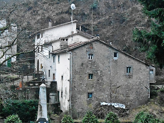
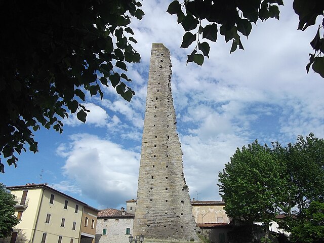
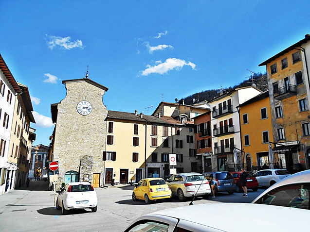
Camugnano (Camugnano)
.svg)
- Italian comune
 Hiking in Camugnano
Camugnano, located in the Apennine Mountains of Italy, is a fantastic destination for hiking enthusiasts. Situated in the province of Bologna, it offers beautiful landscapes, diverse flora and fauna, and a variety of trails suitable for different skill levels.
Hiking Trails
-
Monte Sole Trail: This trail takes you through picturesque forests with stunning views of the surrounding mountains. It is well-marked and varies in difficulty, making it accessible for both beginners and more experienced hikers.
-
Sentiero dei Briganti: This is a historical trail that allows hikers to explore the area’s rich history while enjoying nature. It offers a moderate hike through woodland areas and past ancient ruins.
-
Val di Setta: This valley has several trails that meander along rivers and through lush greenery. It's an excellent spot for those who enjoy a more tranquil hiking experience.
Best Time to Hike
The best time to hike in Camugnano is during the spring (April to June) and early autumn (September to October) when the weather is mild, and the landscapes are vibrant. Summers can be warmer, while winters may bring snow, presenting a different set of challenges for hikers.
Preparing for Your Hike
- Gear: Wear sturdy hiking boots, bring a backpack with water, snacks, and a first-aid kit. Don't forget sun protection and a good map or GPS device.
- Navigation: Most trails are marked, but having a map or trail app is advisable, particularly for longer hikes.
- Leave No Trace: Be respectful of the natural environment. Carry out all trash and avoid disturbing wildlife.
Additional Activities
In addition to hiking, Camugnano is well-known for its rich culinary traditions. You can also explore local products like cheese, wine, and honey after your hikes. The nearby towns offer cultural insights with historical architecture and local festivals.
Conclusion
Camugnano is an excellent hiking destination that combines natural beauty, adventure, and cultural experiences. Whether you’re a seasoned hiker or just starting out, there are plenty of options to explore the stunning Apennine terrain. Always remember to prioritize safety and respect the environment during your adventures!
- Country:

- Postal Code: 40032
- Local Dialing Code: 0534
- Licence Plate Code: BO
- Coordinates: 44° 10' 0" N, 11° 6' 0" E


- GPS tracks (wikiloc): [Link]
- AboveSeaLevel: 692 м m
- Area: 96 sq km
- Population: 2132
- Web site: http://www.comune.camugnano.bo.it/
- Wikipedia en: wiki(en)
- Wikipedia: wiki(it)
- Wikidata storage: Wikidata: Q94631
- Wikipedia Commons Gallery: [Link]
- Wikipedia Commons Category: [Link]
- Freebase ID: [/m/0gkh2h]
- GeoNames ID: Alt: [6536738]
- VIAF ID: Alt: [138461066]
- OSM relation ID: [42855]
- TGN ID: [7044921]
- ISTAT ID: 037010
- Italian cadastre code: B572
Shares border with regions:

Sambuca Pistoiese
- Italian comune
Hiking in Sambuca Pistoiese
Sambuca Pistoiese is a charming village located in the Tuscany region of Italy, nestled in the northern Apennines. It boasts stunning natural landscapes, rich biodiversity, and opportunities for hiking enthusiasts to explore its rugged terrain....
- Country:
- Postal Code: 51020
- Local Dialing Code: 0573
- Licence Plate Code: PT
- Coordinates: 44° 6' 20" N, 10° 59' 43" E
- GPS tracks (wikiloc): [Link]
- AboveSeaLevel: 504 м m
- Area: 77.25 sq km
- Population: 1605
- Web site: [Link]


Cantagallo
- Italian comune
Hiking in Cantagallo
Cantagallo, located in the province of Prato in Tuscany, offers a beautiful backdrop for hiking enthusiasts. The area is characterized by its rolling hills, lush forests, and a mix of rural landscapes, making it suitable for various hiking experiences. Here are some highlights for hiking in Cantagallo:...
- Country:
- Postal Code: 59025
- Local Dialing Code: 0574
- Licence Plate Code: PO
- Coordinates: 44° 1' 0" N, 11° 5' 0" E
- GPS tracks (wikiloc): [Link]
- AboveSeaLevel: 423 м m
- Area: 95.67 sq km
- Population: 3140
- Web site: [Link]


Vernio
- Italian comune
Hiking in Vernio
Vernio, located in Tuscany, Italy, is a charming destination for hiking enthusiasts. Nestled in the scenic Apennine Mountains, it offers a variety of trails that showcase the region's natural beauty, including lush forests, rolling hills, and picturesque views....
- Country:
- Postal Code: 59026; 59024
- Local Dialing Code: 0574
- Licence Plate Code: PO
- Coordinates: 44° 3' 0" N, 11° 9' 0" E
- GPS tracks (wikiloc): [Link]
- AboveSeaLevel: 278 м m
- Area: 63.38 sq km
- Population: 6048
- Web site: [Link]

Castel di Casio
- Italian comune
Hiking in Castel di Casio
Castel di Casio is a picturesque municipality located in the Emilia-Romagna region of Italy, nestled in the Apennine Mountains. It's known for its stunning landscapes, rich history, and outdoor recreational opportunities, making it an excellent destination for hiking enthusiasts....
- Country:
- Postal Code: 40030
- Local Dialing Code: 0534
- Licence Plate Code: BO
- Coordinates: 44° 10' 0" N, 11° 2' 0" E
- GPS tracks (wikiloc): [Link]
- AboveSeaLevel: 533 м m
- Area: 47.33 sq km
- Population: 3418
- Web site: [Link]

Castiglione dei Pepoli
- Italian comune
Hiking in Castiglione dei Pepoli
Castiglione dei Pepoli is a charming village located in the Emilia-Romagna region of Italy, surrounded by the stunning landscapes of the Apennine Mountains. Known for its picturesque scenery, it offers numerous opportunities for hiking enthusiasts to explore the natural beauty of the area....
- Country:
- Postal Code: 40035
- Local Dialing Code: 0534
- Licence Plate Code: BO
- Coordinates: 44° 9' 0" N, 11° 9' 0" E
- GPS tracks (wikiloc): [Link]
- AboveSeaLevel: 691 м m
- Area: 65.76 sq km
- Population: 5514
- Web site: [Link]


Grizzana Morandi
- Italian comune
Hiking in Grizzana Morandi
Grizzana Morandi, located in the Apennine Mountains of northern Italy, offers a wonderful hiking experience surrounded by stunning landscapes, rich flora and fauna, and historical sites. Here are some highlights to consider when hiking in this beautiful area:...
- Country:
- Postal Code: 40030
- Local Dialing Code: 051
- Licence Plate Code: BO
- Coordinates: 44° 15' 0" N, 11° 9' 0" E
- GPS tracks (wikiloc): [Link]
- AboveSeaLevel: 547 м m
- Area: 77 sq km
- Population: 3694
- Web site: [Link]