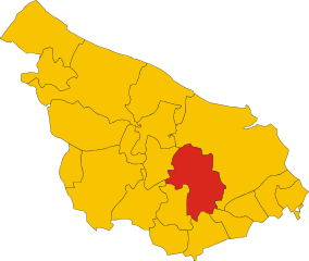
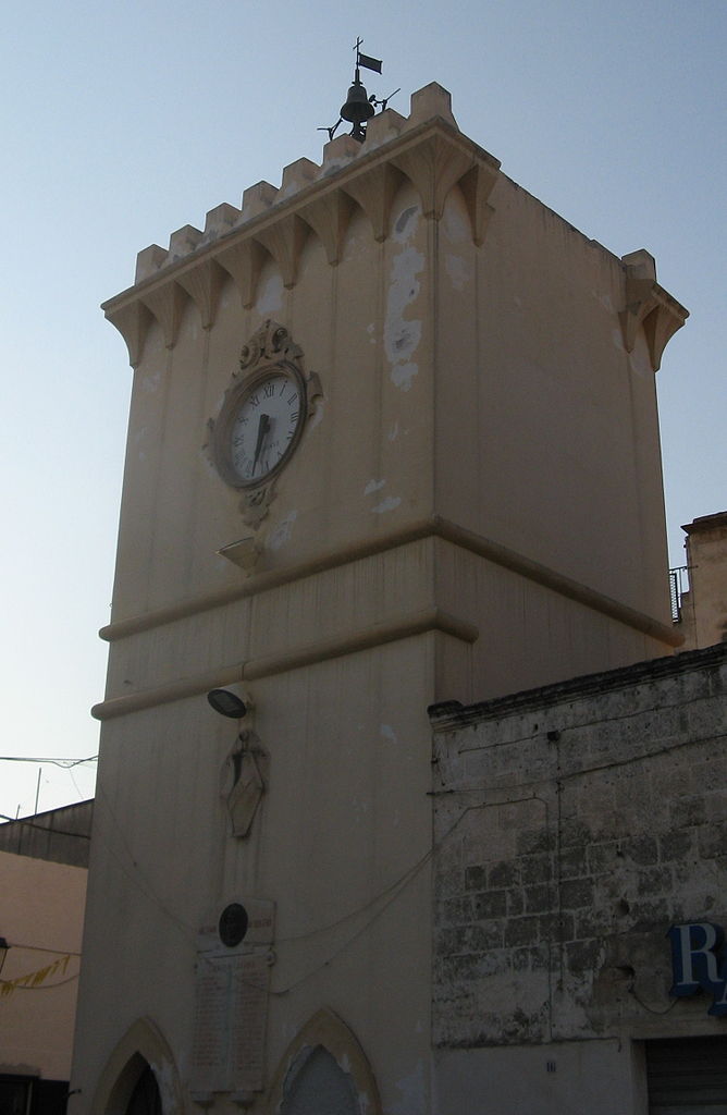
San Pancrazio Salentino (San Pancrazio Salentino)
.svg)
- Italian comune
 Hiking in San Pancrazio Salentino
San Pancrazio Salentino, located in the Puglia region of Italy, offers a unique landscape for hiking enthusiasts. The area is characterized by its charming countryside, olive groves, and a mix of rolling hills and flatlands. While it may not be as well-known for hiking as some other Italian regions, there are several trails and routes you can explore.
Hiking Highlights in San Pancrazio Salentino:
-
Countryside Trails: The area around San Pancrazio Salentino is dotted with rural paths that pass through beautiful olive groves and vineyards. These trails provide a peaceful experience with stunning views of the landscape.
-
Historical Sites: As you hike, you can discover various historical sites and architecture, including ancient farms and masserie (traditional farmhouses). These sites reflect the agricultural history and culture of the region.
-
Nature Reserves: Nearby nature reserves and parks, such as the Parco Naturale Regionale Salina di Taranto, can be accessed for more diverse hiking experiences. Here, you might encounter local wildlife and unique flora.
-
Moderate Terrain: The hiking trails in this area tend to offer moderate terrain, making them suitable for varying fitness levels. Most paths are well-marked and easy to navigate, making it accessible for both casual walkers and more experienced hikers.
-
Local Cuisine: After a day of hiking, enjoy the local cuisine, which features fresh ingredients and dishes typical of the Puglia region, such as orecchiette pasta and local olive oil.
Tips for Hiking in San Pancrazio Salentino:
-
Seasonal Considerations: The best time to hike in this region is in spring (April to June) and fall (September to October), when temperatures are milder and the landscape is vibrant.
-
Hydration and Snacks: Always carry enough water and snacks, especially if you're planning a longer hike. While the area is serene, amenities may not always be readily available on the trails.
-
Local Guide: Consider hiring a local guide for a more enriching experience, especially if you want to learn about the flora, fauna, and the history of the area.
-
Footwear: Wear sturdy hiking shoes to provide comfort and support on uneven terrain.
Hiking in San Pancrazio Salentino can be a delightful way to experience the natural beauty and rich history of this part of Italy. Enjoy your adventure!
- Country:

- Postal Code: 72026
- Local Dialing Code: 0831
- Licence Plate Code: BR
- Coordinates: 40° 25' 0" N, 17° 50' 0" E


- GPS tracks (wikiloc): [Link]
- AboveSeaLevel: 62 м m
- Area: 56.68 sq km
- Population: 9882
- Web site: http://www.sps.br.it
- Wikipedia en: wiki(en)
- Wikipedia: wiki(it)
- Wikidata storage: Wikidata: Q51875
- Wikipedia Commons Category: [Link]
- Freebase ID: [/m/0f5l66]
- GeoNames ID: Alt: [6537577]
- OSM relation ID: [40486]
- MusicBrainz area ID: [3e633a19-d044-4437-921a-b7360b8506bb]
- UN/LOCODE: [ITSP3]
- Gran Enciclopèdia Catalana ID: [0267329]
- Digital Atlas of the Roman Empire ID: [30401]
- ISTAT ID: 074015
- Italian cadastre code: I066
Shares border with regions:


Erchie
- Italian comune
Hiking in Erchie
Erchie is a picturesque village located on the Amalfi Coast in Italy, nestled between the mountains and the sea. It offers stunning views, charming landscapes, and opportunities for hiking enthusiasts....
- Country:
- Postal Code: 72020
- Local Dialing Code: 0831
- Licence Plate Code: BR
- Coordinates: 40° 26' 10" N, 17° 44' 10" E
- GPS tracks (wikiloc): [Link]
- AboveSeaLevel: 68 м m
- Area: 44.63 sq km
- Population: 8671
- Web site: [Link]

Mesagne
- Italian comune
Hiking in Mesagne
Mesagne, located in the Apulia region of Italy, is not typically known as a primary hiking destination like some of the larger national parks or mountainous areas, but it offers a unique opportunity for those interested in exploring the picturesque landscapes of the Salento region....
- Country:
- Postal Code: 72023
- Local Dialing Code: 0831
- Licence Plate Code: BR
- Coordinates: 40° 34' 0" N, 17° 48' 0" E
- GPS tracks (wikiloc): [Link]
- AboveSeaLevel: 72 м m
- Area: 124.05 sq km
- Population: 26836
- Web site: [Link]


San Donaci
- Italian comune
Hiking in San Donaci
San Donaci is a charming town located in the Apulia region of Italy, known for its rich history and beautiful landscapes. While it may not be as famous for hiking as some other regions in Italy, there are opportunities for outdoor activities and exploration in the surrounding areas....
- Country:
- Postal Code: 72025
- Local Dialing Code: 0831
- Licence Plate Code: BR
- Coordinates: 40° 27' 0" N, 17° 55' 0" E
- GPS tracks (wikiloc): [Link]
- AboveSeaLevel: 42 м m
- Area: 34.04 sq km
- Population: 6569
- Web site: [Link]


Torre Santa Susanna
- Italian comune
Hiking in Torre Santa Susanna
Torre Santa Susanna is a charming town located in the Apulia region of southern Italy, known for its rich history and beautiful landscapes. While it may not be a globally recognized hiking destination, there are opportunities for outdoor enthusiasts to explore the surrounding countryside and enjoy the natural beauty of the area. Here are some highlights and considerations for hiking in and around Torre Santa Susanna:...
- Country:
- Postal Code: 72028
- Local Dialing Code: 0831
- Licence Plate Code: BR
- Coordinates: 40° 28' 0" N, 17° 44' 0" E
- GPS tracks (wikiloc): [Link]
- AboveSeaLevel: 72 м m
- Area: 55.77 sq km
- Population: 10510
- Web site: [Link]

Avetrana
- Italian comune
Hiking in Avetrana
Avetrana, a small town in the Puglia region of Italy, is not particularly known for hiking in the traditional sense, as it is primarily an agricultural area with beautiful countryside landscapes. However, it can serve as a great starting point for exploring the natural beauty and hiking opportunities in the surrounding region....
- Country:
- Postal Code: 74020
- Local Dialing Code: 099
- Licence Plate Code: TA
- Coordinates: 40° 21' 14" N, 17° 44' 9" E
- GPS tracks (wikiloc): [Link]
- AboveSeaLevel: 62 м m
- Area: 73.23 sq km
- Population: 6604
- Web site: [Link]


Guagnano
- Italian comune
Hiking in Guagnano
Guagnano, a small town in the Apulia region of southern Italy, is surrounded by picturesque landscapes that offer a variety of outdoor activities, including hiking. While Guagnano itself may not be as well known as some other hiking destinations in Italy, its proximity to natural and historical sites provides opportunities for enjoyable hikes....
- Country:
- Postal Code: 73010
- Local Dialing Code: 0832
- Licence Plate Code: LE
- Coordinates: 40° 24' 0" N, 17° 57' 0" E
- GPS tracks (wikiloc): [Link]
- AboveSeaLevel: 44 м m
- Area: 38.03 sq km
- Population: 5681
- Web site: [Link]
Salice Salentino
- Italian comune
Hiking in Salice Salentino
Salice Salentino, located in the Apulia region of southern Italy, is primarily known for its wine production, particularly for its notable red wines. While it is not as famous for hiking as some other regions in Italy, it still offers a unique blend of natural beauty, charming landscapes, and cultural experiences for outdoor enthusiasts....
- Country:
- Postal Code: 73015
- Local Dialing Code: 0832
- Licence Plate Code: LE
- Coordinates: 40° 23' 0" N, 17° 58' 0" E
- GPS tracks (wikiloc): [Link]
- AboveSeaLevel: 49 м m
- Area: 59.87 sq km
- Population: 8253
- Web site: [Link]