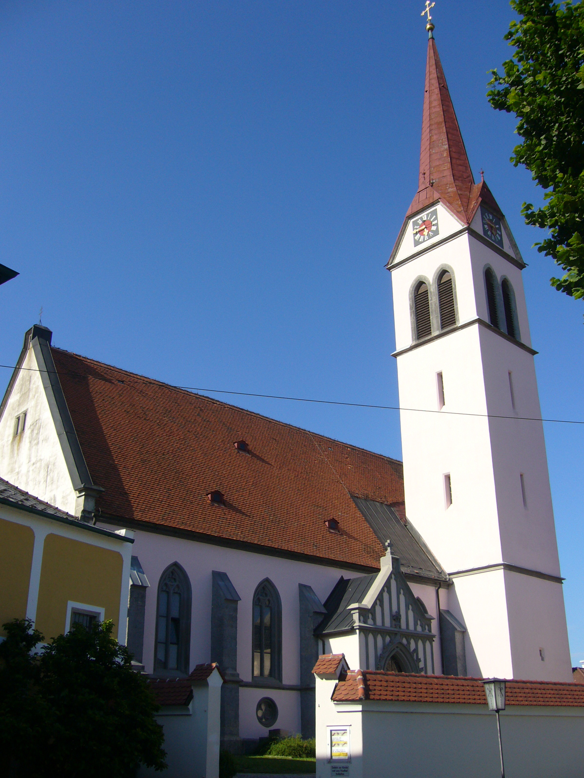
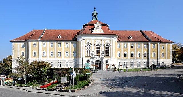
Sankt Peter in der Au (St. Peter in der Au)
- municipality in Austria
 Hiking in Sankt Peter in der Au
Sankt Peter in der Au, located in Austria, is a charming destination for outdoor enthusiasts, particularly those who enjoy hiking. The area is characterized by beautiful landscapes, rolling hills, and lush forests, making it suitable for a variety of hiking experiences, from leisurely walks to more challenging treks.
Hiking Highlights
-
Scenic Trails: The region offers numerous well-marked trails that cater to different skill levels. You can find easy loops ideal for families and beginners, as well as more strenuous routes that lead you through breathtaking natural landscapes.
-
Nature Parks: Close to Sankt Peter in der Au, you can explore local nature parks that showcase the area's rich biodiversity. These parks often provide educational signage along the trails, enhancing your hiking experience by giving you insight into local flora and fauna.
-
Thematic Trails: Look for themed hiking routes that may highlight local history, natural features, or cultural aspects. These trails can often provide a more immersive hiking experience as you learn about the area’s heritage.
-
Seasonal Hiking: Each season offers a unique experience—spring brings vibrant wildflowers, summer offers lush greenery, autumn showcases beautiful foliage, and winter invites snowshoeing and winter hiking.
-
Local Amenities: After a day of hiking, you can enjoy local cuisine in Sankt Peter in der Au. Look for traditional Austrian restaurants where you can replenish your energy with hearty meals.
Tips for Hiking in the Area
-
Prepare Accordingly: Always check the local weather conditions before heading out and dress in layers. Trails can vary from sunny to shaded, and temperatures can change throughout the day.
-
Safety First: Carry plenty of water, snacks, and a first-aid kit. Let someone know your hiking plans, especially if you’re venturing on more remote paths.
-
Trail Maps: Make sure to have a reliable map or a GPS device. While many trails are well-marked, it’s good to have a backup plan.
-
Respect Nature: Follow Leave No Trace principles to help preserve the natural beauty of the area. Stay on marked trails and dispose of waste properly.
-
Check Local Regulations: Some trails may have specific rules regarding dogs, biking, or seasonal closures, so it's wise to check ahead of time.
Sankt Peter in der Au can be a wonderful spot for both novice and experienced hikers looking to explore the natural beauty of Austria. Enjoy your hiking adventure!
- Country:

- Local Dialing Code: 07477
- Licence Plate Code: AM
- Coordinates: 48° 2' 42" N, 14° 37' 29" E


- GPS tracks (wikiloc): [Link]
- AboveSeaLevel: 348 м m
- Area: 59.94 sq km
- Population: 5119
- Web site: http://www.stpeterau.at/
- Wikipedia en: wiki(en)
- Wikipedia: wiki(de)
- Wikidata storage: Wikidata: Q673805
- Wikipedia Commons Category: [Link]
- Freebase ID: [/m/02qsqv7]
- GeoNames ID: Alt: [7871698]
- VIAF ID: Alt: [154998543]
- archINFORM location ID: [15896]
- Library of Congress authority ID: Alt: [n2008026740]
- MusicBrainz area ID: [28c4a84e-33d1-4e4e-b4db-fd4bcc76c719]
- Austrian municipality key: [30530]
Shares border with regions:
Haag
- municipality in Austria
Haag, located in the Amstetten district of Lower Austria, offers a variety of hiking opportunities that cater to different skill levels and preferences. The area is surrounded by beautiful landscapes, including rolling hills, forests, and rivers, making it a picturesque destination for outdoor enthusiasts....
- Country:

- Postal Code: 3350
- Local Dialing Code: 07434
- Licence Plate Code: AM
- Coordinates: 48° 6' 44" N, 14° 33' 56" E


- GPS tracks (wikiloc): [Link]
- AboveSeaLevel: 346 м m
- Area: 54.96 sq km
- Population: 5548
- Web site: [Link]

Weistrach
- municipality in Austria
Weistrach is a charming village located in the Upper Austria region, surrounded by beautiful rolling hills and lush landscapes, making it an excellent destination for hiking enthusiasts. Here are some key highlights and tips for hiking in Weistrach:...
- Country:

- Postal Code: 3351
- Local Dialing Code: 07477
- Licence Plate Code: AM
- Coordinates: 48° 3' 14" N, 14° 35' 2" E


- GPS tracks (wikiloc): [Link]
- AboveSeaLevel: 350 м m
- Area: 35.77 sq km
- Population: 2216
- Web site: [Link]

Wolfsbach
- municipality in Austria
Wolfsbach, located in Lower Austria, offers a serene environment for hikers and nature enthusiasts. This picturesque region is characterized by rolling hills, lush forests, and charming rural landscapes. Here are some highlights and tips for hiking in and around Wolfsbach:...
- Country:

- Postal Code: 3354
- Local Dialing Code: 07477
- Licence Plate Code: AM
- Coordinates: 48° 4' 47" N, 14° 40' 9" E


- GPS tracks (wikiloc): [Link]
- AboveSeaLevel: 384 м m
- Area: 31 sq km
- Population: 2011
- Web site: [Link]


Seitenstetten
- municipality in Austria
Seitenstetten, located in Austria's beautiful Lower Austria region, offers a picturesque setting for hiking enthusiasts. The area is characterized by lush landscapes, rolling hills, and peaceful forests, making it an ideal destination for nature lovers and those looking to escape into the outdoors....
- Country:

- Postal Code: 3353
- Local Dialing Code: 07477
- Licence Plate Code: AM
- Coordinates: 48° 2' 6" N, 14° 39' 15" E


- GPS tracks (wikiloc): [Link]
- AboveSeaLevel: 349 м m
- Area: 30.48 sq km
- Population: 3394
- Web site: [Link]
Haidershofen
- municipality in Austria
Haidershofen, a small village located in Austria, is surrounded by beautiful natural landscapes that make it an excellent destination for hiking enthusiasts. Here are some aspects you might consider when planning a hike in Haidershofen:...
- Country:

- Postal Code: 4431
- Licence Plate Code: AM
- Coordinates: 48° 4' 36" N, 14° 27' 35" E


- GPS tracks (wikiloc): [Link]
- AboveSeaLevel: 285 м m
- Area: 32.04 sq km
- Population: 3670
- Web site: [Link]
Behamberg
- municipality in Austria
Behamberg is a small picturesque area located in Austria, known for its beautiful landscapes and opportunities for outdoor activities, including hiking. The region typically features rolling hills, lush forests, and scenic views, making it an appealing destination for both novice and experienced hikers....
- Country:

- Postal Code: 4441
- Local Dialing Code: 07252
- Licence Plate Code: AM
- Coordinates: 48° 1' 0" N, 14° 28' 0" E


- GPS tracks (wikiloc): [Link]
- AboveSeaLevel: 524 м m
- Area: 20.26 sq km
- Population: 3387
- Web site: [Link]

Maria Neustift
- municipality in Austria
Maria Neustift, located in the scenic region of Upper Austria, offers a variety of hiking opportunities that cater to different skill levels and preferences. This charming area is surrounded by beautiful landscapes, including rolling hills, lush forests, and stunning views of the surrounding mountains. Here are some highlights of hiking in and around Maria Neustift:...
- Country:

- Postal Code: 4443
- Local Dialing Code: 07250
- Licence Plate Code: SE
- Coordinates: 47° 56' 0" N, 14° 37' 0" E


- GPS tracks (wikiloc): [Link]
- AboveSeaLevel: 613 м m
- Area: 46 sq km
- Population: 1592
- Web site: [Link]

Sankt Ulrich bei Steyr
- municipality in Austria
 Hiking in Sankt Ulrich bei Steyr
Sankt Ulrich bei Steyr, located in the Upper Austria region, is a charming village surrounded by beautiful natural landscapes, making it an excellent destination for hiking enthusiasts. The area offers a variety of trails suitable for different skill levels, from leisurely walks to more challenging hikes....
- Country:

- Postal Code: 4400
- Local Dialing Code: 07252
- Licence Plate Code: SE
- Coordinates: 48° 1' 18" N, 14° 25' 27" E


- GPS tracks (wikiloc): [Link]
- AboveSeaLevel: 377 м m
- Area: 39 sq km
- Population: 2969
- Web site: [Link]
Ertl, Lower Austria
- municipality in Austria
Ertl is a small municipality in Lower Austria, known for its beautiful natural landscapes, rolling hills, and charming rural settings. Hiking in the Ertl area offers a great opportunity to explore scenic trails, breathe in fresh air, and enjoy the rich flora and fauna of the region....
- Country:

- Postal Code: 3355
- Local Dialing Code: 07477
- Licence Plate Code: AM
- Coordinates: 47° 58' 36" N, 14° 37' 50" E


- GPS tracks (wikiloc): [Link]
- AboveSeaLevel: 440 м m
- Area: 21.13 sq km
- Population: 1252
- Web site: [Link]
