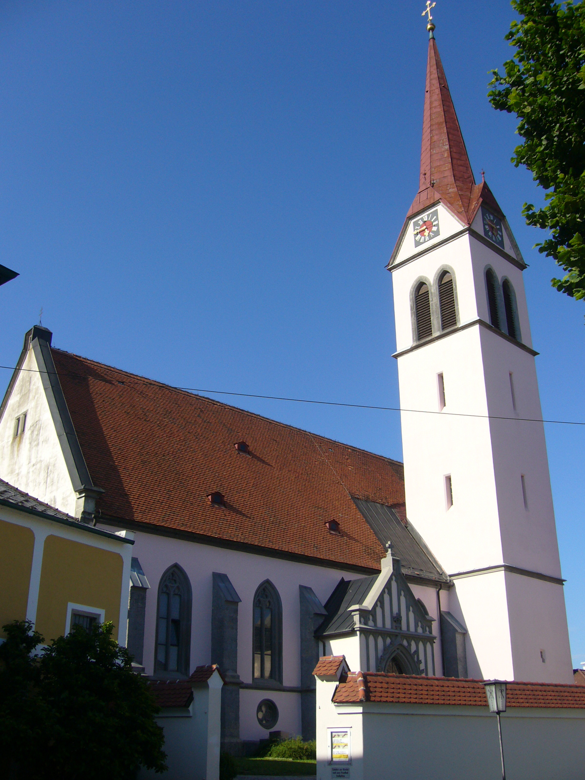
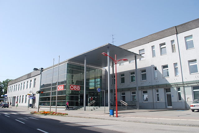
Haag (Haag)
- municipality in Austria
Haag, located in the Amstetten district of Lower Austria, offers a variety of hiking opportunities that cater to different skill levels and preferences. The area is surrounded by beautiful landscapes, including rolling hills, forests, and rivers, making it a picturesque destination for outdoor enthusiasts.
Hiking Trails
-
Local Trails: Haag features several well-marked regional trails that take you through scenic countryside. The trails often showcase the natural beauty of the region, with opportunities to see wildlife and native flora.
-
Forest Paths: The surrounding forests provide shaded paths ideal for warmer days. These trails may lead to tranquil spots perfect for resting or having a picnic.
-
Historical Routes: Some trails may pass by historical landmarks, including churches and traditional villages, allowing you to enjoy both nature and local culture.
-
River Walks: The nearby Ybbs River offers opportunities for walking along its banks, where you can enjoy the calming sound of flowing water.
Tips for Hiking in Haag
- Maps and Guides: It's advisable to check local tourist information for maps or guides to help navigate the trails.
- Weather Conditions: Always check the weather forecast before heading out, as conditions can change quickly in the mountains.
- Equipment: Wear appropriate hiking gear, including sturdy shoes and carry enough water and snacks.
- Respect Nature: Stay on marked trails to protect the local environment and wildlife.
Seasonal Considerations
- Spring and Summer: Ideal for wildflower spotting and enjoying lush green landscapes.
- Autumn: Offers stunning foliage, making it a great time for photography.
- Winter: While hiking may be possible, conditions can be icy, and snow may require appropriate gear.
Haag provides an ideal setting for both day hikes and longer excursions, making it a great destination for nature lovers and hikers of all levels.
- Country:

- Postal Code: 3350
- Local Dialing Code: 07434
- Licence Plate Code: AM
- Coordinates: 48° 6' 44" N, 14° 33' 56" E


- GPS tracks (wikiloc): [Link]
- AboveSeaLevel: 346 м m
- Area: 54.96 sq km
- Population: 5548
- Web site: http://www.haag.gv.at
- Wikipedia en: wiki(en)
- Wikipedia: wiki(de)
- Wikidata storage: Wikidata: Q255534
- Wikipedia Commons Category: [Link]
- Freebase ID: [/m/02qsp37]
- GeoNames ID: Alt: [2777164]
- GND ID: Alt: [4089105-7]
- archINFORM location ID: [10429]
- Austrian municipality key: [30514]
Shares border with regions:

Weistrach
- municipality in Austria
Weistrach is a charming village located in the Upper Austria region, surrounded by beautiful rolling hills and lush landscapes, making it an excellent destination for hiking enthusiasts. Here are some key highlights and tips for hiking in Weistrach:...
- Country:

- Postal Code: 3351
- Local Dialing Code: 07477
- Licence Plate Code: AM
- Coordinates: 48° 3' 14" N, 14° 35' 2" E


- GPS tracks (wikiloc): [Link]
- AboveSeaLevel: 350 м m
- Area: 35.77 sq km
- Population: 2216
- Web site: [Link]

Wolfsbach
- municipality in Austria
Wolfsbach, located in Lower Austria, offers a serene environment for hikers and nature enthusiasts. This picturesque region is characterized by rolling hills, lush forests, and charming rural landscapes. Here are some highlights and tips for hiking in and around Wolfsbach:...
- Country:

- Postal Code: 3354
- Local Dialing Code: 07477
- Licence Plate Code: AM
- Coordinates: 48° 4' 47" N, 14° 40' 9" E


- GPS tracks (wikiloc): [Link]
- AboveSeaLevel: 384 м m
- Area: 31 sq km
- Population: 2011
- Web site: [Link]

St. Valentin
- municipality in Austria
St. Valentin, located in the province of South Tyrol in northern Italy, offers a variety of hiking opportunities that cater to different skill levels and preferences. Nestled in the scenic Val d’Isarco, St. Valentin is surrounded by lush landscapes and beautiful mountain scenery. Here are some key points about hiking in the area:...
- Country:

- Local Dialing Code: 07435
- Licence Plate Code: AM
- Coordinates: 48° 10' 29" N, 14° 32' 0" E


- GPS tracks (wikiloc): [Link]
- AboveSeaLevel: 272 м m
- Area: 45.64 sq km
- Population: 9340
- Web site: [Link]
Sankt Peter in der Au
- municipality in Austria
 Hiking in Sankt Peter in der Au
Sankt Peter in der Au, located in Austria, is a charming destination for outdoor enthusiasts, particularly those who enjoy hiking. The area is characterized by beautiful landscapes, rolling hills, and lush forests, making it suitable for a variety of hiking experiences, from leisurely walks to more challenging treks....
- Country:

- Local Dialing Code: 07477
- Licence Plate Code: AM
- Coordinates: 48° 2' 42" N, 14° 37' 29" E


- GPS tracks (wikiloc): [Link]
- AboveSeaLevel: 348 м m
- Area: 59.94 sq km
- Population: 5119
- Web site: [Link]
Ernsthofen
- municipality in Austria
Ernsthofen is a small village located in Austria, specifically in the Lower Austria region. While it may not be as well-known as some of the larger hiking destinations in the country, it offers some beautiful surrounding landscapes and can be a peaceful spot for hiking enthusiasts....
- Country:

- Local Dialing Code: 07435
- Licence Plate Code: AM
- Coordinates: 48° 7' 40" N, 14° 28' 57" E


- GPS tracks (wikiloc): [Link]
- AboveSeaLevel: 284 м m
- Area: 19.20 sq km
- Population: 2230
- Web site: [Link]
Strengberg
- municipality in Austria
Strengberg, located in Upper Austria, offers a variety of hiking opportunities for outdoor enthusiasts. The scenic landscape is characterized by rolling hills, forests, and beautiful views of the surrounding countryside. Here are some key points to consider for hiking in Strengberg:...
- Country:

- Postal Code: 3314
- Local Dialing Code: 07432
- Licence Plate Code: AM
- Coordinates: 48° 8' 36" N, 14° 39' 2" E


- GPS tracks (wikiloc): [Link]
- AboveSeaLevel: 358 м m
- Area: 36.81 sq km
- Population: 2055
- Web site: [Link]
Haidershofen
- municipality in Austria
Haidershofen, a small village located in Austria, is surrounded by beautiful natural landscapes that make it an excellent destination for hiking enthusiasts. Here are some aspects you might consider when planning a hike in Haidershofen:...
- Country:

- Postal Code: 4431
- Licence Plate Code: AM
- Coordinates: 48° 4' 36" N, 14° 27' 35" E


- GPS tracks (wikiloc): [Link]
- AboveSeaLevel: 285 м m
- Area: 32.04 sq km
- Population: 3670
- Web site: [Link]
