
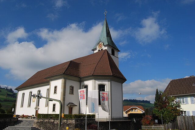
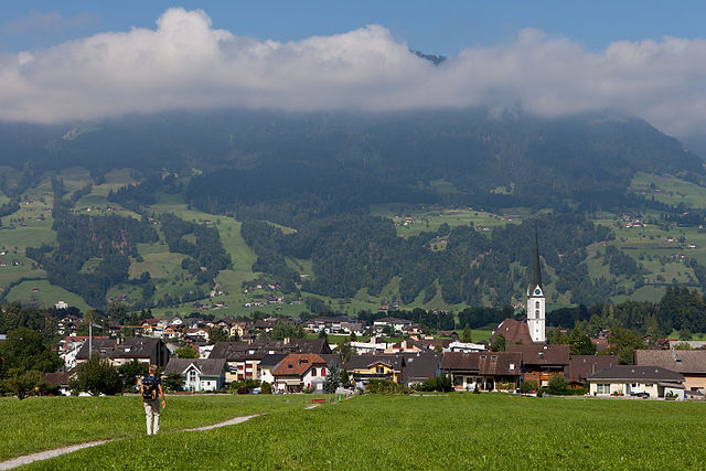
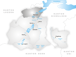
Sarnen (Sarnen)

- town in, and capital of, the Swiss canton of Obwalden
 Hiking in Sarnen
Sarnen, located in the Canton of Obwalden in Switzerland, is a picturesque destination for hiking enthusiasts. Nestled between beautiful mountains and a tranquil lake, Sarnen offers a variety of hiking trails suitable for different skill levels, making it an ideal spot for both beginners and experienced hikers.
Key Features for Hiking in Sarnen:
-
Scenic Views: The hikes around Sarnen provide breathtaking views of the surrounding mountains, including the peaks of the Swiss Alps. You can also enjoy views of Lake Sarnen, which adds to the serenity of the hiking experience.
-
Trail Variety: There are numerous trails ranging from easy lakeside walks to more challenging mountain hikes. Popular options include:
- Lake Sarnen Trail: A flat and easy trail around the lake, perfect for families and those looking for a leisurely stroll.
- Hiking to Mount Pilatus: An adventurous option that offers more challenging terrains and rewarding panoramic views.
- Kernwald Trail: This offers a mix of forest and mountain landscapes, ideal for nature lovers.
-
Seasonal Hiking: Each season offers a different experience. In spring and summer, the trails are lush and vibrant, while autumn brings stunning fall colors. Winter hiking is also popular in the area, with trails that cater to snowshoeing and winter hiking.
-
Wildlife and Nature: The region is rich in biodiversity, with opportunities to spot various wildlife such as deer, foxes, and a variety of bird species. The plant life is equally diverse, with wildflowers blooming in warmer months.
-
Accessibility: Sarnen is well connected by public transport, making it easily accessible from major Swiss cities. The local tourist office can provide maps and guides to help you navigate the trails.
-
Cultural Experiences: Along with outdoor activities, Sarnen has a rich cultural heritage. You can explore local traditions and enjoy Swiss cuisine in nearby restaurants after a day of hiking.
Tips for Hiking in Sarnen:
- Check Weather Conditions: Weather can change quickly in the mountains, so be sure to check the forecast before heading out.
- Layer Your Clothing: Dress in layers as temperatures can vary significantly between the valley and higher elevations.
- Stay Hydrated and Energized: Carry sufficient water and snacks to keep your energy up during hikes.
- Respect Nature: Follow the Leave No Trace principles to preserve the natural beauty of the area.
With its beautiful landscapes and well-maintained trails, Sarnen provides an excellent hiking experience for all adventurers. Whether you're looking for a short walk or a more challenging trek, you're sure to enjoy the stunning Swiss scenery.
- Country:

- Postal Code: 6060
- Local Dialing Code: 041
- Licence Plate Code: OW
- Coordinates: 46° 53' 49" N, 8° 14' 49" E


- GPS tracks (wikiloc): [Link]
- AboveSeaLevel: 1309 м m
- Area: 70.01 sq km
- Population: 10233
- Web site: http://www.sarnen.ch
- Wikipedia en: wiki(en)
- Wikipedia: wiki(de)
- Wikidata storage: Wikidata: Q63964
- Wikipedia Commons Category: [Link]
- Freebase ID: [/m/01v1m4]
- GeoNames ID: Alt: [7287056]
- VIAF ID: Alt: [238102887]
- OSM relation ID: [1683100]
- GND ID: Alt: [4379842-1]
- archINFORM location ID: [1569]
- Encyclopædia Britannica Online ID: [place/Sarnen]
- HDS ID: [746]
- Swiss municipality code: [1407]
Shares border with regions:
Entlebuch
- municipality in the canton of Lucerne, Switzerland
Hiking in Entlebuch
Entlebuch is a stunning area located in the Canton of Lucerne, Switzerland, known for its picturesque landscapes, diverse ecosystems, and opportunities for hiking. As a UNESCO Biosphere Reserve, it features a mix of wetlands, meadows, forests, and mountains, making it an ideal destination for hikers of all levels....
- Country:
- Postal Code: 6162
- Local Dialing Code: 041
- Licence Plate Code: LU
- Coordinates: 46° 59' 34" N, 8° 3' 47" E
- GPS tracks (wikiloc): [Link]
- AboveSeaLevel: 723 м m
- Area: 56.95 sq km
- Population: 3315
- Web site: [Link]

Flühli
- municipality in the canton of Lucerne, Switzerland
Hiking in Flühli
Flühli is a picturesque municipality situated in the Canton of Lucerne, Switzerland. It's an excellent destination for hikers, offering a diverse range of trails amidst stunning Alpine scenery. Here are some highlights for hiking in Flühli:...
- Country:
- Postal Code: 6173
- Local Dialing Code: 041
- Licence Plate Code: LU
- Coordinates: 46° 50' 55" N, 8° 0' 37" E
- GPS tracks (wikiloc): [Link]
- AboveSeaLevel: 1048 м m
- Area: 108.24 sq km
- Population: 1956
- Web site: [Link]


Hasle
- municipality in the canton of Lucerne, Switzerland
Hiking in Hasle
Hiking in Hasle, Lucerne, offers a beautiful experience amidst the stunning landscapes of central Switzerland. Located near the shores of Lake Lucerne and surrounded by the picturesque Swiss Alps, Hasle provides several trails suitable for various skill levels. Here are some highlights to consider if you're planning a hiking adventure in this area:...
- Country:
- Postal Code: 6166
- Local Dialing Code: 041
- Licence Plate Code: LU
- Coordinates: 46° 57' 1" N, 8° 4' 35" E
- GPS tracks (wikiloc): [Link]
- AboveSeaLevel: 1083 м m
- Area: 40.30 sq km
- Population: 1752
- Web site: [Link]
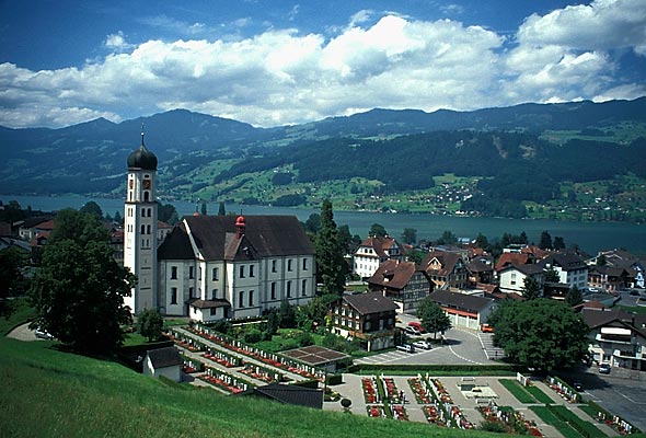

Sachseln
- municipality in Switzerland
Hiking in Sachseln
Sachseln is a beautiful village located in the Obwalden region of Switzerland, near the stunning Lake Sarnen and close to the city of Lucerne. Hiking in and around Sachseln offers a mix of scenic landscapes, cultural experiences, and opportunities for outdoor adventure....
- Country:
- Postal Code: 6072
- Local Dialing Code: 041
- Licence Plate Code: OW
- Coordinates: 46° 52' 4" N, 8° 14' 19" E
- GPS tracks (wikiloc): [Link]
- AboveSeaLevel: 1634 м m
- Area: 53.86 sq km
- Population: 5092
- Web site: [Link]

Kerns
- village in the canton of Obwalden, Switzerland
Hiking in Kerns
Kerns is a picturesque area in Utah, known for its stunning landscapes and outdoor recreation opportunities, including hiking. Here are some key points about hiking in Kerns:...
- Country:
- Postal Code: 6064
- Local Dialing Code: 041
- Licence Plate Code: OW
- Coordinates: 46° 50' 23" N, 8° 18' 5" E
- GPS tracks (wikiloc): [Link]
- AboveSeaLevel: 1017 м m
- Area: 92.58 sq km
- Population: 6295
- Web site: [Link]
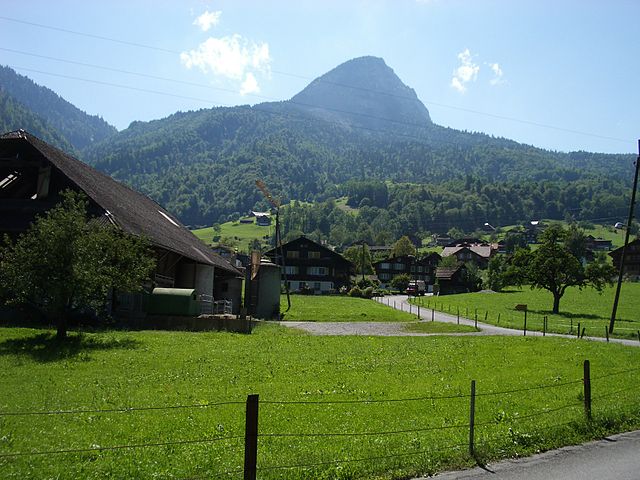

Giswil
- municipality in the canton of Obwalden in Switzerland
Hiking in Giswil
Giswil is a beautiful village located in the Canton of Obwalden in Switzerland, surrounded by stunning mountains and offering a variety of hiking opportunities. Here are some highlights of hiking in and around Giswil:...
- Country:
- Postal Code: 6074
- Local Dialing Code: 041
- Licence Plate Code: OW
- Coordinates: 46° 50' 9" N, 8° 7' 8" E
- GPS tracks (wikiloc): [Link]
- AboveSeaLevel: 1237 м m
- Area: 85.96 sq km
- Population: 3651
- Web site: [Link]

Alpnach
- municipality in Switzerland
Hiking in Alpnach
Alpnach, located in central Switzerland near Lake Alpnach and the foothills of the Swiss Alps, offers a range of hiking opportunities for outdoor enthusiasts. The area features stunning natural beauty, from lush forests and rolling hills to breathtaking alpine views....
- Country:
- Postal Code: 6055
- Local Dialing Code: 041
- Licence Plate Code: OW
- Coordinates: 46° 57' 0" N, 8° 13' 51" E
- GPS tracks (wikiloc): [Link]
- AboveSeaLevel: 1039 м m
- Area: 56.98 sq km
- Population: 6024
- Web site: [Link]