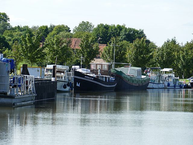
Sarralbe (Sarralbe)

- commune in Moselle, France
- Country:

- Postal Code: 57430
- Coordinates: 48° 59' 46" N, 7° 1' 40" E


- GPS tracks (wikiloc): [Link]
- Area: 27.29 sq km
- Population: 4576
- Web site: http://www.sarralbe.fr
- Wikipedia en: wiki(en)
- Wikipedia: wiki(fr)
- Wikidata storage: Wikidata: Q21979
- Wikipedia Commons Category: [Link]
- Freebase ID: [/m/02w95x4]
- Freebase ID: [/m/02w95x4]
- GeoNames ID: Alt: [2975992]
- GeoNames ID: Alt: [2975992]
- SIREN number: [215706284]
- SIREN number: [215706284]
- BnF ID: [15266131f]
- BnF ID: [15266131f]
- MusicBrainz area ID: [4f0dc711-b46e-4fb4-bb54-25df204e33dd]
- MusicBrainz area ID: [4f0dc711-b46e-4fb4-bb54-25df204e33dd]
- INSEE municipality code: 57628
- INSEE municipality code: 57628
Shares border with regions:

Bissert
- commune in Bas-Rhin, France
- Country:
- Postal Code: 67260
- Coordinates: 48° 56' 31" N, 7° 1' 25" E
- GPS tracks (wikiloc): [Link]
- Area: 3.37 sq km
- Population: 156


Keskastel
- commune in Bas-Rhin, France
- Country:
- Postal Code: 67260
- Coordinates: 48° 58' 17" N, 7° 2' 38" E
- GPS tracks (wikiloc): [Link]
- AboveSeaLevel: 215 м m
- Area: 18.87 sq km
- Population: 1529
- Web site: [Link]
Hinsingen
- commune in Bas-Rhin, France
- Country:
- Postal Code: 67260
- Coordinates: 48° 57' 10" N, 6° 59' 30" E
- GPS tracks (wikiloc): [Link]
- Area: 2.98 sq km
- Population: 89

Herbitzheim
- commune in Bas-Rhin, France
- Country:
- Postal Code: 67260
- Coordinates: 49° 0' 53" N, 7° 5' 3" E
- GPS tracks (wikiloc): [Link]
- Area: 21.73 sq km
- Population: 1849


Harskirchen
- commune in Bas-Rhin, France
- Country:
- Postal Code: 67260
- Coordinates: 48° 55' 55" N, 7° 2' 21" E
- GPS tracks (wikiloc): [Link]
- Area: 14.42 sq km
- Population: 852
- Web site: [Link]


Kirviller
- commune in Moselle, France
- Country:
- Postal Code: 57430
- Coordinates: 48° 57' 10" N, 6° 59' 1" E
- GPS tracks (wikiloc): [Link]
- Area: 2.54 sq km
- Population: 146


Richeling
- commune in Moselle, France
- Country:
- Postal Code: 57510
- Coordinates: 49° 1' 46" N, 6° 57' 38" E
- GPS tracks (wikiloc): [Link]
- Area: 4.21 sq km
- Population: 345


Willerwald
- commune in Moselle, France
- Country:
- Postal Code: 57430
- Coordinates: 49° 1' 37" N, 7° 2' 6" E
- GPS tracks (wikiloc): [Link]
- Area: 6.31 sq km
- Population: 1531

Le Val-de-Guéblange
- commune in Moselle, France
- Country:
- Postal Code: 57430
- Coordinates: 48° 58' 46" N, 6° 57' 39" E
- GPS tracks (wikiloc): [Link]
- Area: 19.08 sq km
- Population: 860

Hambach
- commune in Moselle, France
- Country:
- Postal Code: 57910
- Coordinates: 49° 3' 39" N, 7° 2' 11" E
- GPS tracks (wikiloc): [Link]
- Area: 17.6 sq km
- Population: 2782
- Web site: [Link]


Holving
- commune in Moselle, France
- Country:
- Postal Code: 57510
- Coordinates: 49° 0' 39" N, 6° 57' 54" E
- GPS tracks (wikiloc): [Link]
- Area: 10.75 sq km
- Population: 1298