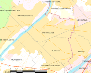
Sartrouville (Sartrouville)
- commune in Yvelines, France
- Country:

- Postal Code: 78500
- Coordinates: 48° 56' 43" N, 2° 10' 12" E


- GPS tracks (wikiloc): [Link]
- Area: 8.46 sq km
- Population: 52538
- Web site: http://www.sartrouville.fr
- Wikipedia en: wiki(en)
- Wikipedia: wiki(fr)
- Wikidata storage: Wikidata: Q209101
- Wikipedia Commons Category: [Link]
- Freebase ID: [/m/033b1w]
- Freebase ID: [/m/033b1w]
- GeoNames ID: Alt: [2975921]
- GeoNames ID: Alt: [2975921]
- SIREN number: [217805860]
- SIREN number: [217805860]
- BnF ID: [152761022]
- BnF ID: [152761022]
- VIAF ID: Alt: [146605732]
- VIAF ID: Alt: [146605732]
- GND ID: Alt: [4248164-8]
- GND ID: Alt: [4248164-8]
- Library of Congress authority ID: Alt: [n82119494]
- Library of Congress authority ID: Alt: [n82119494]
- MusicBrainz area ID: [3f3812d1-fda4-4367-bfa3-141f0ff219d1]
- MusicBrainz area ID: [3f3812d1-fda4-4367-bfa3-141f0ff219d1]
- Twitter username: Alt: [sartrouville78]
- Twitter username: Alt: [sartrouville78]
- INSEE municipality code: 78586
- INSEE municipality code: 78586
Shares border with regions:
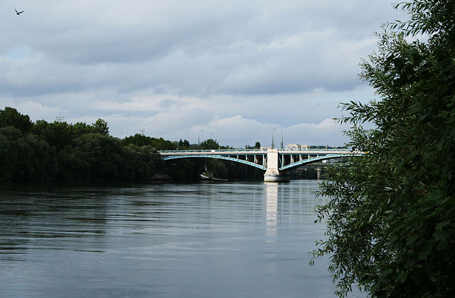

Argenteuil
- commune in Val-d'Oise, France
- Country:

- Postal Code: 95100
- Coordinates: 48° 56' 52" N, 2° 14' 51" E


- GPS tracks (wikiloc): [Link]
- AboveSeaLevel: 169 м m
- Area: 17.22 sq km
- Population: 110388
- Web site: [Link]
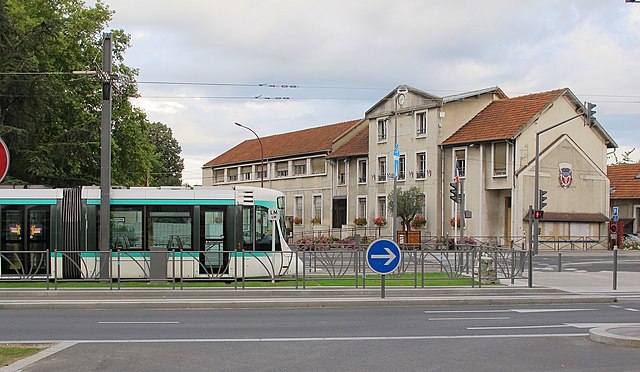
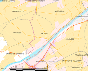
Bezons
- commune in Val-d'Oise, France
- Country:

- Postal Code: 95870
- Coordinates: 48° 55' 32" N, 2° 13' 1" E


- GPS tracks (wikiloc): [Link]
- Area: 4.16 sq km
- Population: 28674
- Web site: [Link]
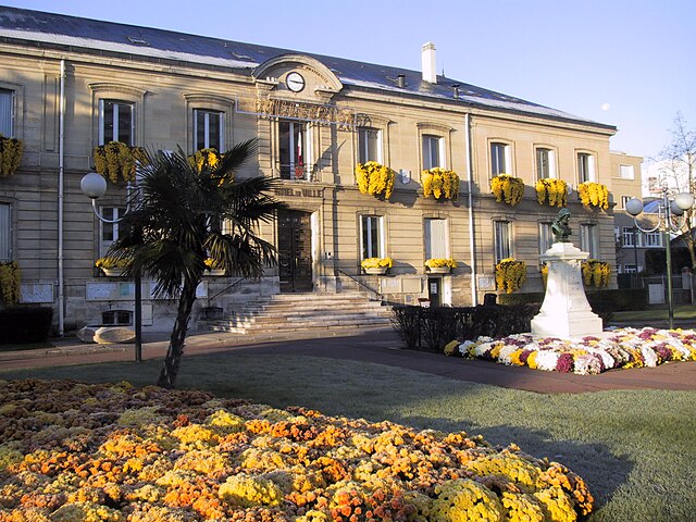

Houilles
- commune in Yvelines, France
- Country:

- Postal Code: 78800
- Coordinates: 48° 55' 32" N, 2° 11' 18" E


- GPS tracks (wikiloc): [Link]
- Area: 4.43 sq km
- Population: 31981
- Web site: [Link]
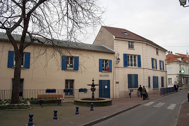

Carrières-sur-Seine
- commune in Yvelines, France
- Country:

- Postal Code: 78420
- Coordinates: 48° 54' 29" N, 2° 10' 41" E


- GPS tracks (wikiloc): [Link]
- Area: 5.02 sq km
- Population: 15197
- Web site: [Link]


Maisons-Laffitte
- commune in Yvelines, France
- Country:

- Postal Code: 78600
- Coordinates: 48° 56' 46" N, 2° 8' 42" E


- GPS tracks (wikiloc): [Link]
- AboveSeaLevel: 38 м m
- Area: 6.75 sq km
- Population: 23371
- Web site: [Link]


Le Mesnil-le-Roi
- commune in Yvelines, France
- Country:

- Postal Code: 78600
- Coordinates: 48° 55' 41" N, 2° 7' 21" E


- GPS tracks (wikiloc): [Link]
- AboveSeaLevel: 42 м m
- Area: 3.25 sq km
- Population: 6303
- Web site: [Link]
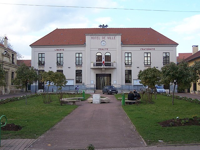

Montesson
- commune in Yvelines, France
- Country:

- Postal Code: 78360
- Coordinates: 48° 54' 31" N, 2° 8' 58" E


- GPS tracks (wikiloc): [Link]
- AboveSeaLevel: 56 м m
- Area: 7.36 sq km
- Population: 15145
- Web site: [Link]
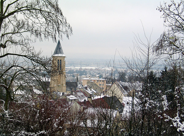

Cormeilles-en-Parisis
- commune in Val-d'Oise, France
- Country:

- Postal Code: 95240
- Coordinates: 48° 58' 23" N, 2° 12' 2" E


- GPS tracks (wikiloc): [Link]
- Area: 8.48 sq km
- Population: 23661
- Web site: [Link]
