Saulnes (Saulnes)
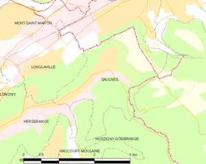
- commune in Meurthe-et-Moselle, France
- Country:

- Postal Code: 54650
- Coordinates: 49° 31' 58" N, 5° 49' 33" E


- GPS tracks (wikiloc): [Link]
- Area: 4 sq km
- Population: 2419
- Web site: http://www.saulnes.mairie.com
- Wikipedia en: wiki(en)
- Wikipedia: wiki(fr)
- Wikidata storage: Wikidata: Q1100908
- Wikipedia Commons Category: [Link]
- Freebase ID: [/m/03qdn1g]
- Freebase ID: [/m/03qdn1g]
- Freebase ID: [/m/03qdn1g]
- GeoNames ID: Alt: [6436854]
- GeoNames ID: Alt: [6436854]
- GeoNames ID: Alt: [6436854]
- SIREN number: [215404930]
- SIREN number: [215404930]
- SIREN number: [215404930]
- BnF ID: [15264560n]
- BnF ID: [15264560n]
- BnF ID: [15264560n]
- INSEE municipality code: 54493
- INSEE municipality code: 54493
- INSEE municipality code: 54493
Shares border with regions:


Herserange
- commune in Meurthe-et-Moselle, France
- Country:

- Postal Code: 54440
- Coordinates: 49° 31' 6" N, 5° 47' 3" E


- GPS tracks (wikiloc): [Link]
- Area: 3.54 sq km
- Population: 4361
- Web site: [Link]


Longlaville
- commune in Meurthe-et-Moselle, France
- Country:

- Postal Code: 54810
- Coordinates: 49° 32' 3" N, 5° 47' 55" E


- GPS tracks (wikiloc): [Link]
- Area: 3.21 sq km
- Population: 2494
- Web site: [Link]


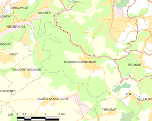
Hussigny-Godbrange
- commune in Meurthe-et-Moselle, France
- Country:

- Postal Code: 54590
- Coordinates: 49° 29' 34" N, 5° 52' 27" E


- GPS tracks (wikiloc): [Link]
- Area: 15.37 sq km
- Population: 3514
- Web site: [Link]
