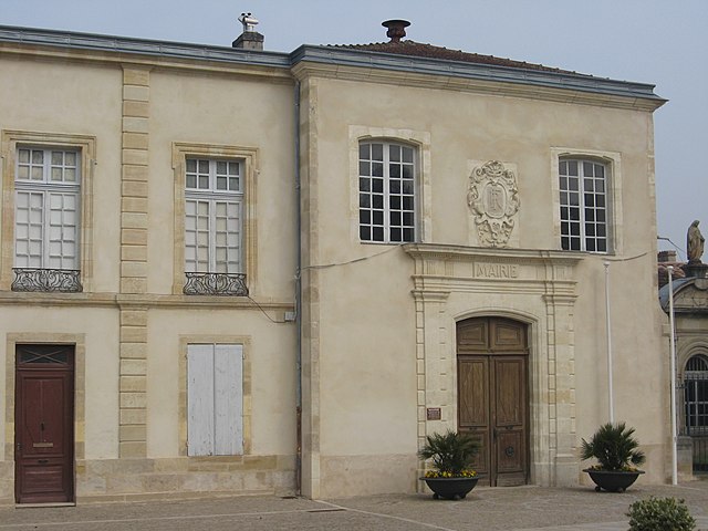
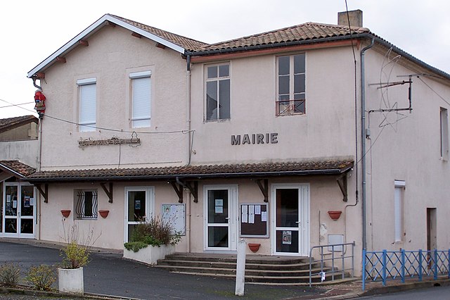
Semens (Semens)

- commune in Gironde, France
- Country:

- Postal Code: 33490
- Coordinates: 44° 36' 48" N, 0° 14' 20" E


- GPS tracks (wikiloc): [Link]
- Area: 3.67 sq km
- Population: 189
- Web site: http://semens.free.fr
- Wikipedia en: wiki(en)
- Wikipedia: wiki(fr)
- Wikidata storage: Wikidata: Q1004159
- Wikipedia Commons Category: [Link]
- Freebase ID: [/m/03ns2fq]
- GeoNames ID: Alt: [6432473]
- SIREN number: [213305105]
- BnF ID: [15256556p]
- INSEE municipality code: 33510
Shares border with regions:

Verdelais
- commune in Gironde, France
- Country:
- Postal Code: 33490
- Coordinates: 44° 35' 16" N, 0° 15' 6" E
- GPS tracks (wikiloc): [Link]
- Area: 4.75 sq km
- Population: 1014
- Web site: [Link]


Saint-Germain-de-Grave
- commune in Gironde, France
- Country:
- Postal Code: 33490
- Coordinates: 44° 37' 32" N, 0° 13' 17" E
- GPS tracks (wikiloc): [Link]
- AboveSeaLevel: 107 м m
- Area: 6.16 sq km
- Population: 168
- Web site: [Link]


Saint-Maixant
- commune in Gironde, France
- Country:
- Postal Code: 33490
- Coordinates: 44° 34' 44" N, 0° 15' 40" E
- GPS tracks (wikiloc): [Link]
- Area: 7.68 sq km
- Population: 1868

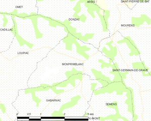
Monprimblanc
- commune in Gironde, France
- Country:
- Postal Code: 33410
- Coordinates: 44° 37' 47" N, 0° 15' 45" E
- GPS tracks (wikiloc): [Link]
- Area: 4.97 sq km
- Population: 290

Saint-André-du-Bois
- commune in Gironde, France
- Country:
- Postal Code: 33490
- Coordinates: 44° 36' 18" N, 0° 10' 59" E
- GPS tracks (wikiloc): [Link]
- Area: 10 sq km
- Population: 428
- Web site: [Link]


Gabarnac
- commune in Gironde, France
- Country:
- Postal Code: 33410
- Coordinates: 44° 36' 55" N, 0° 16' 7" E
- GPS tracks (wikiloc): [Link]
- Area: 5.21 sq km
- Population: 356
- Web site: [Link]


Sainte-Croix-du-Mont
- commune in Gironde, France
- Country:
- Postal Code: 33410
- Coordinates: 44° 35' 36" N, 0° 16' 50" E
- GPS tracks (wikiloc): [Link]
- Area: 8.98 sq km
- Population: 900
- Web site: [Link]