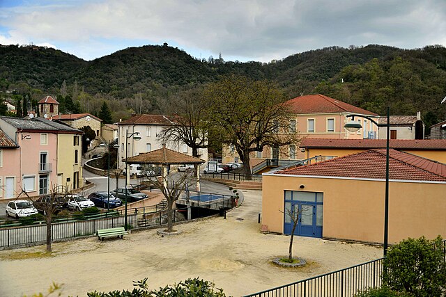
Serves-sur-Rhône (Serves-sur-Rhône)

- commune in Drôme, France
- Country:

- Postal Code: 26600
- Coordinates: 45° 8' 19" N, 4° 49' 4" E


- GPS tracks (wikiloc): [Link]
- Area: 6.49 sq km
- Population: 749
- Wikipedia en: wiki(en)
- Wikipedia: wiki(fr)
- Wikidata storage: Wikidata: Q219404
- Wikipedia Commons Category: [Link]
- Freebase ID: [/m/03mgkzx]
- GeoNames ID: Alt: [6430246]
- SIREN number: [212603419]
- BnF ID: [15253201v]
- VIAF ID: Alt: [242223797]
- INSEE municipality code: 26341
Shares border with regions:

Ponsas
- commune in Drôme, France
- Country:
- Postal Code: 26240
- Coordinates: 45° 9' 34" N, 4° 50' 14" E
- GPS tracks (wikiloc): [Link]
- Area: 2.71 sq km
- Population: 527


Ozon
- commune in Ardèche, France
- Country:
- Postal Code: 07370
- Coordinates: 45° 9' 57" N, 4° 48' 10" E
- GPS tracks (wikiloc): [Link]
- Area: 8.32 sq km
- Population: 403

Vion
- commune in Ardèche, France
- Country:
- Postal Code: 07610
- Coordinates: 45° 6' 37" N, 4° 48' 24" E
- GPS tracks (wikiloc): [Link]
- Area: 6.21 sq km
- Population: 939


Érôme
- commune in Drôme, France
- Country:
- Postal Code: 26600
- Coordinates: 45° 7' 12" N, 4° 49' 16" E
- GPS tracks (wikiloc): [Link]
- Area: 7.33 sq km
- Population: 824