Érôme (Érôme)
- commune in Drôme, France
- Country:

- Postal Code: 26600
- Coordinates: 45° 7' 12" N, 4° 49' 16" E


- GPS tracks (wikiloc): [Link]
- Area: 7.33 sq km
- Population: 824
- Wikipedia en: wiki(en)
- Wikipedia: wiki(fr)
- Wikidata storage: Wikidata: Q617577
- Wikipedia Commons Category: [Link]
- Freebase ID: [/m/03mgl41]
- GeoNames ID: Alt: [6430081]
- SIREN number: [212601199]
- BnF ID: [15252980p]
- Digital Atlas of the Roman Empire ID: [14097]
- INSEE municipality code: 26119
Shares border with regions:
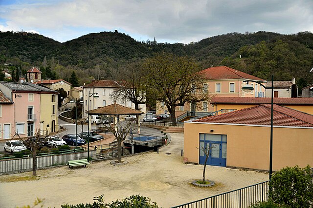

Ponsas
- commune in Drôme, France
- Country:

- Postal Code: 26240
- Coordinates: 45° 9' 34" N, 4° 50' 14" E


- GPS tracks (wikiloc): [Link]
- Area: 2.71 sq km
- Population: 527

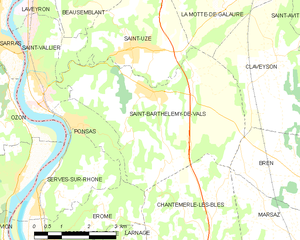
Saint-Barthélemy-de-Vals
- commune in Drôme, France
 Hiking in Saint-Barthélemy-de-Vals
Saint-Barthélemy-de-Vals is a charming village located in the Auvergne-Rhône-Alpes region of France, known for its beautiful landscapes, rolling hills, and diverse natural scenery. While it may not be as famous as some hiking destinations, it offers a variety of trails suited to different skill levels, making it a lovely spot for outdoor enthusiasts....
- Country:

- Postal Code: 26240
- Coordinates: 45° 10' 9" N, 4° 52' 19" E


- GPS tracks (wikiloc): [Link]
- Area: 20.27 sq km
- Population: 1873

Vion
- commune in Ardèche, France
- Country:

- Postal Code: 07610
- Coordinates: 45° 6' 37" N, 4° 48' 24" E


- GPS tracks (wikiloc): [Link]
- Area: 6.21 sq km
- Population: 939
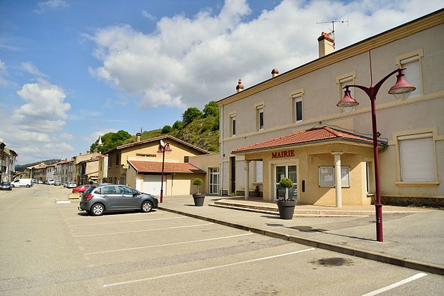

Serves-sur-Rhône
- commune in Drôme, France
- Country:

- Postal Code: 26600
- Coordinates: 45° 8' 19" N, 4° 49' 4" E


- GPS tracks (wikiloc): [Link]
- Area: 6.49 sq km
- Population: 749
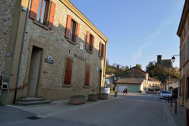

Chantemerle-les-Blés
- commune in Drôme, France
 Hiking in Chantemerle-les-Blés
Chantemerle-les-Blés is a charming village located in the Drôme department of France, which is known for its beautiful landscapes and outdoor activities, including hiking. The region around Chantemerle-les-Blés offers a variety of hiking trails that cater to different skill levels, from leisurely walks to more challenging hikes....
- Country:

- Postal Code: 26600
- Coordinates: 45° 6' 38" N, 4° 53' 49" E


- GPS tracks (wikiloc): [Link]
- Area: 15.39 sq km
- Population: 1273

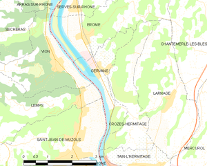
Gervans
- commune in Drôme, France
- Country:

- Postal Code: 26600
- Coordinates: 45° 6' 28" N, 4° 49' 53" E


- GPS tracks (wikiloc): [Link]
- Area: 3.28 sq km
- Population: 566

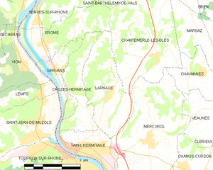
Larnage
- commune in Drôme, France
Larnage, located in the Auvergne-Rhône-Alpes region of France, offers a variety of hiking opportunities that showcase the natural beauty of the countryside. Situated near the northern part of the Rhône valley, the area is characterized by rolling hills, vineyards, and picturesque landscapes....
- Country:

- Postal Code: 26600
- Coordinates: 45° 5' 49" N, 4° 51' 50" E


- GPS tracks (wikiloc): [Link]
- AboveSeaLevel: 247 м m
- Area: 9.08 sq km
- Population: 1071
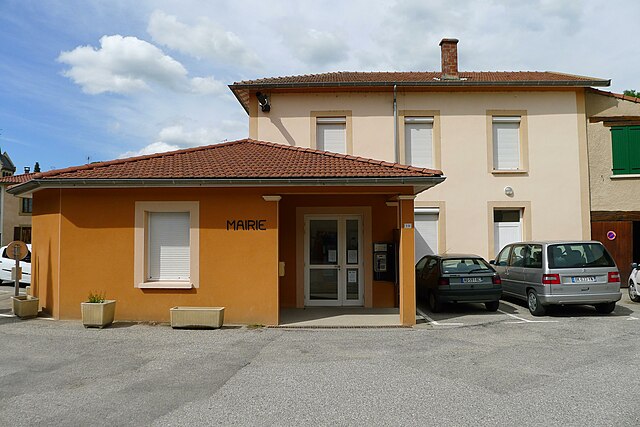

Crozes-Hermitage
- commune in Drôme, France
Crozes-Hermitage is a picturesque region in the northern Rhône Valley of France, renowned for its vineyards and stunning landscapes. Hiking in this area offers not only beautiful views of terraced vineyards but also access to charming villages and the natural beauty of the surrounding hills....
- Country:

- Postal Code: 26600
- Coordinates: 45° 5' 24" N, 4° 50' 45" E


- GPS tracks (wikiloc): [Link]
- Area: 5.48 sq km
- Population: 635
