Sigoyer (Sigoyer)
- commune in Alpes-de-Haute-Provence, France
Sigoyer, located in the Alpes-de-Haute-Provence region of France, is a charming village surrounded by beautiful natural landscapes, making it an excellent destination for hiking enthusiasts. The area offers a variety of hiking trails that cater to different skill levels, providing opportunities for both casual walkers and experienced trekkers.
Key Aspects of Hiking in Sigoyer:
-
Diverse Terrain: The region features a mix of rolling hills, rocky paths, and breathtaking views of the surrounding mountains, including the nearby Lure Mountain. The varied terrain offers a range of hiking experiences.
-
Scenic Views: Hikers can enjoy panoramic views of the French countryside, including lavender fields, vineyards, and the distinctive geological formations of the region.
-
Flora and Fauna: The natural landscapes around Sigoyer are rich in biodiversity. Keep an eye out for local wildlife, such as various bird species and small mammals, as well as an abundance of wildflowers during spring and summer.
-
Local Trails: There are marked hiking trails of varying lengths and difficulties. Some popular options include:
- GR4 (Grand Randonnée): This long-distance trail crosses the area, allowing hikers to explore both the natural beauty and cultural heritage.
- Shorter Loop Trails: There are shorter loops that can be enjoyed for half-day or full-day hikes, perfect for families or those looking for a more relaxed experience.
-
Historical Sites: During your hikes, you may encounter historical landmarks and charming stone villages that tell the story of the region's past, adding a cultural element to your outdoor adventure.
-
Best Time to Hike: The best months for hiking in Sigoyer are typically from late spring to early autumn (May to October), when the weather is mild and the trails are accessible.
-
Preparation and Safety: As with any hiking trip, make sure to prepare adequately. Bring plenty of water, snacks, a map, and appropriate gear for the terrain and weather conditions. It's also a good idea to let someone know your plans and expected return time.
-
Local Amenities: Sigoyer has basic amenities, and nearby towns can provide additional resources such as accommodations and dining options for those looking to extend their stay.
Whether you're seeking a day hike or a multi-day trekking adventure, Sigoyer and its surrounding areas offer a wonderful natural escape for hikers of all levels. Enjoy your hike!
- Country:

- Postal Code: 04200
- Coordinates: 44° 19' 9" N, 5° 57' 30" E


- GPS tracks (wikiloc): [Link]
- Area: 15.3 sq km
- Population: 104
- Wikipedia en: wiki(en)
- Wikipedia: wiki(fr)
- Wikidata storage: Wikidata: Q978632
- Wikipedia Commons Category: [Link]
- Freebase ID: [/m/03m7xnr]
- Freebase ID: [/m/03m7xnr]
- GeoNames ID: Alt: [6618034]
- GeoNames ID: Alt: [6618034]
- SIREN number: [210402079]
- SIREN number: [210402079]
- INSEE municipality code: 04207
- INSEE municipality code: 04207
Shares border with regions:

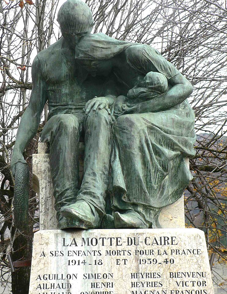
La Motte-du-Caire
- commune in Alpes-de-Haute-Provence, France
La Motte-du-Caire is a charming village located in the Alpes-de-Haute-Provence region of southeastern France. It's a great area for hiking, offering beautiful landscapes, diverse flora and fauna, and various trails that cater to different skill levels. Here are some key points to consider if you're planning a hiking trip in La Motte-du-Caire:...
- Country:

- Postal Code: 04250
- Coordinates: 44° 20' 38" N, 6° 1' 42" E


- GPS tracks (wikiloc): [Link]
- Area: 27.27 sq km
- Population: 554

Upaix
- commune in Hautes-Alpes, France
It seems there might be a typo or misunderstanding surrounding the location "Upaix." If you're referring to hiking in a specific area or region with a similar name, please clarify....
- Country:

- Postal Code: 05300
- Coordinates: 44° 18' 50" N, 5° 53' 26" E


- GPS tracks (wikiloc): [Link]
- Area: 23.26 sq km
- Population: 456
Le Poët
- commune in Hautes-Alpes, France
Le Poët is a charming commune in the Drôme department of southeastern France, nestled in the foothills of the Vercors Mountains. It offers a variety of hiking opportunities that showcase its beautiful landscapes, historical sites, and the rich natural environment....
- Country:

- Postal Code: 05300
- Coordinates: 44° 17' 35" N, 5° 53' 49" E


- GPS tracks (wikiloc): [Link]
- Area: 15.51 sq km
- Population: 771
- Web site: [Link]

Vaumeilh
- commune in Alpes-de-Haute-Provence, France
Vaumeilh is a charming village located in the Alpes-de-Haute-Provence region of France, nestled in the foothills of the French Alps. The area is well-known for its picturesque landscapes, and it offers a variety of hiking opportunities suitable for different skill levels, from leisurely walks to more challenging hikes....
- Country:

- Postal Code: 04200
- Coordinates: 44° 17' 18" N, 5° 57' 33" E


- GPS tracks (wikiloc): [Link]
- Area: 25.52 sq km
- Population: 259

Thèze
- commune in Alpes-de-Haute-Provence, France
Thèze, located in the Alpes-de-Haute-Provence region of France, is a charming village that offers a variety of hiking opportunities amidst breathtaking natural scenery. Here are some highlights about hiking in and around Thèze:...
- Country:

- Postal Code: 04200
- Coordinates: 44° 19' 6" N, 5° 55' 16" E


- GPS tracks (wikiloc): [Link]
- Area: 11.17 sq km
- Population: 230

Melve
- commune in Alpes-de-Haute-Provence, France
Melve is a delightful location for hiking enthusiasts, nestled in nature with various trails and landscapes. While Melve may not be one of the most famous hiking spots, its charm lies in the scenic routes that offer a peaceful hiking experience away from the crowds. Here are some general tips and information if you're considering hiking in Melve:...
- Country:

- Postal Code: 04250
- Coordinates: 44° 21' 17" N, 5° 59' 23" E


- GPS tracks (wikiloc): [Link]
- Area: 14.11 sq km
- Population: 110
