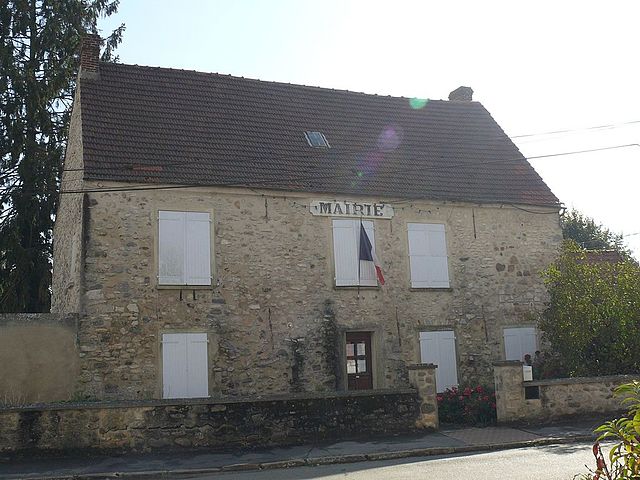
Silly-le-Long (Silly-le-Long)

- commune in Oise, France
- Country:

- Postal Code: 60330
- Coordinates: 49° 6' 25" N, 2° 47' 30" E


- GPS tracks (wikiloc): [Link]
- Area: 11.35 sq km
- Population: 1170
- Wikipedia en: wiki(en)
- Wikipedia: wiki(fr)
- Wikidata storage: Wikidata: Q1331843
- Wikipedia Commons Category: [Link]
- Freebase ID: [/m/03qg6w1]
- GeoNames ID: Alt: [6615081]
- SIREN number: [216006106]
- BnF ID: [15267852k]
- VIAF ID: Alt: [129483789]
- Library of Congress authority ID: Alt: [nr2005013285]
- INSEE municipality code: 60619
Shares border with regions:


Montagny-Sainte-Félicité
- commune in Oise, France
- Country:
- Postal Code: 60950
- Coordinates: 49° 7' 49" N, 2° 44' 18" E
- GPS tracks (wikiloc): [Link]
- AboveSeaLevel: 45 м m
- Area: 5.67 sq km
- Population: 422

Ognes
- commune in Oise, France
- Country:
- Postal Code: 60440
- Coordinates: 49° 5' 59" N, 2° 49' 38" E
- GPS tracks (wikiloc): [Link]
- Area: 6.76 sq km
- Population: 290


Le Plessis-Belleville
- commune in Oise, France
- Country:
- Postal Code: 60330
- Coordinates: 49° 5' 48" N, 2° 45' 11" E
- GPS tracks (wikiloc): [Link]
- Area: 6.86 sq km
- Population: 3200


Nanteuil-le-Haudouin
- commune in Oise, France
- Country:
- Postal Code: 60440
- Coordinates: 49° 8' 30" N, 2° 48' 38" E
- GPS tracks (wikiloc): [Link]
- Area: 20.95 sq km
- Population: 4093
- Web site: [Link]


Saint-Pathus
- commune in Seine-et-Marne, France
- Country:
- Postal Code: 77178
- Coordinates: 49° 4' 14" N, 2° 47' 59" E
- GPS tracks (wikiloc): [Link]
- Area: 5.36 sq km
- Population: 6007
- Web site: [Link]


Oissery
- commune in Seine-et-Marne, France
- Country:
- Postal Code: 77178
- Coordinates: 49° 4' 14" N, 2° 49' 0" E
- GPS tracks (wikiloc): [Link]
- Area: 15.17 sq km
- Population: 2199