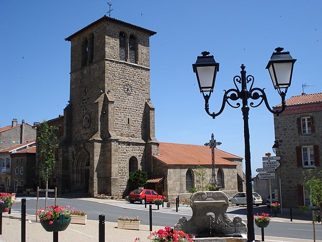
Soleymieux (Soleymieux)

- commune in Loire, France
- Country:

- Postal Code: 42560
- Coordinates: 45° 30' 32" N, 4° 2' 31" E


- GPS tracks (wikiloc): [Link]
- Area: 8.8 sq km
- Population: 644
- Web site: http://www.soleymieux.com/
- Wikipedia en: wiki(en)
- Wikipedia: wiki(fr)
- Wikidata storage: Wikidata: Q599366
- Wikipedia Commons Category: [Link]
- Freebase ID: [/m/03nw9g0]
- Freebase ID: [/m/03nw9g0]
- GeoNames ID: Alt: [6454142]
- GeoNames ID: Alt: [6454142]
- SIREN number: [214203010]
- SIREN number: [214203010]
- BnF ID: [15259867w]
- BnF ID: [15259867w]
- INSEE municipality code: 42301
- INSEE municipality code: 42301
Shares border with regions:


Chenereilles
- commune in Loire, France
- Country:
- Postal Code: 42560
- Coordinates: 45° 29' 3" N, 4° 4' 45" E
- GPS tracks (wikiloc): [Link]
- Area: 8.97 sq km
- Population: 521

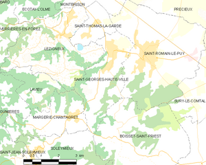
Saint-Georges-Haute-Ville
- commune in Loire, France
- Country:
- Postal Code: 42610
- Coordinates: 45° 33' 15" N, 4° 5' 55" E
- GPS tracks (wikiloc): [Link]
- Area: 9.63 sq km
- Population: 1403
- Web site: [Link]

Saint-Jean-Soleymieux
- commune in Loire, France
- Country:
- Postal Code: 42560
- Coordinates: 45° 30' 13" N, 4° 2' 20" E
- GPS tracks (wikiloc): [Link]
- Area: 16.47 sq km
- Population: 851
- Web site: [Link]

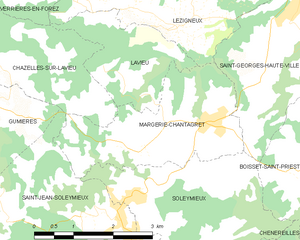
Margerie-Chantagret
- commune in Loire, France
- Country:
- Postal Code: 42560
- Coordinates: 45° 31' 30" N, 4° 4' 0" E
- GPS tracks (wikiloc): [Link]
- Area: 7.71 sq km
- Population: 800

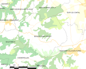
Boisset-Saint-Priest
- commune in Loire, France
- Country:
- Postal Code: 42560
- Coordinates: 45° 30' 47" N, 4° 6' 16" E
- GPS tracks (wikiloc): [Link]
- Area: 18.28 sq km
- Population: 1209
- Web site: [Link]