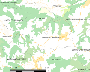
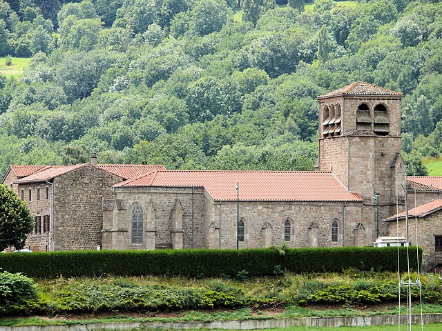
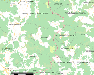
Saint-Jean-Soleymieux (Saint-Jean-Soleymieux)
- commune in Loire, France
- Country:

- Postal Code: 42560
- Coordinates: 45° 30' 13" N, 4° 2' 20" E


- GPS tracks (wikiloc): [Link]
- Area: 16.47 sq km
- Population: 851
- Web site: http://saint-jean-soleymieux.fr/
- Wikipedia en: wiki(en)
- Wikipedia: wiki(fr)
- Wikidata storage: Wikidata: Q1107299
- Wikipedia Commons Category: [Link]
- Freebase ID: [/m/03nw8qp]
- Freebase ID: [/m/03nw8qp]
- GeoNames ID: Alt: [6434278]
- GeoNames ID: Alt: [6434278]
- SIREN number: [214202400]
- SIREN number: [214202400]
- BnF ID: [15259808c]
- BnF ID: [15259808c]
- VIAF ID: Alt: [246994289]
- VIAF ID: Alt: [246994289]
- INSEE municipality code: 42240
- INSEE municipality code: 42240
Shares border with regions:


La Chapelle-en-Lafaye
- commune in Loire, France
- Country:

- Postal Code: 42380
- Coordinates: 45° 27' 46" N, 3° 59' 20" E


- GPS tracks (wikiloc): [Link]
- Area: 8.99 sq km
- Population: 112


Chenereilles
- commune in Loire, France
- Country:

- Postal Code: 42560
- Coordinates: 45° 29' 3" N, 4° 4' 45" E


- GPS tracks (wikiloc): [Link]
- Area: 8.97 sq km
- Population: 521
Chazelles-sur-Lavieu
- commune in Loire, France
- Country:

- Postal Code: 42560
- Coordinates: 45° 32' 20" N, 4° 0' 2" E


- GPS tracks (wikiloc): [Link]
- Area: 9.85 sq km
- Population: 293


Margerie-Chantagret
- commune in Loire, France
- Country:

- Postal Code: 42560
- Coordinates: 45° 31' 30" N, 4° 4' 0" E


- GPS tracks (wikiloc): [Link]
- Area: 7.71 sq km
- Population: 800


Gumières
- commune in Loire, France
- Country:

- Postal Code: 42560
- Coordinates: 45° 31' 52" N, 3° 59' 14" E


- GPS tracks (wikiloc): [Link]
- Area: 16.12 sq km
- Population: 323


Marols
- commune in Loire, France
- Country:

- Postal Code: 42560
- Coordinates: 45° 28' 41" N, 4° 2' 42" E


- GPS tracks (wikiloc): [Link]
- Area: 14.94 sq km
- Population: 414
Saint-Clément-de-Valorgue
- commune in Puy-de-Dôme, France
- Country:

- Postal Code: 63660
- Coordinates: 45° 30' 1" N, 3° 55' 19" E


- GPS tracks (wikiloc): [Link]
- AboveSeaLevel: 919 м m
- Area: 13.37 sq km
- Population: 229
- Web site: [Link]


Soleymieux
- commune in Loire, France
- Country:

- Postal Code: 42560
- Coordinates: 45° 30' 32" N, 4° 2' 31" E


- GPS tracks (wikiloc): [Link]
- Area: 8.8 sq km
- Population: 644
- Web site: [Link]


La Chaulme
- commune in Puy-de-Dôme, France
- Country:

- Postal Code: 63660
- Coordinates: 45° 27' 56" N, 3° 56' 41" E


- GPS tracks (wikiloc): [Link]
- Area: 13.6 sq km
- Population: 120
