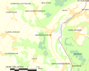
Sorel-Moussel (Sorel-Moussel)

- commune in Eure-et-Loir, France
- Country:

- Postal Code: 28520
- Coordinates: 48° 50' 28" N, 1° 22' 55" E


- GPS tracks (wikiloc): [Link]
- Area: 12.8 sq km
- Population: 1798
- Web site: http://mairiedesorelmoussel.fr
- Wikipedia en: wiki(en)
- Wikipedia: wiki(fr)
- Wikidata storage: Wikidata: Q1137888
- Wikipedia Commons Category: [Link]
- Freebase ID: [/m/03nrmxz]
- GeoNames ID: Alt: [6612443]
- SIREN number: [212803779]
- BnF ID: [15254307f]
- PACTOLS thesaurus ID: [pcrt24iV9SNg0r]
- INSEE municipality code: 28377
Shares border with regions:


Croth
- commune in Eure, France
- Country:
- Postal Code: 27530
- Coordinates: 48° 50' 41" N, 1° 22' 38" E
- GPS tracks (wikiloc): [Link]
- Area: 10.51 sq km
- Population: 1294
- Web site: [Link]

Marcilly-sur-Eure
- commune in Eure, France
- Country:
- Postal Code: 27810
- Coordinates: 48° 49' 35" N, 1° 20' 48" E
- GPS tracks (wikiloc): [Link]
- Area: 15.48 sq km
- Population: 1566


Abondant
- commune in Eure-et-Loir, France
- Country:
- Postal Code: 28570
- Coordinates: 48° 47' 5" N, 1° 26' 21" E
- GPS tracks (wikiloc): [Link]
- Area: 34.8 sq km
- Population: 2320


Anet
- commune in Eure-et-Loir, France
- Country:
- Postal Code: 28260
- Coordinates: 48° 51' 18" N, 1° 26' 22" E
- GPS tracks (wikiloc): [Link]
- Area: 7.85 sq km
- Population: 2690
- Web site: [Link]


Rouvres
- commune in Eure-et-Loir, France
- Country:
- Postal Code: 28260
- Coordinates: 48° 50' 22" N, 1° 29' 5" E
- GPS tracks (wikiloc): [Link]
- AboveSeaLevel: 72 м m
- Area: 16.24 sq km
- Population: 794
Saussay
- commune in Eure-et-Loir, France
- Country:
- Postal Code: 28260
- Coordinates: 48° 51' 25" N, 1° 24' 31" E
- GPS tracks (wikiloc): [Link]
- Area: 4.59 sq km
- Population: 1075
- Web site: [Link]