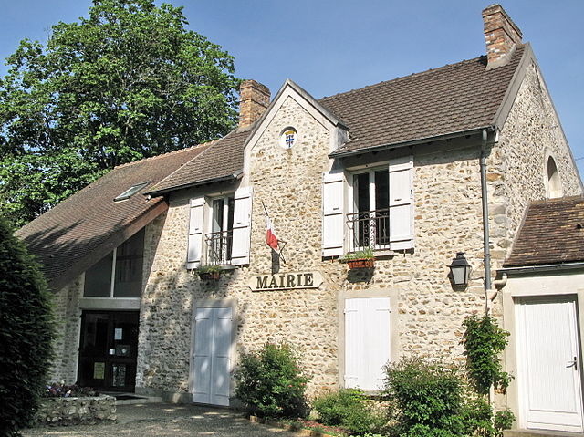
Souzy-la-Briche (Souzy-la-Briche)

- commune in Essonne, France
- Country:

- Postal Code: 91580
- Coordinates: 48° 31' 45" N, 2° 8' 53" E


- GPS tracks (wikiloc): [Link]
- Area: 7.33 sq km
- Population: 411
- Web site: http://souzylabriche.fr/accueil/
- Wikipedia en: wiki(en)
- Wikipedia: wiki(fr)
- Wikidata storage: Wikidata: Q614988
- Wikipedia Commons Category: [Link]
- Freebase ID: [/m/03mh708]
- Freebase ID: [/m/03mh708]
- GeoNames ID: Alt: [2973885]
- GeoNames ID: Alt: [2973885]
- SIREN number: [219106028]
- SIREN number: [219106028]
- BnF ID: [152802174]
- BnF ID: [152802174]
- PACTOLS thesaurus ID: [pcrt0OljfmqVMb]
- PACTOLS thesaurus ID: [pcrt0OljfmqVMb]
- INSEE municipality code: 91602
- INSEE municipality code: 91602
Shares border with regions:

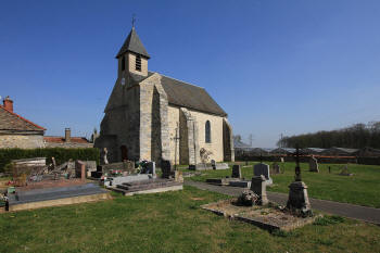
Saint-Sulpice-de-Favières
- commune in Essonne, France
- Country:
- Postal Code: 91910
- Coordinates: 48° 32' 30" N, 2° 10' 48" E
- GPS tracks (wikiloc): [Link]
- Area: 4.37 sq km
- Population: 317
- Web site: [Link]
Villeconin
- commune in Essonne, France
- Country:
- Postal Code: 91580
- Coordinates: 48° 30' 49" N, 2° 7' 25" E
- GPS tracks (wikiloc): [Link]
- Area: 14.45 sq km
- Population: 726
- Web site: [Link]
Chauffour-lès-Étréchy
- commune in Essonne, France
- Country:
- Postal Code: 91580
- Coordinates: 48° 30' 15" N, 2° 10' 8" E
- GPS tracks (wikiloc): [Link]
- Area: 4.8 sq km
- Population: 140

Saint-Chéron
- commune in Essonne, France
- Country:
- Postal Code: 91530
- Coordinates: 48° 33' 13" N, 2° 7' 29" E
- GPS tracks (wikiloc): [Link]
- Area: 11.44 sq km
- Population: 5018
- Web site: [Link]

Breux-Jouy
- commune in Essonne, France
- Country:
- Postal Code: 91650
- Coordinates: 48° 33' 34" N, 2° 9' 18" E
- GPS tracks (wikiloc): [Link]
- Area: 4.68 sq km
- Population: 1248
- Web site: [Link]