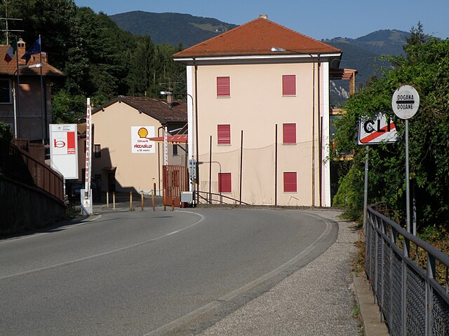
Stabio (Stabio)

- municipality in the canton of Ticino, Switzerland
 Hiking in Stabio
Stabio is a small municipality located in the canton of Ticino, Switzerland. The area is characterized by beautiful landscapes and a mild climate, making it a nice spot for hiking and outdoor activities. Here are some highlights about hiking in Stabio:
Scenic Trails
Stabio offers a variety of hiking trails that cater to different skill levels. Whether you’re looking for a leisurely walk or a more challenging hike, you will find routes that suit your needs. The trails often feature stunning views of the surrounding mountains and valleys, as well as opportunities to explore local flora and fauna.
Proximity to Nature
The region is close to the Italian border, and its landscape boasts rolling hills, vineyards, and rustic countryside. It's the perfect setting for nature enthusiasts who enjoy the tranquility of rural environments.
Nearby Hikes
You can easily access higher trails in the nearby hills and mountains, such as Monte Generoso or Monte San Giorgio, which offer more rigorous hiking options with rewarding panoramic views.
Local Attractions
As you hike, you may encounter charming villages, historic landmarks, and cultural sites. It's also an opportunity to experience the local cuisine, as many trailheads are near restaurants and cafés that serve traditional Ticinese dishes.
Best Time to Hike
The best time to hike in Stabio is typically from late spring to early autumn (May to September) when the weather is milder. However, make sure to check local conditions and trail advisories before setting out.
Preparations
- Gear Up: Make sure you wear appropriate hiking shoes and clothing for the weather.
- Stay Hydrated: Bring plenty of water and snacks, as some trails may not have accessible facilities.
- Map & Directions: It's wise to carry a map or have a hiking app to track your route.
Local Guidance
Consider local hiking clubs or groups for guided hikes or recommendations on the best paths according to seasonal conditions.
Overall, hiking in Stabio can be a delightful experience for both beginners and experienced hikers alike, combining natural beauty with cultural richness. Always prioritize safety and enjoy your time exploring the outdoors!
- Country:

- Postal Code: 6854
- Local Dialing Code: 004191; 091
- Licence Plate Code: TI
- Coordinates: 45° 51' 0" N, 8° 56' 0" E


- GPS tracks (wikiloc): [Link]
- AboveSeaLevel: 357 м m
- Area: 6.23 sq km
- Population: 4616
- Web site: http://stabio.ch
- Wikipedia en: wiki(en)
- Wikipedia: wiki(de)
- Wikidata storage: Wikidata: Q67760
- Wikipedia Commons Category: [Link]
- Freebase ID: [/m/0gr_33]
- GeoNames ID: Alt: [7287209]
- VIAF ID: Alt: [147742758]
- OSM relation ID: [1684761]
- GND ID: Alt: [4359871-7]
- archINFORM location ID: [1638]
- HDS ID: [2245]
- Swiss municipality code: [5266]
Shares border with regions:


Bizzarone
- Italian comune
Hiking in Bizzarone
Bizzarone is a small town in the Lombardy region of northern Italy, located near the border with Switzerland. While it may not be as widely known for hiking as some larger areas, the surrounding landscapes offer beautiful opportunities for those looking to explore nature....
- Country:

- Postal Code: 22020
- Local Dialing Code: 031
- Licence Plate Code: CO
- Coordinates: 45° 50' 0" N, 8° 57' 0" E
- GPS tracks (wikiloc): [Link]
- AboveSeaLevel: 436 м m
- Area: 2.67 sq km
- Population: 1600
- Web site: [Link]


Cantello
- comune in Varese, Lombardy, Italy
Hiking in Cantello
Cantello is a small town located on the border of Italy and Switzerland, near the southern part of the Alps. It offers a beautiful natural setting for hiking enthusiasts, with various trails that cater to different skill levels. Here are some highlights and tips for hiking in Cantello:...
- Country:
- Postal Code: 21050
- Local Dialing Code: 0332
- Licence Plate Code: VA
- Coordinates: 45° 49' 0" N, 8° 53' 0" E
- GPS tracks (wikiloc): [Link]
- AboveSeaLevel: 404 м m
- Area: 9.13 sq km
- Population: 4747
- Web site: [Link]

Clivio
- Italian comune
Hiking in Clivio
Clivio is a picturesque village located in the Lombardy region of Italy, near the border with Switzerland. While Clivio itself may not be a well-known hiking destination, its proximity to beautiful natural landscapes and the Swiss Alps offers ample opportunities for outdoor enthusiasts....
- Country:
- Postal Code: 21050
- Local Dialing Code: 0332
- Licence Plate Code: VA
- Coordinates: 45° 52' 0" N, 8° 56' 0" E
- GPS tracks (wikiloc): [Link]
- AboveSeaLevel: 468 м m
- Area: 2.98 sq km
- Population: 1963
- Web site: [Link]
Rodero
- Italian comune
Hiking in Rodero
Rodero is a charming area, although it might not be widely known for its hiking trails compared to other regions. However, if you're looking for scenic hiking opportunities, here are a few things to keep in mind when hiking in and around such areas:...
- Country:
- Postal Code: 22070
- Local Dialing Code: 031
- Licence Plate Code: CO
- Coordinates: 45° 49' 30" N, 8° 54' 59" E
- GPS tracks (wikiloc): [Link]
- AboveSeaLevel: 400 м m
- Area: 2.52 sq km
- Population: 1381
- Web site: [Link]

Mendrisio
- town in the canton of Ticino, Switzerland
Hiking in Mendrisio
Mendrisio, located in the Italian-speaking region of Switzerland, is a fantastic destination for hiking enthusiasts. The area is characterized by its stunning landscapes, charming villages, and impressive views of the surrounding hills and mountains. Here are some key points to consider when hiking in and around Mendrisio:...
- Country:
- Postal Code: 6850
- Local Dialing Code: 091
- Licence Plate Code: TI
- Coordinates: 45° 52' 0" N, 8° 59' 0" E
- GPS tracks (wikiloc): [Link]
- AboveSeaLevel: 354 м m
- Area: 32.01 sq km
- Population: 14914
- Web site: [Link]