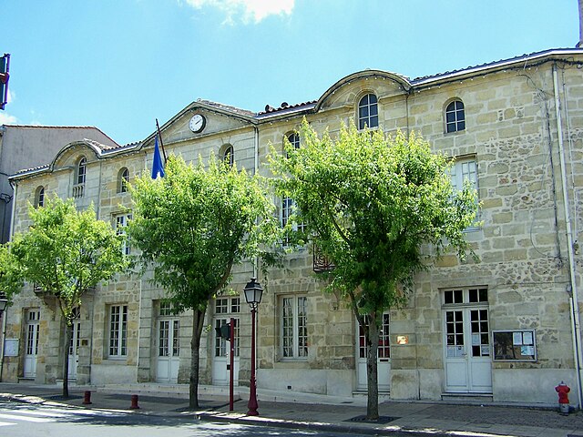
Tabanac (Tabanac)

- commune in Gironde, France
- Country:

- Postal Code: 33550
- Coordinates: 44° 43' 14" N, 0° 24' 20" E


- GPS tracks (wikiloc): [Link]
- Area: 8 sq km
- Population: 1073
- Web site: http://www.mairie-tabanac.fr
- Wikipedia en: wiki(en)
- Wikipedia: wiki(fr)
- Wikidata storage: Wikidata: Q501787
- Wikipedia Commons Category: [Link]
- Freebase ID: [/m/04xghw]
- GeoNames ID: Alt: [6432479]
- SIREN number: [213305188]
- BnF ID: [152565649]
- INSEE municipality code: 33518
Shares border with regions:


Beautiran
- commune in Gironde, France
- Country:
- Postal Code: 33640
- Coordinates: 44° 42' 13" N, 0° 27' 8" E
- GPS tracks (wikiloc): [Link]
- Area: 6.35 sq km
- Population: 2178
- Web site: [Link]


Baurech
- commune in Gironde, France
- Country:
- Postal Code: 33880
- Coordinates: 44° 43' 31" N, 0° 26' 23" E
- GPS tracks (wikiloc): [Link]
- Area: 7.68 sq km
- Population: 816

Castres-Gironde
- commune in Gironde, France
- Country:
- Postal Code: 33640
- Coordinates: 44° 41' 47" N, 0° 26' 41" E
- GPS tracks (wikiloc): [Link]
- Area: 6.97 sq km
- Population: 2299
- Web site: [Link]


Portets
- commune in Gironde, France
- Country:
- Postal Code: 33640
- Coordinates: 44° 41' 49" N, 0° 25' 27" E
- GPS tracks (wikiloc): [Link]
- Area: 15.49 sq km
- Population: 2650
- Web site: [Link]

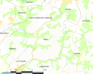
Haux
- commune in Gironde, France
- Country:
- Postal Code: 33550
- Coordinates: 44° 44' 0" N, 0° 21' 37" E
- GPS tracks (wikiloc): [Link]
- Area: 10.21 sq km
- Population: 810
- Web site: [Link]


Le Tourne
- commune in Gironde, France
- Country:
- Postal Code: 33550
- Coordinates: 44° 42' 38" N, 0° 24' 4" E
- GPS tracks (wikiloc): [Link]
- Area: 2.53 sq km
- Population: 799
- Web site: [Link]
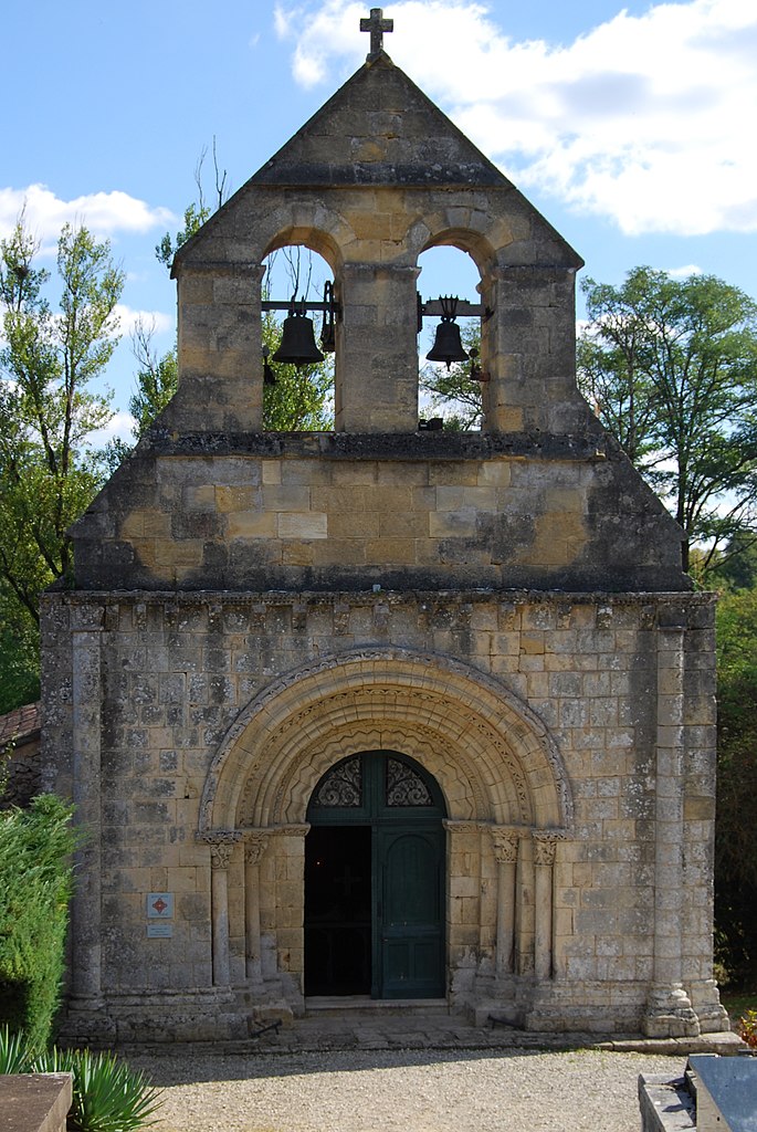

Saint-Genès-de-Lombaud
- commune in Gironde, France
- Country:
- Postal Code: 33670
- Coordinates: 44° 45' 12" N, 0° 22' 54" E
- GPS tracks (wikiloc): [Link]
- Area: 6.14 sq km
- Population: 378
- Web site: [Link]