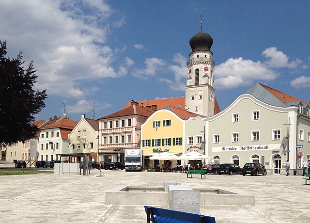
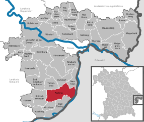
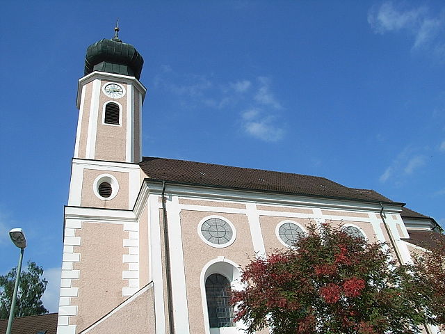
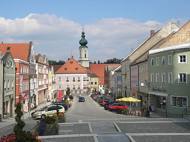
Tettenweis (Tettenweis)
- municipality of Germany
Tettenweis, a picturesque village in Bavaria, Germany, is surrounded by beautiful landscapes and offers various hiking opportunities for outdoor enthusiasts. The region features gentle rolling hills, lush forests, and charming agricultural landscapes, making it ideal for both casual and experienced hikers.
Popular Hiking Trails:
-
Local Trails: There are several well-marked local trails that begin in Tettenweis, ranging from easy walks to more challenging hikes. These trails often pass through forests, fields, and along scenic routes that showcase the natural beauty of the region.
-
Bavarian Forest National Park: A short drive from Tettenweis, the Bavarian Forest National Park offers a network of trails with varying difficulties. This park is known for its rugged terrain, dense forests, and diverse wildlife.
-
Chiemsee Loop: A bit further from Tettenweis, hiking around Chiemsee, one of Bavaria's largest lakes, is also a popular activity. This area combines beautiful lakeside views with the backdrop of the Alps, and the loop offers a variety of lengths and difficulty levels.
Tips for Hiking in Tettenweis:
-
Weather Preparedness: The weather can change rapidly, so check the forecast and dress in layers. Always bring waterproof gear just in case.
-
Footwear: Wear sturdy hiking boots with good tread, as some paths may be uneven or muddy.
-
Trail Maps: While trails are generally well marked, it’s a good idea to bring a hiking map or use a GPS app to navigate unfamiliar routes.
-
Safety: Let someone know your hiking plans, especially if you plan to hike alone. Carry a first-aid kit and plenty of water and snacks.
-
Respect Nature: Follow local guidelines for respecting wildlife and the environment. Stick to marked trails and pack out what you bring in.
Considering Tettenweis's serene rural charm, hiking here can be a wonderful experience for those looking to explore the natural beauty of Bavaria!
- Country:

- Postal Code: 94167
- Local Dialing Code: 08534
- Licence Plate Code: PA
- Coordinates: 48° 26' 0" N, 13° 16' 0" E


- GPS tracks (wikiloc): [Link]
- AboveSeaLevel: 335 м m
- Area: 28.7 sq km
- Population: 1658
- Web site: http://www.tettenweis.de
- Wikipedia en: wiki(en)
- Wikipedia: wiki(de)
- Wikidata storage: Wikidata: Q506272
- Wikipedia Commons Category: [Link]
- Freebase ID: [/m/02q6v5g]
- GeoNames ID: Alt: [2823372]
- VIAF ID: Alt: [244589063]
- OSM relation ID: [958098]
- GND ID: Alt: [4119573-5]
- TGN ID: [7073761]
- Historical Gazetteer (GOV) ID: [TETEI1JN68PK]
- Bavarikon ID: [ODB_A00001575]
- German municipality key: 09275149
Shares border with regions:


Bad Griesbach im Rottal
- municipality of Germany
 Hiking in Bad Griesbach im Rottal
Bad Griesbach, located in the Rottal area of Bavaria, Germany, is renowned for its beautiful landscapes, spa facilities, and a variety of hiking opportunities. Here’s what you can expect when hiking in this picturesque area:...
- Country:

- Postal Code: 94086
- Local Dialing Code: 08542; 08532
- Coordinates: 48° 27' 0" N, 13° 12' 0" E


- GPS tracks (wikiloc): [Link]
- AboveSeaLevel: 453 м m
- Area: 70.13 sq km
- Population: 8859
- Web site: [Link]


Pocking
- municipality of Germany
Pocking is a town located in Bavaria, Germany, near the border with Austria. While it may not be as widely recognized for hiking as other regions in Bavaria, it offers access to some lovely trails and scenic landscapes....
- Country:

- Postal Code: 94060
- Local Dialing Code: 08531
- Licence Plate Code: PA
- Coordinates: 48° 23' 59" N, 13° 19' 0" E


- GPS tracks (wikiloc): [Link]
- AboveSeaLevel: 323 м m
- Area: 68.86 sq km
- Population: 11152
- Web site: [Link]


Ruhstorf an der Rott
- municipality in the district of Passau in Bavaria
 Hiking in Ruhstorf an der Rott
Ruhstorf an der Rott is a picturesque village located in Bavaria, Germany, and offers a charming environment for hiking enthusiasts. The surrounding region is characterized by rolling hills, lush meadows, and scenic woodlands, making it an excellent destination for various outdoor activities. Here are some highlights and tips for hiking in and around Ruhstorf an der Rott:...
- Country:

- Postal Code: 94099
- Local Dialing Code: 08531
- Licence Plate Code: PA
- Coordinates: 48° 26' 0" N, 13° 20' 0" E


- GPS tracks (wikiloc): [Link]
- AboveSeaLevel: 317 м m
- Area: 51.46 sq km
- Population: 5844
- Web site: [Link]


Rotthalmünster
- municipality of Germany
Rotthalmünster is a picturesque village located in Bavaria, Germany, offering a variety of hiking opportunities amid beautiful landscapes. When planning a hiking trip in and around Rotthalmünster, here are some highlights and tips to consider:...
- Country:

- Postal Code: 94094
- Local Dialing Code: 08533
- Licence Plate Code: PA
- Coordinates: 48° 21' 35" N, 13° 12' 10" E


- GPS tracks (wikiloc): [Link]
- AboveSeaLevel: 405 м m
- Area: 44.55 sq km
- Population: 4538
- Web site: [Link]
