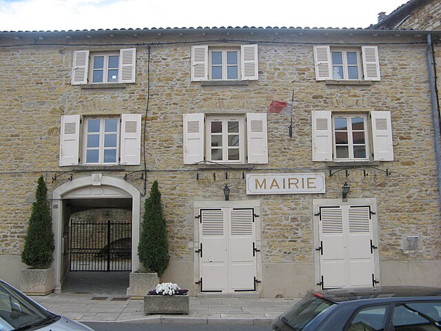
Theizé (Theizé)

- commune in Rhône, France
- Country:

- Postal Code: 69620
- Coordinates: 45° 56' 23" N, 4° 36' 59" E


- GPS tracks (wikiloc): [Link]
- Area: 11.89 sq km
- Population: 1163
- Web site: http://www.theize-en-beaujolais.com
- Wikipedia en: wiki(en)
- Wikipedia: wiki(fr)
- Wikidata storage: Wikidata: Q1388804
- Wikipedia Commons Category: [Link]
- Freebase ID: [/m/03qljjs]
- Freebase ID: [/m/03qljjs]
- GeoNames ID: Alt: [2972978]
- GeoNames ID: Alt: [2972978]
- SIREN number: [216902460]
- SIREN number: [216902460]
- BnF ID: [15272332k]
- BnF ID: [15272332k]
- PACTOLS thesaurus ID: [pcrtqzfd5S2qei]
- PACTOLS thesaurus ID: [pcrtqzfd5S2qei]
- INSEE municipality code: 69246
- INSEE municipality code: 69246
Shares border with regions:


Alix
- commune in Rhône, France
- Country:
- Postal Code: 69380
- Coordinates: 45° 54' 46" N, 4° 39' 15" E
- GPS tracks (wikiloc): [Link]
- Area: 3.61 sq km
- Population: 753
- Web site: [Link]


Ville-sur-Jarnioux
- commune in Rhône, France
- Country:
- Postal Code: 69640
- Coordinates: 45° 57' 42" N, 4° 36' 30" E
- GPS tracks (wikiloc): [Link]
- Area: 10.11 sq km
- Population: 822


Frontenas
- commune in Rhône, France
- Country:
- Postal Code: 69620
- Coordinates: 45° 55' 32" N, 4° 37' 5" E
- GPS tracks (wikiloc): [Link]
- Area: 3.42 sq km
- Population: 816
- Web site: [Link]

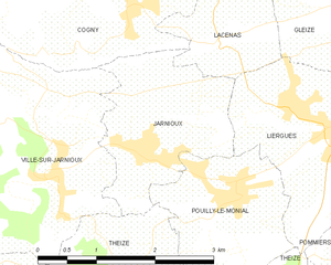
Jarnioux
- commune in Rhône, France
- Country:
- Postal Code: 69640
- Coordinates: 45° 57' 53" N, 4° 37' 38" E
- GPS tracks (wikiloc): [Link]
- Area: 4.2 sq km
- Population: 661


Moiré
- commune in Rhône, France
- Country:
- Postal Code: 69620
- Coordinates: 45° 55' 39" N, 4° 36' 13" E
- GPS tracks (wikiloc): [Link]
- Area: 2.03 sq km
- Population: 200
- Web site: [Link]


Anse
- commune in Rhône, France
- Country:
- Postal Code: 69480
- Coordinates: 45° 56' 8" N, 4° 43' 10" E
- GPS tracks (wikiloc): [Link]
- Area: 15.23 sq km
- Population: 6925
- Web site: [Link]


Lachassagne
- commune in Rhône, France
- Country:
- Postal Code: 69480
- Coordinates: 45° 55' 31" N, 4° 41' 15" E
- GPS tracks (wikiloc): [Link]
- Area: 3.53 sq km
- Population: 1063

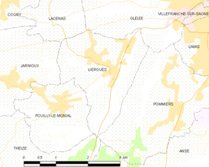
Liergues
- former commune in Rhône, France
- Country:
- Postal Code: 69400
- Coordinates: 45° 58' 11" N, 4° 39' 51" E
- GPS tracks (wikiloc): [Link]
- Area: 5.32 sq km
- Population: 2006


Pouilly-le-Monial
- former commune in Rhône, France
- Country:
- Postal Code: 69400
- Coordinates: 45° 57' 26" N, 4° 38' 48" E
- GPS tracks (wikiloc): [Link]
- Area: 3.81 sq km
- Population: 990

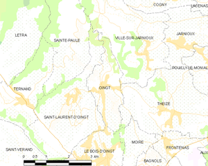
Oingt
- former commune in Rhône, France
- Country:
- Postal Code: 69620
- Coordinates: 45° 56' 52" N, 4° 34' 56" E
- GPS tracks (wikiloc): [Link]
- Area: 3.92 sq km
- Population: 672

Pommiers, Rhône
- commune in Rhône, France
- Country:
- Postal Code: 69480
- Coordinates: 45° 57' 19" N, 4° 41' 33" E
- GPS tracks (wikiloc): [Link]
- Area: 7.76 sq km
- Population: 2531
- Web site: [Link]