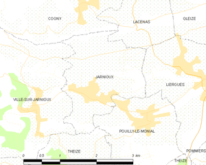
Ville-sur-Jarnioux (Ville-sur-Jarnioux)

- commune in Rhône, France
- Country:

- Postal Code: 69640
- Coordinates: 45° 57' 42" N, 4° 36' 30" E


- GPS tracks (wikiloc): [Link]
- Area: 10.11 sq km
- Population: 822
- Wikipedia en: wiki(en)
- Wikipedia: wiki(fr)
- Wikidata storage: Wikidata: Q1388654
- Wikipedia Commons Category: [Link]
- Freebase ID: [/m/03qljh1]
- Freebase ID: [/m/03qljh1]
- GeoNames ID: Alt: [2968285]
- GeoNames ID: Alt: [2968285]
- SIREN number: [216902650]
- SIREN number: [216902650]
- BnF ID: [15272351v]
- BnF ID: [15272351v]
- INSEE municipality code: 69265
- INSEE municipality code: 69265
Shares border with regions:


Saint-Laurent-d'Oingt
- former commune in Rhône, France
- Country:
- Postal Code: 69620
- Coordinates: 45° 56' 39" N, 4° 33' 47" E
- GPS tracks (wikiloc): [Link]
- Area: 9.05 sq km
- Population: 839


Theizé
- commune in Rhône, France
- Country:
- Postal Code: 69620
- Coordinates: 45° 56' 23" N, 4° 36' 59" E
- GPS tracks (wikiloc): [Link]
- Area: 11.89 sq km
- Population: 1163
- Web site: [Link]

Jarnioux
- commune in Rhône, France
- Country:
- Postal Code: 69640
- Coordinates: 45° 57' 53" N, 4° 37' 38" E
- GPS tracks (wikiloc): [Link]
- Area: 4.2 sq km
- Population: 661


Sainte-Paule
- commune in Rhône, France
- Country:
- Postal Code: 69620
- Coordinates: 45° 57' 41" N, 4° 33' 55" E
- GPS tracks (wikiloc): [Link]
- Area: 7.5 sq km
- Population: 341

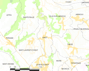
Oingt
- former commune in Rhône, France
- Country:
- Postal Code: 69620
- Coordinates: 45° 56' 52" N, 4° 34' 56" E
- GPS tracks (wikiloc): [Link]
- Area: 3.92 sq km
- Population: 672


Cogny, Rhône
- commune in Rhône, France
- Country:
- Postal Code: 69640
- Coordinates: 45° 59' 15" N, 4° 37' 29" E
- GPS tracks (wikiloc): [Link]
- Area: 5.83 sq km
- Population: 1155