Tour-de-Faure (Tour-de-Faure)

- commune in Lot, France
- Country:

- Postal Code: 46330
- Coordinates: 44° 28' 1" N, 1° 41' 37" E


- GPS tracks (wikiloc): [Link]
- Area: 8.77 sq km
- Population: 329
- Wikipedia en: wiki(en)
- Wikipedia: wiki(fr)
- Wikidata storage: Wikidata: Q1329099
- Wikipedia Commons Category: [Link]
- Freebase ID: [/m/03nwpjk]
- GeoNames ID: Alt: [6434933]
- SIREN number: [214603201]
- BnF ID: [15261061w]
- PACTOLS thesaurus ID: [pcrthADN1c7p9O]
- INSEE municipality code: 46320
Shares border with regions:

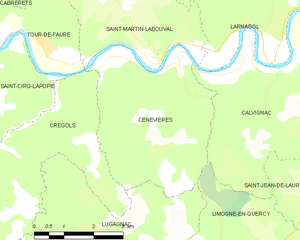
Cénevières
- commune in Lot, France
- Country:
- Postal Code: 46330
- Coordinates: 44° 27' 45" N, 1° 44' 49" E
- GPS tracks (wikiloc): [Link]
- Area: 15.69 sq km
- Population: 165


Saint-Martin-Labouval
- commune in Lot, France
- Country:
- Postal Code: 46330
- Coordinates: 44° 27' 54" N, 1° 44' 0" E
- GPS tracks (wikiloc): [Link]
- Area: 13.49 sq km
- Population: 178


Sauliac-sur-Célé
- commune in Lot, France
- Country:
- Postal Code: 46330
- Coordinates: 44° 31' 2" N, 1° 43' 20" E
- GPS tracks (wikiloc): [Link]
- Area: 25.13 sq km
- Population: 123
- Web site: [Link]


Cabrerets
- commune in Lot, France
- Country:
- Postal Code: 46330
- Coordinates: 44° 30' 22" N, 1° 39' 17" E
- GPS tracks (wikiloc): [Link]
- Area: 43.38 sq km
- Population: 230


Crégols
- commune in Lot, France
- Country:
- Postal Code: 46330
- Coordinates: 44° 27' 22" N, 1° 42' 3" E
- GPS tracks (wikiloc): [Link]
- Area: 18.35 sq km
- Population: 82
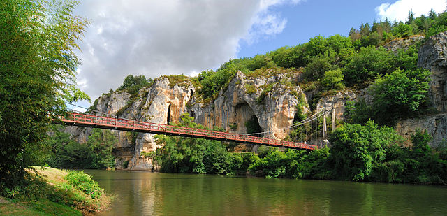

Bouziès
- commune in Lot, France
- Country:
- Postal Code: 46330
- Coordinates: 44° 29' 4" N, 1° 38' 31" E
- GPS tracks (wikiloc): [Link]
- Area: 8.2 sq km
- Population: 80
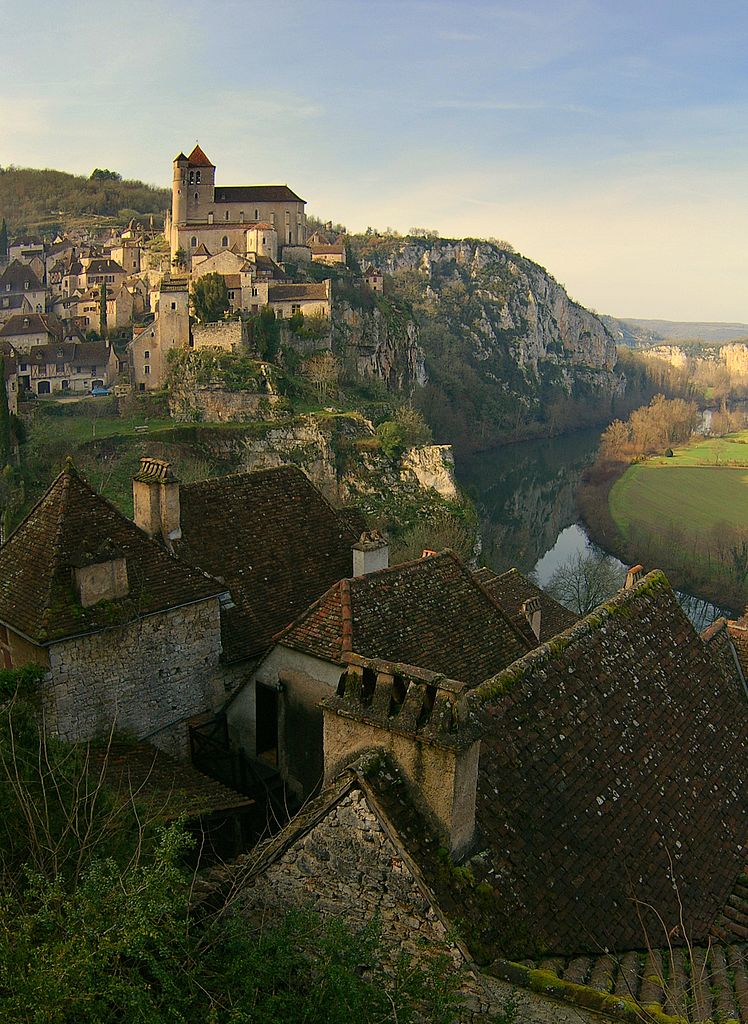

Saint-Cirq-Lapopie
- commune in Lot, France
- Country:
- Postal Code: 46330
- Coordinates: 44° 27' 52" N, 1° 40' 11" E
- GPS tracks (wikiloc): [Link]
- Area: 17.89 sq km
- Population: 208