%20(cropped).JPG)
Saint-Cirq-Lapopie (Saint-Cirq-Lapopie)

- commune in Lot, France
- Country:

- Postal Code: 46330
- Coordinates: 44° 27' 52" N, 1° 40' 11" E


- GPS tracks (wikiloc): [Link]
- Area: 17.89 sq km
- Population: 208
- Wikipedia en: wiki(en)
- Wikipedia: wiki(fr)
- Wikidata storage: Wikidata: Q751961
- Wikipedia Commons Category: [Link]
- Freebase ID: [/m/086q_h]
- GeoNames ID: Alt: [2981104]
- SIREN number: [214602567]
- BnF ID: [152609974]
- VIAF ID: Alt: [145739250]
- Library of Congress authority ID: Alt: [no99001081]
- PACTOLS thesaurus ID: [pcrtiGOLwxethN]
- INSEE municipality code: 46256
Shares border with regions:
Berganty
- commune in Lot, France
- Country:
- Postal Code: 46090
- Coordinates: 44° 26' 37" N, 1° 38' 49" E
- GPS tracks (wikiloc): [Link]
- Area: 6.98 sq km
- Population: 111
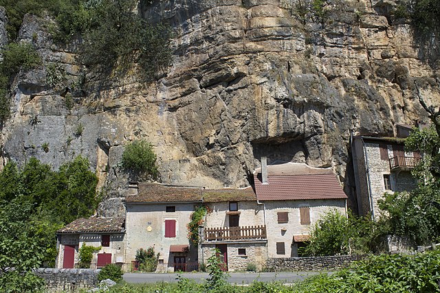
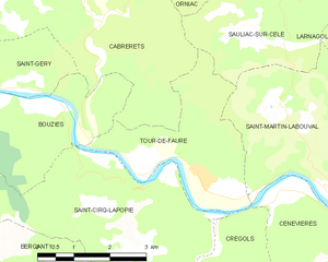
Tour-de-Faure
- commune in Lot, France
- Country:
- Postal Code: 46330
- Coordinates: 44° 28' 1" N, 1° 41' 37" E
- GPS tracks (wikiloc): [Link]
- Area: 8.77 sq km
- Population: 329


Saint-Géry
- former commune in Lot, France
- Country:
- Postal Code: 46330
- Coordinates: 44° 28' 43" N, 1° 34' 52" E
- GPS tracks (wikiloc): [Link]
- Area: 13.58 sq km
- Population: 443


Crégols
- commune in Lot, France
- Country:
- Postal Code: 46330
- Coordinates: 44° 27' 22" N, 1° 42' 3" E
- GPS tracks (wikiloc): [Link]
- Area: 18.35 sq km
- Population: 82
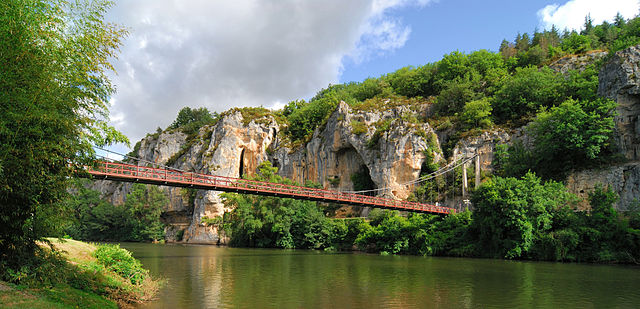

Bouziès
- commune in Lot, France
- Country:
- Postal Code: 46330
- Coordinates: 44° 29' 4" N, 1° 38' 31" E
- GPS tracks (wikiloc): [Link]
- Area: 8.2 sq km
- Population: 80
Concots
- commune in Lot, France
- Country:
- Postal Code: 46260
- Coordinates: 44° 24' 6" N, 1° 38' 39" E
- GPS tracks (wikiloc): [Link]
- Area: 26.02 sq km
- Population: 419


Esclauzels
- commune in Lot, France
- Country:
- Postal Code: 46090
- Coordinates: 44° 25' 18" N, 1° 37' 14" E
- GPS tracks (wikiloc): [Link]
- Area: 17.73 sq km
- Population: 224