Trévien (Trévien)

- commune in Tarn, France
- Country:

- Postal Code: 81190
- Coordinates: 44° 6' 38" N, 2° 7' 25" E


- GPS tracks (wikiloc): [Link]
- Area: 16.26 sq km
- Population: 188
- Wikipedia en: wiki(en)
- Wikipedia: wiki(fr)
- Wikidata storage: Wikidata: Q1390505
- Wikipedia Commons Category: [Link]
- Freebase ID: [/m/03qm5rj]
- GeoNames ID: Alt: [6444973]
- SIREN number: [218103042]
- INSEE municipality code: 81304
Shares border with regions:


Montirat
- commune in Tarn, France
- Country:
- Postal Code: 81190
- Coordinates: 44° 9' 33" N, 2° 6' 10" E
- GPS tracks (wikiloc): [Link]
- Area: 27.78 sq km
- Population: 257
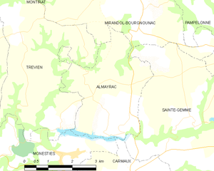
Almayrac
- commune in Tarn, France
- Country:
- Postal Code: 81190
- Coordinates: 44° 6' 3" N, 2° 10' 1" E
- GPS tracks (wikiloc): [Link]
- Area: 10.97 sq km
- Population: 283


Mirandol-Bourgnounac
- commune in Tarn, France
- Country:
- Postal Code: 81190
- Coordinates: 44° 8' 32" N, 2° 9' 59" E
- GPS tracks (wikiloc): [Link]
- Area: 38.19 sq km
- Population: 1043
- Web site: [Link]

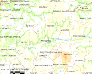
Monestiés
- commune in Tarn, France
- Country:
- Postal Code: 81640
- Coordinates: 44° 4' 16" N, 2° 5' 50" E
- GPS tracks (wikiloc): [Link]
- Area: 26.83 sq km
- Population: 1388