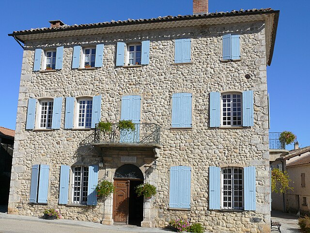
Trescléoux (Trescléoux)
- commune in Hautes-Alpes, France
 Hiking in Trescléoux
Trescléoux, located in the Hautes-Alpes department of France, offers a unique hiking experience with stunning landscapes and diverse trails. Nestled in the foothills of the Alps, it provides hikers with access to beautiful natural features, including rolling hills, rocky outcrops, and alpine meadows.
Key Highlights of Hiking in Trescléoux:
-
Scenic Trails: The area boasts a variety of hiking trails, ranging from easy walks to more challenging routes. The trails often provide picturesque views of surrounding mountains and valleys.
-
Flora and Fauna: Hikers can enjoy the rich biodiversity of the region. Depending on the season, you may encounter a wide array of wildflowers, unique plant species, and wildlife, including chamois, marmots, and various birds.
-
Local Culture: The hiking experience in Trescléoux is enriched by the quaint local architecture and traditional farmsteads. You may encounter small villages where you can experience local life and perhaps taste regional products.
-
Historic Landmarks: The region is steeped in history, and some hikes may lead you to old ruins, chapels, or viewpoints that offer a glimpse into the past.
-
Accessibility: The area around Trescléoux is relatively less crowded than more famous hiking destinations in the Alps, making it an ideal location for those seeking a quieter experience.
Tips for Hiking in Trescléoux:
- Check the Weather: Mountain weather can change rapidly. Always check forecasts before heading out and be prepared for various conditions.
- Proper Gear: Wear appropriate hiking footwear and carry enough water, snacks, and a map or GPS device for navigation.
- Local Guides: If you're unfamiliar with the area, consider hiring a local guide who can provide insights and ensure a safe experience.
- Respect Nature: Follow the Leave No Trace principles to preserve the natural beauty of the area.
Overall, hiking in Trescléoux can be a rewarding experience, blending nature, culture, and tranquility. Enjoy your adventure!
- Country:

- Postal Code: 05700
- Coordinates: 44° 21' 15" N, 5° 42' 31" E


- GPS tracks (wikiloc): [Link]
- Area: 18.68 sq km
- Population: 318
- Web site: http://www.trescleoux.sitew.com
- Wikipedia en: wiki(en)
- Wikipedia: wiki(fr)
- Wikidata storage: Wikidata: Q927602
- Wikipedia Commons Category: [Link]
- Freebase ID: [/m/03mfnp7]
- Freebase ID: [/m/03mfnp7]
- SIREN number: [210501722]
- SIREN number: [210501722]
- VIAF ID: Alt: [235230691]
- VIAF ID: Alt: [235230691]
- INSEE municipality code: 05172
- INSEE municipality code: 05172
Shares border with regions:

Chanousse
- commune in Hautes-Alpes, France
Hiking in Chanousse
It seems like you might be asking about hiking in the area around Chamois, which is in the Vanoise National Park in the French Alps, or maybe another specific location. However, since "Chanousse" doesn't exactly align with known hiking destinations, I'll provide general information about hiking in mountainous areas and the Vanoise National Park that can be applicable....
- Country:
- Postal Code: 05700
- Coordinates: 44° 21' 18" N, 5° 39' 20" E
- GPS tracks (wikiloc): [Link]
- Area: 20.32 sq km
- Population: 41


Eyguians
- former commune in Hautes-Alpes, France
Hiking in Eyguians
Eyguians, a charming village located in the French Alps, offers a range of hiking opportunities for outdoor enthusiasts of various skill levels. Nestled in the Hautes-Alpes department, this region is characterized by stunning mountain scenery, lush forests, and diverse wildlife....
- Country:
- Postal Code: 05300
- Coordinates: 44° 20' 47" N, 5° 46' 21" E
- GPS tracks (wikiloc): [Link]
- Area: 9.37 sq km
- Population: 229

Saint-Genis
- former commune in Hautes-Alpes, France
Hiking in Saint-Genis
Saint-Genis in the Hautes-Alpes region of France is a picturesque village surrounded by stunning mountainous landscapes, making it an excellent location for hiking enthusiasts. The area features a variety of trails that cater to different skill levels, offering opportunities for both casual walkers and seasoned hikers....
- Country:
- Coordinates: 44° 22' 46" N, 5° 46' 7" E
- GPS tracks (wikiloc): [Link]
- Area: 18.32 sq km
- Population: 50

Méreuil
- commune in Hautes-Alpes, France
Hiking in Méreuil
Méreuil, located in the picturesque Provence-Alpes-Côte d'Azur region of France, offers some delightful hiking opportunities. Here are some key points about hiking in this area:...
- Country:
- Postal Code: 05700
- Coordinates: 44° 23' 13" N, 5° 43' 50" E
- GPS tracks (wikiloc): [Link]
- Area: 10.61 sq km
- Population: 80

Orpierre
- commune in Hautes-Alpes, France
Hiking in Orpierre
Orpierre, located in the Hautes-Alpes region of southeastern France, is a charming village known for its stunning natural surroundings and outdoor activities, particularly hiking. The area is characterized by beautiful limestone cliffs, lush forests, and impressive views of the Provence landscape. Here are some key points to consider when hiking in Orpierre:...
- Country:
- Postal Code: 05700
- Coordinates: 44° 18' 47" N, 5° 41' 27" E
- GPS tracks (wikiloc): [Link]
- Area: 27.57 sq km
- Population: 341
- Web site: [Link]
Lagrand
- former commune in Hautes-Alpes, France
Hiking in Lagrand
Lagrand is not a widely known hiking location, so I assume you might be referring to an area such as Lagrande in the U.S. state of Oregon or possibly another place with a similar name....
- Country:
- Postal Code: 05300
- Coordinates: 44° 20' 29" N, 5° 45' 21" E
- GPS tracks (wikiloc): [Link]
- Area: 6.92 sq km
- Population: 267

Montrond
- commune in Hautes-Alpes, France
Hiking in Montrond
Montrond, located in the Hautes-Alpes region of southeastern France, is known for its stunning natural landscapes and a variety of hiking opportunities. The area is part of the French Alps, which offers beautiful vistas, diverse flora and fauna, and well-marked hiking trails suitable for all skill levels....
- Country:
- Postal Code: 05700
- Coordinates: 44° 22' 54" N, 5° 44' 27" E
- GPS tracks (wikiloc): [Link]
- Area: 4.46 sq km
- Population: 63