Tressandans (Tressandans)

- commune in Doubs, France
- Country:

- Postal Code: 25680
- Coordinates: 47° 29' 53" N, 6° 20' 4" E


- GPS tracks (wikiloc): [Link]
- Area: 2.34 sq km
- Population: 25
- Wikipedia en: wiki(en)
- Wikipedia: wiki(fr)
- Wikidata storage: Wikidata: Q904907
- Wikipedia Commons Category: [Link]
- Freebase ID: [/m/03mhdkr]
- GeoNames ID: Alt: [6612400]
- SIREN number: [212505705]
- BnF ID: [15252796h]
- INSEE municipality code: 25570
Shares border with regions:


Chassey-lès-Montbozon
- commune in Haute-Saône, France
- Country:
- Postal Code: 70230
- Coordinates: 47° 30' 38" N, 6° 20' 1" E
- GPS tracks (wikiloc): [Link]
- Area: 15.6 sq km
- Population: 216

Thieffrans
- commune in Haute-Saône, France
- Country:
- Postal Code: 70230
- Coordinates: 47° 30' 3" N, 6° 18' 59" E
- GPS tracks (wikiloc): [Link]
- Area: 9.36 sq km
- Population: 175


Bonnal
- commune in Doubs, France
- Country:
- Postal Code: 25680
- Coordinates: 47° 30' 25" N, 6° 21' 20" E
- GPS tracks (wikiloc): [Link]
- Area: 1.8 sq km
- Population: 32

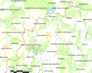
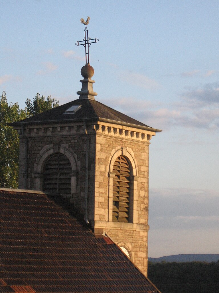
Rougemont
- commune in Doubs, France
 Hiking in Rougemont
Rougemont, located in the Doubs department of France, is a picturesque destination that offers excellent hiking opportunities amidst beautiful natural landscapes. Here's an overview of what you can expect when hiking in this area:...
- Country:
- Postal Code: 25680
- Coordinates: 47° 28' 52" N, 6° 21' 18" E
- GPS tracks (wikiloc): [Link]
- Area: 18.33 sq km
- Population: 1173
- Web site: [Link]