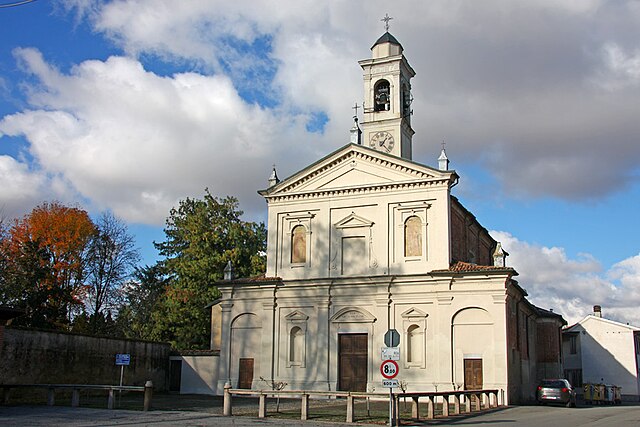
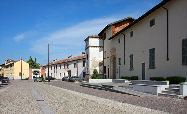
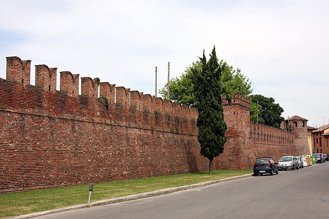
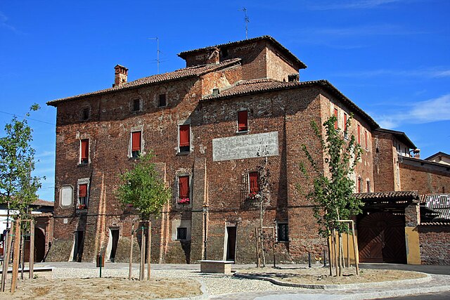
Tromello (Tromello)
.svg)
- Italian comune
 Hiking in Tromello
Tromello is a small town located in the Lombardy region of Italy, known more for its agricultural landscape and quaint charm than for extensive hiking trails. However, the surrounding area offers opportunities for outdoor activities and nature exploration.
While Tromello itself may not have dedicated hiking trails, you can explore the nearby Ticino River Park (Parco del Ticino), which is within a reasonable distance. This park features diverse landscapes, including wetlands, forests, and riverbanks, making it an excellent spot for hiking, birdwatching, and enjoying nature.
Hiking Recommendations:
-
Nearby Trails:
- Look for trails along the Ticino River, where you will find marked paths suitable for hiking and biking. The park has well-maintained trails that range from easy to moderate difficulty.
-
Spring and Fall Hiking:
- The best times to hike in this area are during spring (April to June) and fall (September to October) when temperatures are milder, and nature is vibrant.
-
Wildlife Watching:
- Bring binoculars for birdwatching, as the park is home to diverse bird species.
-
Essential Gear:
- Wear sturdy hiking shoes, carry plenty of water, and pack a map of the area or download a hiking app for navigation.
-
Local Cuisine:
- After a day of hiking, consider trying local delicacies in Tromello—such as the regional cheeses and meats in the local eateries.
Conclusion:
Although Tromello may not be a hiking hotspot, the nearby Ticino River Park offers scenic trails and the chance to immerse yourself in nature. Make sure to plan your hike based on the current weather conditions and park regulations!
- Country:

- Postal Code: 27020
- Local Dialing Code: 0382
- Licence Plate Code: PV
- Coordinates: 45° 13' 0" N, 8° 52' 0" E


- GPS tracks (wikiloc): [Link]
- AboveSeaLevel: 97 м m
- Area: 35.5 sq km
- Population: 3795
- Web site: http://www.comune.tromello.pv.it/
- Wikipedia en: wiki(en)
- Wikipedia: wiki(it)
- Wikidata storage: Wikidata: Q40036
- Wikipedia Commons Category: [Link]
- Freebase ID: [/m/0gjxs8]
- GeoNames ID: Alt: [6540210]
- OSM relation ID: [44382]
- UN/LOCODE: [ITZTP]
- ISTAT ID: 018164
- Italian cadastre code: L449
Shares border with regions:

Cergnago
- Italian comune
Hiking in Cergnago
Cergnago is a small town in the province of Varese, Italy, ideally located in the foothills of the Alps. While it may not be as widely recognized for hiking as some of its neighboring areas, it does offer some beautiful landscapes and trails that can be enjoyed by outdoor enthusiasts....
- Country:
- Postal Code: 27020
- Local Dialing Code: 0384
- Licence Plate Code: PV
- Coordinates: 45° 12' 0" N, 8° 46' 0" E
- GPS tracks (wikiloc): [Link]
- AboveSeaLevel: 100 м m
- Area: 13.56 sq km
- Population: 719
- Web site: [Link]

Borgo San Siro
- Italian comune
Hiking in Borgo San Siro
Borgo San Siro is a charming municipality located in the Province of Pavia in Lombardy, Italy. While it may not be as widely known as some of the larger hiking destinations in Italy, it offers a peaceful setting with natural beauty and a variety of potential hiking trails....
- Country:
- Postal Code: 27020
- Local Dialing Code: 0382
- Licence Plate Code: PV
- Coordinates: 45° 15' 0" N, 9° 2' 0" E
- GPS tracks (wikiloc): [Link]
- AboveSeaLevel: 98 м m
- Area: 17.64 sq km
- Population: 1002
- Web site: [Link]

Gambolò
- Italian comune
Hiking in Gambolò
Gambolò is a small town located in the Lombardy region of Italy, in the province of Pavia. While it's not traditionally recognized as a major hiking destination, there are opportunities for nature walks and nearby countryside exploration that can appeal to hikers looking for a more tranquil experience....
- Country:
- Postal Code: 27025
- Local Dialing Code: 0381
- Licence Plate Code: PV
- Coordinates: 45° 15' 31" N, 8° 51' 53" E
- GPS tracks (wikiloc): [Link]
- AboveSeaLevel: 104 м m
- Area: 51.7 sq km
- Population: 9916
- Web site: [Link]


Valeggio
- Italian comune
Hiking in Valeggio
Valeggio sul Mincio, located in the Lombardy region of Italy, is known for its picturesque landscapes, historical sites, and the beautiful Mincio River. Hiking in this area offers a unique combination of natural beauty and cultural heritage. Here are some highlights and tips for hiking in Valeggio:...
- Country:
- Postal Code: 27020
- Local Dialing Code: 0384
- Licence Plate Code: PV
- Coordinates: 45° 9' 0" N, 8° 52' 0" E
- GPS tracks (wikiloc): [Link]
- AboveSeaLevel: 93 м m
- Area: 9.85 sq km
- Population: 222
- Web site: [Link]


San Giorgio di Lomellina
- Italian comune
Hiking in San Giorgio di Lomellina
San Giorgio di Lomellina is a charming town located in the Lombardy region of Italy. While it may not be as well-known for hiking as some of Italy's more famous mountainous areas, it still offers opportunities for outdoor enthusiasts to explore the surrounding nature....
- Country:
- Postal Code: 27020
- Local Dialing Code: 0384
- Licence Plate Code: PV
- Coordinates: 45° 12' 0" N, 8° 46' 0" E
- GPS tracks (wikiloc): [Link]
- AboveSeaLevel: 99 м m
- Area: 25.45 sq km
- Population: 1059
- Web site: [Link]


Ottobiano
- Italian comune
Hiking in Ottobiano
Ottobiano, a small comune located in the Lombardy region of Italy, is known primarily for its motorsport activities due to the famous motocross track, but it also offers opportunities for those who enjoy hiking and exploring nature....
- Country:
- Postal Code: 27030
- Local Dialing Code: 0384
- Licence Plate Code: PV
- Coordinates: 45° 9' 0" N, 8° 50' 0" E
- GPS tracks (wikiloc): [Link]
- AboveSeaLevel: 96 м m
- Area: 24.98 sq km
- Population: 1114
- Web site: [Link]


Mortara
- Italian comune
Hiking in Mortara
Mortara, located in the Lombardy region of northern Italy, is not primarily known as a hiking destination due to its flat and agricultural landscape. However, it does offer some opportunities for outdoor activities and nature walks within the surrounding areas. Here are a few points to consider if you're interested in hiking near Mortara:...
- Country:
- Postal Code: 27036
- Local Dialing Code: 0384
- Licence Plate Code: PV
- Coordinates: 45° 15' 0" N, 8° 45' 0" E
- GPS tracks (wikiloc): [Link]
- AboveSeaLevel: 108 м m
- Area: 52 sq km
- Population: 15355
- Web site: [Link]


Garlasco
- Italian comune
Hiking in Garlasco
Garlasco, a town in the Lombardy region of Italy, is not widely known as a hiking destination compared to other areas in the country, like the Dolomites or the Aosta Valley. However, it does have its own charm and scenic landscapes that can appeal to hikers looking for a more tranquil experience away from crowded tourist spots....
- Country:
- Postal Code: 27026
- Local Dialing Code: 0382
- Licence Plate Code: PV
- Coordinates: 45° 12' 0" N, 8° 55' 0" E
- GPS tracks (wikiloc): [Link]
- AboveSeaLevel: 93 м m
- Area: 39.18 sq km
- Population: 9805
- Web site: [Link]

Alagna
- Italian comune
Hiking in Alagna
Alagna Valsesia is a picturesque village located in the Aosta Valley region of northern Italy, nestled in the foothills of the Alps. It offers a variety of hiking opportunities for both beginners and experienced hikers. Here are some key points to consider when planning your hiking trips around Alagna:...
- Country:
- Postal Code: 27020
- Local Dialing Code: 0382
- Licence Plate Code: PV
- Coordinates: 45° 10' 0" N, 8° 53' 0" E
- GPS tracks (wikiloc): [Link]
- AboveSeaLevel: 92 м m
- Area: 8.34 sq km
- Population: 831
- Web site: [Link]