Troo (Troo)

- commune in Loir-et-Cher, France
- Country:

- Postal Code: 41800
- Coordinates: 47° 46' 37" N, 0° 47' 51" E


- GPS tracks (wikiloc): [Link]
- Area: 14.19 sq km
- Population: 308
- Wikipedia en: wiki(en)
- Wikipedia: wiki(fr)
- Wikidata storage: Wikidata: Q832374
- Wikipedia Commons Category: [Link]
- Freebase ID: [/m/03nw2wb]
- GeoNames ID: Alt: [2971581]
- SIREN number: [214102659]
- BnF ID: [15259539t]
- WOEID: [629459]
- INSEE municipality code: 41265
Shares border with regions:
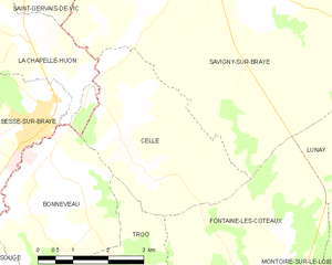
Cellé
- commune in Loir-et-Cher, France
- Country:
- Postal Code: 41360
- Coordinates: 47° 50' 1" N, 0° 46' 58" E
- GPS tracks (wikiloc): [Link]
- Area: 12.67 sq km
- Population: 234

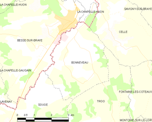
Bonneveau
- commune in Loir-et-Cher, France
- Country:
- Postal Code: 41800
- Coordinates: 47° 48' 45" N, 0° 44' 59" E
- GPS tracks (wikiloc): [Link]
- Area: 10.95 sq km
- Population: 479


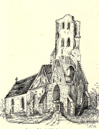
Saint-Jacques-des-Guérets
- commune in Loir-et-Cher, France
- Country:
- Postal Code: 41800
- Coordinates: 47° 46' 28" N, 0° 47' 36" E
- GPS tracks (wikiloc): [Link]
- Area: 1.81 sq km
- Population: 89


Sougé
- commune in Loir-et-Cher, France
- Country:
- Postal Code: 41800
- Coordinates: 47° 46' 13" N, 0° 43' 40" E
- GPS tracks (wikiloc): [Link]
- AboveSeaLevel: 62 м m
- Area: 16.88 sq km
- Population: 472
- Web site: [Link]
Fontaine-les-Coteaux
- commune in Loir-et-Cher, France
- Country:
- Postal Code: 41800
- Coordinates: 47° 47' 57" N, 0° 49' 43" E
- GPS tracks (wikiloc): [Link]
- Area: 22.11 sq km
- Population: 349
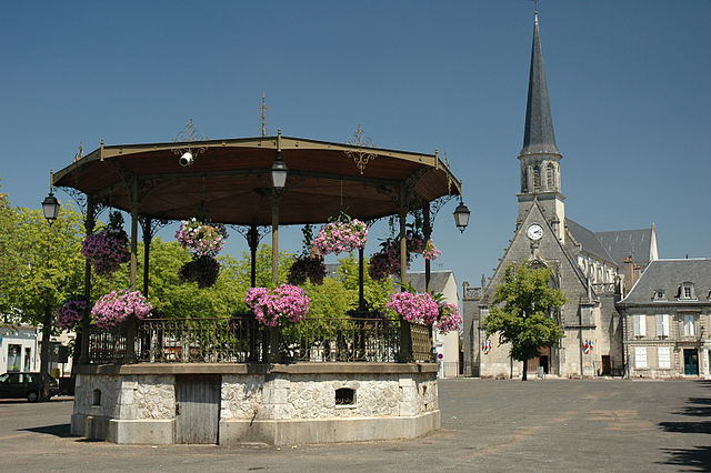

Montoire-sur-le-Loir
- commune in Loir-et-Cher, France
- Country:
- Postal Code: 41800
- Coordinates: 47° 45' 15" N, 0° 51' 49" E
- GPS tracks (wikiloc): [Link]
- Area: 21.02 sq km
- Population: 3822
- Web site: [Link]
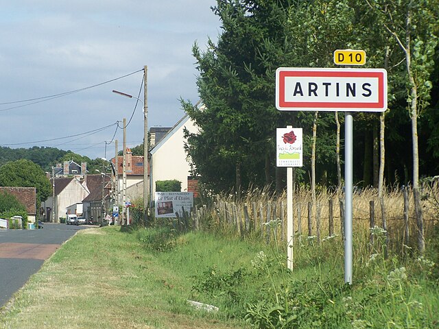

Artins
- commune in Loir-et-Cher, France
- Country:
- Postal Code: 41800
- Coordinates: 47° 44' 42" N, 0° 44' 23" E
- GPS tracks (wikiloc): [Link]
- Area: 11.72 sq km
- Population: 265