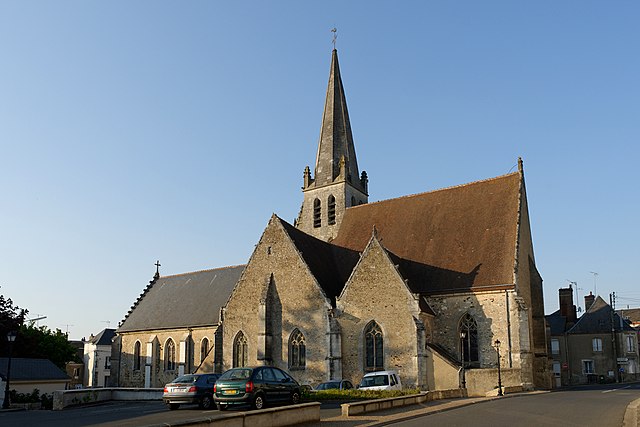
arrondissement of Vendôme (arrondissement de Vendôme)
- arrondissement of France
- Country:

- Capital: Vendôme
- Coordinates: 47° 50' 0" N, 1° 0' 0" E


- GPS tracks (wikiloc): [Link]
- Area: 1719 sq km
- Population: 70032
- Wikipedia en: wiki(en)
- Wikipedia: wiki(fr)
- Wikidata storage: Wikidata: Q702713
- Freebase ID: [/m/095592]
- GeoNames ID: Alt: [2970109]
- INSEE arrondissement code: [412]
- GNS Unique Feature ID: -1475381
Includes regions:

canton of Saint-Amand-Longpré
- canton of France (until March 2015)
- Country:

- Capital: Saint-Amand-Longpré
- Coordinates: 47° 41' 14" N, 0° 59' 57" E


- GPS tracks (wikiloc): [Link]

canton of Savigny-sur-Braye
- canton of France (until March 2015)
- Country:

- Capital: Savigny-sur-Braye
- Coordinates: 47° 49' 53" N, 0° 49' 55" E


- GPS tracks (wikiloc): [Link]


canton of Montoire-sur-le-Loir
- canton of France
- Country:

- Capital: Montoire-sur-le-Loir
- Coordinates: 47° 44' 36" N, 0° 47' 57" E


- GPS tracks (wikiloc): [Link]
- Population: 22265


Vendôme
- commune in Loir-et-Cher, France
- Country:

- Postal Code: 41100
- Coordinates: 47° 47' 34" N, 1° 3' 56" E


- GPS tracks (wikiloc): [Link]
- AboveSeaLevel: 82 м m
- Area: 23.89 sq km
- Population: 16716
- Web site: [Link]

canton of Mondoubleau
- canton of France (until March 2015)
- Country:

- Capital: Mondoubleau
- Coordinates: 48° 0' 17" N, 0° 54' 27" E


- GPS tracks (wikiloc): [Link]


