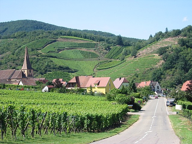
Turckheim (Turckheim)

- commune in Haut-Rhin, France
- Country:

- Postal Code: 68230
- Coordinates: 48° 5' 11" N, 7° 16' 50" E


- GPS tracks (wikiloc): [Link]
- Area: 16.46 sq km
- Population: 3759
- Web site: http://www.turckheim.fr/
- Wikipedia en: wiki(en)
- Wikipedia: wiki(fr)
- Wikidata storage: Wikidata: Q157729
- Wikipedia Commons Category: [Link]
- Freebase ID: [/m/07pljd]
- Freebase ID: [/m/07pljd]
- GeoNames ID: Alt: [2971469]
- GeoNames ID: Alt: [2971469]
- SIREN number: [216803387]
- SIREN number: [216803387]
- BnF ID: [15272040c]
- BnF ID: [15272040c]
- VIAF ID: Alt: [136069699]
- VIAF ID: Alt: [136069699]
- Library of Congress authority ID: Alt: [n82153935]
- Library of Congress authority ID: Alt: [n82153935]
- WOEID: [629527]
- WOEID: [629527]
- INSEE municipality code: 68338
- INSEE municipality code: 68338
Shares border with regions:


Labaroche
- commune in Haut-Rhin, France
- Country:
- Postal Code: 68910
- Coordinates: 48° 6' 36" N, 7° 11' 35" E
- GPS tracks (wikiloc): [Link]
- Area: 13.44 sq km
- Population: 2219
- Web site: [Link]


Walbach
- commune in Haut-Rhin, France
- Country:
- Postal Code: 68230
- Coordinates: 48° 3' 44" N, 7° 13' 23" E
- GPS tracks (wikiloc): [Link]
- Area: 5.45 sq km
- Population: 893
- Web site: [Link]

Niedermorschwihr
- commune in Haut-Rhin, France
- Country:
- Postal Code: 68230
- Coordinates: 48° 5' 58" N, 7° 16' 27" E
- GPS tracks (wikiloc): [Link]
- Area: 3.35 sq km
- Population: 534


Zimmerbach
- commune in Haut-Rhin, France
- Country:
- Postal Code: 68230
- Coordinates: 48° 4' 22" N, 7° 14' 13" E
- GPS tracks (wikiloc): [Link]
- Area: 2.26 sq km
- Population: 852


Ammerschwihr
- commune in Haut-Rhin, France
- Country:
- Postal Code: 68770
- Coordinates: 48° 7' 32" N, 7° 16' 55" E
- GPS tracks (wikiloc): [Link]
- Area: 19.66 sq km
- Population: 1791
- Web site: [Link]


Wintzenheim
- commune in Haut-Rhin, France
- Country:
- Postal Code: 68920
- Coordinates: 48° 4' 23" N, 7° 17' 24" E
- GPS tracks (wikiloc): [Link]
- Area: 18.97 sq km
- Population: 7535
- Web site: [Link]


Ingersheim
- commune in Haut-Rhin, France
- Country:
- Postal Code: 68040
- Coordinates: 48° 5' 41" N, 7° 18' 23" E
- GPS tracks (wikiloc): [Link]
- AboveSeaLevel: 196.326 м m
- Area: 7.44 sq km
- Population: 4641
- Web site: [Link]


Katzenthal
- commune in Haut-Rhin, France
- Country:
- Postal Code: 68230
- Coordinates: 48° 6' 28" N, 7° 16' 56" E
- GPS tracks (wikiloc): [Link]
- AboveSeaLevel: 280 м m
- Area: 3.5 sq km
- Population: 533