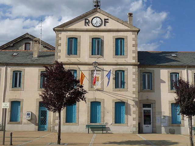
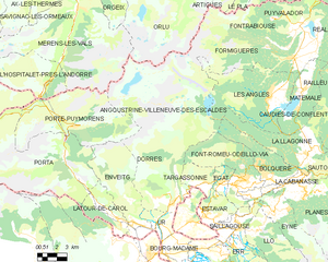
Ur (Ur)
- commune in Pyrénées-Orientales, France
- Country:

- Postal Code: 66760
- Coordinates: 42° 27' 43" N, 1° 56' 15" E


- GPS tracks (wikiloc): [Link]
- Area: 6.79 sq km
- Population: 358
- Web site: http://www.ville-ur.fr
- Wikipedia en: wiki(en)
- Wikipedia: wiki(fr)
- Wikidata storage: Wikidata: Q632044
- Wikipedia Commons Category: [Link]
- Freebase ID: [/m/03h3s4h]
- Freebase ID: [/m/03h3s4h]
- GeoNames ID: Alt: [6615248]
- GeoNames ID: Alt: [6615248]
- SIREN number: [216602185]
- SIREN number: [216602185]
- BnF ID: [152711276]
- BnF ID: [152711276]
- VIAF ID: Alt: [154508949]
- VIAF ID: Alt: [154508949]
- OSM relation ID: [74284]
- OSM relation ID: [74284]
- PACTOLS thesaurus ID: [pcrtWthtKr3AZL]
- PACTOLS thesaurus ID: [pcrtWthtKr3AZL]
- INSEE municipality code: 66218
- INSEE municipality code: 66218
Shares border with regions:


Dorres
- commune in Pyrénées-Orientales, France
- Country:

- Postal Code: 66760
- Coordinates: 42° 29' 5" N, 1° 56' 20" E


- GPS tracks (wikiloc): [Link]
- Area: 24.77 sq km
- Population: 164
- Web site: [Link]


Bourg-Madame
- commune in Pyrénées-Orientales, France
- Country:

- Postal Code: 66760
- Coordinates: 42° 26' 3" N, 1° 56' 38" E


- GPS tracks (wikiloc): [Link]
- Area: 7.85 sq km
- Population: 1214
- Web site: [Link]


Angoustrine-Villeneuve-des-Escaldes
- commune in Pyrénées-Orientales, France
- Country:

- Postal Code: 66760
- Coordinates: 42° 28' 40" N, 1° 57' 10" E


- GPS tracks (wikiloc): [Link]
- AboveSeaLevel: 1380 м m
- Area: 87.87 sq km
- Population: 709
- Web site: [Link]


Enveitg
- commune in Pyrénées-Orientales, France
- Country:

- Postal Code: 66760
- Coordinates: 42° 27' 36" N, 1° 54' 53" E


- GPS tracks (wikiloc): [Link]
- Area: 30.52 sq km
- Population: 661
