Vanne (Vanne)

- commune in Haute-Saône, France
- Country:

- Postal Code: 70130
- Coordinates: 47° 36' 18" N, 5° 50' 20" E


- GPS tracks (wikiloc): [Link]
- Area: 9.72 sq km
- Population: 96
- Web site: http://www.vanne-70.fr
- Wikipedia en: wiki(en)
- Wikipedia: wiki(fr)
- Wikidata storage: Wikidata: Q902011
- Wikipedia Commons Category: [Link]
- Freebase ID: [/m/03nvz_n]
- GeoNames ID: Alt: [6424481]
- SIREN number: [217005206]
- BnF ID: [15272912m]
- VIAF ID: Alt: [239236213]
- INSEE municipality code: 70520
Shares border with regions:
Theuley
- commune in Haute-Saône, France
- Country:
- Postal Code: 70120
- Coordinates: 47° 37' 22" N, 5° 48' 4" E
- GPS tracks (wikiloc): [Link]
- Area: 7.5 sq km
- Population: 106


Grandecourt
- commune in Haute-Saône, France
- Country:
- Postal Code: 70120
- Coordinates: 47° 38' 2" N, 5° 51' 27" E
- GPS tracks (wikiloc): [Link]
- Area: 3.39 sq km
- Population: 41
Fédry
- commune in Haute-Saône, France
- Country:
- Postal Code: 70120
- Coordinates: 47° 36' 59" N, 5° 52' 41" E
- GPS tracks (wikiloc): [Link]
- Area: 8.76 sq km
- Population: 96
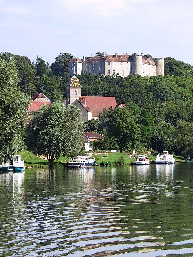

Ray-sur-Saône
- commune in Haute-Saône, France
- Country:
- Postal Code: 70130
- Coordinates: 47° 35' 10" N, 5° 49' 38" E
- GPS tracks (wikiloc): [Link]
- Area: 7.88 sq km
- Population: 207


Soing-Cubry-Charentenay
- commune in Haute-Saône, France
- Country:
- Postal Code: 70130
- Coordinates: 47° 34' 56" N, 5° 52' 43" E
- GPS tracks (wikiloc): [Link]
- AboveSeaLevel: 250 м m
- Area: 28.63 sq km
- Population: 544