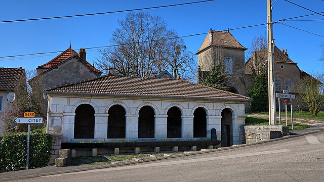
Vantoux-et-Longevelle (Vantoux-et-Longevelle)
- commune in Haute-Saône, France
- Country:

- Postal Code: 70700
- Coordinates: 47° 26' 3" N, 5° 50' 47" E


- GPS tracks (wikiloc): [Link]
- Area: 9.67 sq km
- Population: 171
- Wikipedia en: wiki(en)
- Wikipedia: wiki(fr)
- Wikidata storage: Wikidata: Q959171
- Wikipedia Commons Category: [Link]
- Freebase ID: [/m/03nvz__]
- GeoNames ID: Alt: [6442136]
- SIREN number: [217005214]
- BnF ID: [15272913z]
- INSEE municipality code: 70521
Shares border with regions:


Villers-Chemin-et-Mont-lès-Étrelles
- commune in Haute-Saône, France
- Country:

- Postal Code: 70700
- Coordinates: 47° 26' 33" N, 5° 52' 12" E


- GPS tracks (wikiloc): [Link]
- AboveSeaLevel: 259 м m
- Area: 7.32 sq km
- Population: 121


La Chapelle-Saint-Quillain
- commune in Haute-Saône, France
- Country:

- Postal Code: 70700
- Coordinates: 47° 28' 33" N, 5° 48' 53" E


- GPS tracks (wikiloc): [Link]
- Area: 10.42 sq km
- Population: 145

Velleclaire
- commune in Haute-Saône, France
- Country:

- Postal Code: 70700
- Coordinates: 47° 25' 51" N, 5° 51' 40" E


- GPS tracks (wikiloc): [Link]
- Area: 4.13 sq km
- Population: 108


Étrelles-et-la-Montbleuse
- commune in Haute-Saône, France
- Country:

- Postal Code: 70700
- Coordinates: 47° 27' 36" N, 5° 51' 43" E


- GPS tracks (wikiloc): [Link]
- AboveSeaLevel: 252 м m
- Area: 6.26 sq km
- Population: 81


Bucey-lès-Gy
- commune in Haute-Saône, France
- Country:

- Postal Code: 70700
- Coordinates: 47° 25' 23" N, 5° 50' 35" E


- GPS tracks (wikiloc): [Link]
- Area: 21.3 sq km
- Population: 610


Vellefrey-et-Vellefrange
- commune in Haute-Saône, France
- Country:

- Postal Code: 70700
- Coordinates: 47° 25' 48" N, 5° 49' 48" E


- GPS tracks (wikiloc): [Link]
- AboveSeaLevel: 200 м m
- Area: 7.13 sq km
- Population: 119
