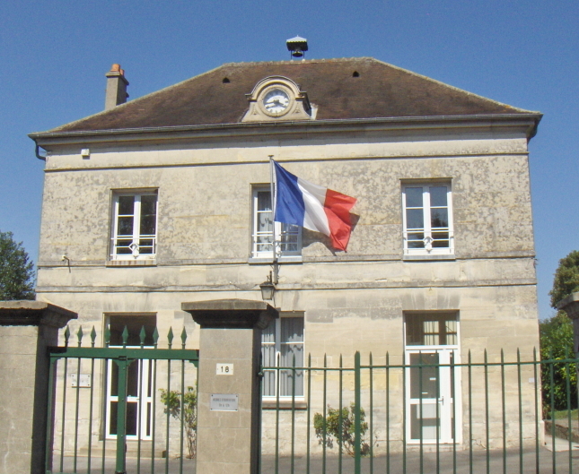
Ver-sur-Launette (Ver-sur-Launette)

- commune in Oise, France
- Country:

- Postal Code: 60950
- Coordinates: 49° 6' 18" N, 2° 41' 7" E


- GPS tracks (wikiloc): [Link]
- Area: 13.18 sq km
- Population: 1179
- Wikipedia en: wiki(en)
- Wikipedia: wiki(fr)
- Wikidata storage: Wikidata: Q751799
- Wikipedia Commons Category: [Link]
- Freebase ID: [/m/03qg79h]
- GeoNames ID: Alt: [2969658]
- SIREN number: [216006577]
- BnF ID: [152678997]
- TGN ID: [1036052]
- INSEE municipality code: 60666
Shares border with regions:

Mortefontaine
- commune in Oise, France
- Country:
- Postal Code: 60128
- Coordinates: 49° 6' 45" N, 2° 35' 58" E
- GPS tracks (wikiloc): [Link]
- Area: 15.29 sq km
- Population: 837


Othis
- commune in Seine-et-Marne, France
- Country:
- Postal Code: 77280
- Coordinates: 49° 4' 35" N, 2° 40' 35" E
- GPS tracks (wikiloc): [Link]
- Area: 13.04 sq km
- Population: 6622
- Web site: [Link]


Ève
- commune in Oise, France
- Country:
- Postal Code: 60330
- Coordinates: 49° 5' 22" N, 2° 42' 15" E
- GPS tracks (wikiloc): [Link]
- Area: 10.43 sq km
- Population: 424


Ermenonville
- commune in Oise, France
- Country:
- Postal Code: 60950
- Coordinates: 49° 7' 34" N, 2° 41' 45" E
- GPS tracks (wikiloc): [Link]
- AboveSeaLevel: 92 м m
- Area: 16.49 sq km
- Population: 1014
- Web site: [Link]

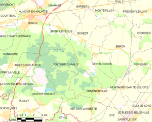
Fontaine-Chaalis
- commune in Oise, France
- Country:
- Postal Code: 60300
- Coordinates: 49° 10' 17" N, 2° 41' 1" E
- GPS tracks (wikiloc): [Link]
- Area: 33.11 sq km
- Population: 357