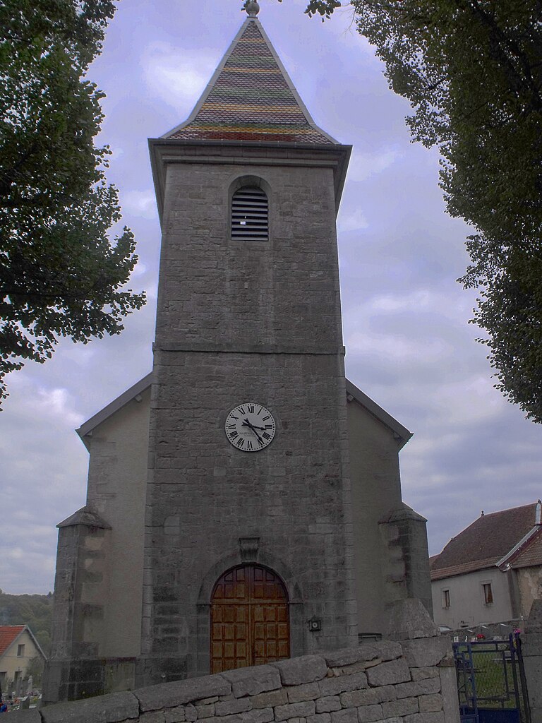
Vergranne (Vergranne)
- commune in Doubs, France
Vergranne does not appear to be a well-known hiking destination, and it is possible that you may be referring to a specific location that is less widely recognized or that the name may be a misspelling. However, if you are interested in hiking in a particular region or natural area with a similar name or if you have a specific destination in mind, please provide more details.
Generally, when planning a hike, consider the following tips:
- Research Trails: Look for established trails in the area, including their difficulty level and distance.
- Weather Conditions: Check the weather forecast for the day of your hike to dress appropriately and prepare for any changes.
- Prepare Gear: Proper footwear, hydration, snacks, and a first aid kit are essential for any hike.
- Know Your Limits: Choose trails that match your fitness level and experience.
- Leave No Trace: Be mindful of the environment; pack out what you pack in and respect wildlife.
If you meant a different location or have more specific questions, feel free to provide more information!
- Country:

- Postal Code: 25110
- Coordinates: 47° 24' 32" N, 6° 23' 27" E


- GPS tracks (wikiloc): [Link]
- Area: 5.18 sq km
- Population: 107
- Wikipedia en: wiki(en)
- Wikipedia: wiki(fr)
- Wikidata storage: Wikidata: Q905803
- Wikipedia Commons Category: [Link]
- Freebase ID: [/m/03mhf27]
- GeoNames ID: Alt: [6430042]
- SIREN number: [212506026]
- BnF ID: [152528289]
- PACTOLS thesaurus ID: [pcrtKmzF86U7DS]
- INSEE municipality code: 25602
Shares border with regions:


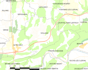
Voillans
- commune in Doubs, France
Voillans is a picturesque village located in the Franche-Comté region of eastern France, known for its beautiful landscapes and serene natural surroundings. Hiking in and around Voillans offers a great opportunity to explore the scenic beauty of the area, including rolling hills, forests, and small rivers....
- Country:

- Postal Code: 25110
- Coordinates: 47° 23' 12" N, 6° 24' 47" E


- GPS tracks (wikiloc): [Link]
- Area: 10.12 sq km
- Population: 207


Autechaux
- commune in Doubs, France
Autechaux, located in the Doubs department of France, offers a variety of scenic hiking opportunities. The region is characterized by its rolling hills, dense forests, and picturesque views, making it an excellent destination for nature enthusiasts....
- Country:

- Postal Code: 25110
- Coordinates: 47° 22' 40" N, 6° 23' 7" E


- GPS tracks (wikiloc): [Link]
- AboveSeaLevel: 437 м m
- Area: 6.59 sq km
- Population: 418
- Web site: [Link]


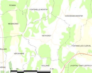
Viéthorey
- commune in Doubs, France
Viéthorey is a picturesque village located in the Vosges region of France. This area is characterized by its stunning natural landscapes, making it a wonderful destination for hiking enthusiasts. Here are some key points to consider when planning a hiking trip in Viéthorey:...
- Country:

- Postal Code: 25340
- Coordinates: 47° 25' 32" N, 6° 25' 46" E


- GPS tracks (wikiloc): [Link]
- Area: 7.92 sq km
- Population: 95


Mésandans
- commune in Doubs, France
Mésandans, while not widely known as a primary hiking destination, offers beautiful landscapes and a serene environment for outdoor enthusiasts. Since the area is less commercialized than many popular hiking spots, it can provide a more tranquil hiking experience. Here are some general tips and highlights about hiking in such regions:...
- Country:

- Postal Code: 25680
- Coordinates: 47° 25' 51" N, 6° 22' 8" E


- GPS tracks (wikiloc): [Link]
- Area: 5.66 sq km
- Population: 220


Verne
- commune in Doubs, France
Verne, located in the Doubs department of the Bourgogne-Franche-Comté region in eastern France, offers a variety of hiking opportunities for outdoor enthusiasts. The area is characterized by its beautiful natural landscapes, with rolling hills, lush forests, and picturesque valleys....
- Country:

- Postal Code: 25110
- Coordinates: 47° 23' 53" N, 6° 21' 14" E


- GPS tracks (wikiloc): [Link]
- Area: 7.82 sq km
- Population: 130
- Web site: [Link]


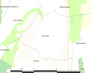
Rillans
- commune in Doubs, France
Rillans is not a widely recognized hiking destination, but if you are referring to a specific area, such as a town or region with hiking trails, please clarify its location. If Rillans is a small locality or a lesser-known area, I'd recommend looking up local hiking maps or resources to get detailed trail information....
- Country:

- Postal Code: 25110
- Coordinates: 47° 24' 47" N, 6° 21' 51" E


- GPS tracks (wikiloc): [Link]
- Area: 3.42 sq km
- Population: 94

