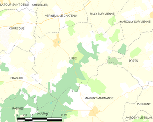
Verneuil-le-Château (Verneuil-le-Château)

- commune in Indre-et-Loire, France
- Country:

- Postal Code: 37120
- Coordinates: 47° 2' 19" N, 0° 27' 27" E


- GPS tracks (wikiloc): [Link]
- Area: 8.44 sq km
- Population: 129
- Wikipedia en: wiki(en)
- Wikipedia: wiki(fr)
- Wikidata storage: Wikidata: Q508328
- Wikipedia Commons Category: [Link]
- Freebase ID: [/m/03nvdhy]
- GeoNames ID: Alt: [6433149]
- SIREN number: [213702681]
- BnF ID: [15257816h]
- INSEE municipality code: 37268
Shares border with regions:


Courcoué
- commune in Indre-et-Loire, France
- Country:
- Postal Code: 37120
- Coordinates: 47° 2' 2" N, 0° 23' 45" E
- GPS tracks (wikiloc): [Link]
- Area: 15.66 sq km
- Population: 266


Chezelles
- commune in Indre-et-Loire, France
- Country:
- Postal Code: 37220
- Coordinates: 47° 3' 30" N, 0° 26' 31" E
- GPS tracks (wikiloc): [Link]
- Area: 15.17 sq km
- Population: 133

Luzé
- commune in Indre-et-Loire, France
- Country:
- Postal Code: 37120
- Coordinates: 47° 1' 24" N, 0° 27' 9" E
- GPS tracks (wikiloc): [Link]
- Area: 20.3 sq km
- Population: 261


Rilly-sur-Vienne
- commune in Indre-et-Loire, France
- Country:
- Postal Code: 37220
- Coordinates: 47° 3' 23" N, 0° 29' 31" E
- GPS tracks (wikiloc): [Link]
- Area: 13.1 sq km
- Population: 486