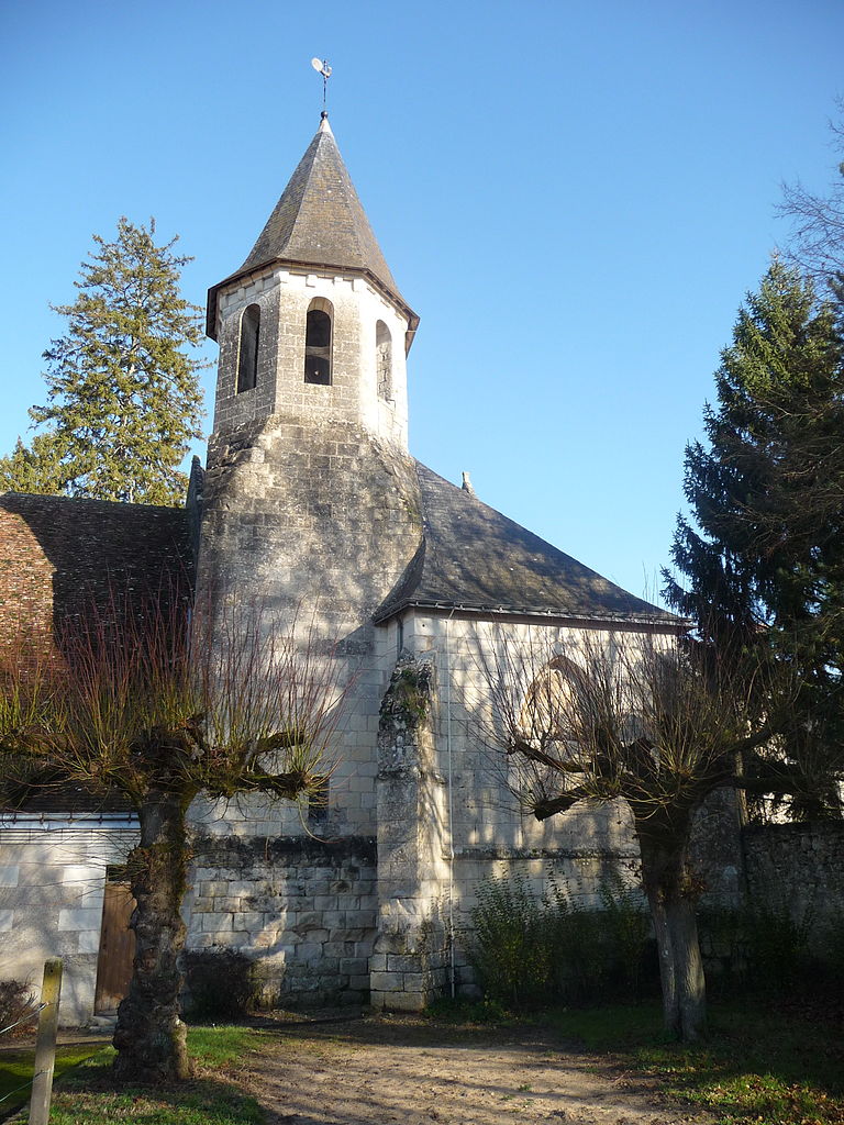
Verneuil-sur-Indre (Verneuil-sur-Indre)

- commune in Indre-et-Loire, France
- Country:

- Postal Code: 37600
- Coordinates: 47° 3' 22" N, 1° 2' 31" E


- GPS tracks (wikiloc): [Link]
- Area: 39.63 sq km
- Population: 492
- Wikipedia en: wiki(en)
- Wikipedia: wiki(fr)
- Wikidata storage: Wikidata: Q1170626
- Wikipedia Commons Category: [Link]
- Freebase ID: [/m/03nvdhl]
- GeoNames ID: Alt: [6433150]
- SIREN number: [213702699]
- BnF ID: [15257817v]
- INSEE municipality code: 37269
Shares border with regions:
Fléré-la-Rivière
- commune in Indre, France
- Country:
- Postal Code: 36700
- Coordinates: 47° 1' 11" N, 1° 6' 30" E
- GPS tracks (wikiloc): [Link]
- Area: 25.31 sq km
- Population: 558


Saint-Senoch
- commune in Indre-et-Loire, France
- Country:
- Postal Code: 37600
- Coordinates: 47° 2' 49" N, 0° 58' 9" E
- GPS tracks (wikiloc): [Link]
- Area: 24.08 sq km
- Population: 548


Saint-Flovier
- commune in Indre-et-Loire, France
- Country:
- Postal Code: 37600
- Coordinates: 46° 58' 5" N, 1° 1' 39" E
- GPS tracks (wikiloc): [Link]
- Area: 29.22 sq km
- Population: 577


Perrusson
- commune in Indre-et-Loire, France
- Country:
- Postal Code: 37600
- Coordinates: 47° 6' 0" N, 1° 0' 47" E
- GPS tracks (wikiloc): [Link]
- Area: 28.94 sq km
- Population: 1521
- Web site: [Link]


Saint-Hippolyte
- commune in Indre-et-Loire, France
- Country:
- Postal Code: 37600
- Coordinates: 47° 3' 36" N, 1° 6' 0" E
- GPS tracks (wikiloc): [Link]
- Area: 32.99 sq km
- Population: 635

Saint-Jean-Saint-Germain
- commune in Indre-et-Loire, France
- Country:
- Postal Code: 37600
- Coordinates: 47° 4' 58" N, 1° 2' 6" E
- GPS tracks (wikiloc): [Link]
- Area: 21.34 sq km
- Population: 751


Betz-le-Château
- commune in Indre-et-Loire, France
- Country:
- Postal Code: 37600
- Coordinates: 46° 59' 31" N, 0° 55' 13" E
- GPS tracks (wikiloc): [Link]
- Area: 46.88 sq km
- Population: 575
- Web site: [Link]

Bridoré
- commune in Indre-et-Loire, France
- Country:
- Postal Code: 37600
- Coordinates: 47° 1' 37" N, 1° 4' 57" E
- GPS tracks (wikiloc): [Link]
- Area: 14.54 sq km
- Population: 531