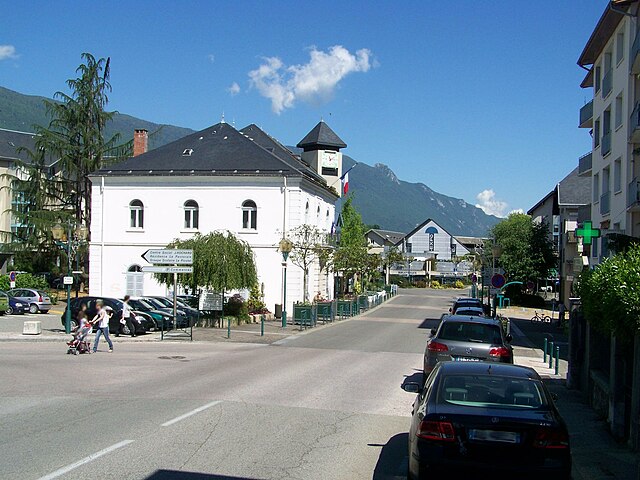
Verthemex (Verthemex)

- commune in Savoie, France
 Hiking in Verthemex
Verthemex is not a widely recognized hiking destination, so it appears there might be a typo or misunderstanding regarding the location you mentioned. If you meant a specific area in a national park or a region known for hiking, please provide more context or clarify the name.
However, I can offer general advice about hiking in mountainous or rural areas, which might apply to your interest in Verthemex or similar locations:
-
Trail Research: Always check local hiking maps or websites for trail information, including difficulty levels, lengths, and notable landmarks.
-
Safety Precautions: Be prepared for changes in weather, and carry the ten essentials: navigation tools, a first-aid kit, water, snacks, adequate clothing, fire-starting supplies, tools for emergency repairs, and a flashlight.
-
Leave No Trace: Practice responsible hiking by following the Leave No Trace principles to protect the environment. This includes packing out all trash and staying on marked trails.
-
Wildlife Awareness: If in a region with wildlife, like bears or snakes, know how to respond if you encounter them. Proper precautions for food storage are also necessary.
-
Hydration and Nutrition: Always carry enough water and snacks to maintain your energy, especially on longer hikes.
If you're looking for more specific information or tips about a particular hiking area, please let me know!
- Country:

- Postal Code: 73170
- Coordinates: 45° 37' 46" N, 5° 47' 22" E


- GPS tracks (wikiloc): [Link]
- Area: 9.28 sq km
- Population: 200
- Wikipedia en: wiki(en)
- Wikipedia: wiki(fr)
- Wikidata storage: Wikidata: Q524831
- Wikipedia Commons Category: [Link]
- Freebase ID: [/m/03qlnb4]
- GeoNames ID: Alt: [6442923]
- SIREN number: [217303130]
- BnF ID: [15274243f]
- INSEE municipality code: 73313
Shares border with regions:


Marcieux
- commune in Savoie, France
Hiking in Marcieux
Marcieux is a charming village located in the Savoie region of France, nestled near the beautiful lakes and mountains of the Rhône-Alpes. While it may not be as well-known as some larger hiking destinations, it offers various trails that cater to different skill levels and provide stunning views of the surrounding landscapes....
- Country:
- Postal Code: 73470
- Coordinates: 45° 36' 47" N, 5° 45' 45" E
- GPS tracks (wikiloc): [Link]
- Area: 4.4 sq km
- Population: 163


Le Bourget-du-Lac
- commune in Savoie, France
Hiking in Le Bourget-du-Lac
Le Bourget-du-Lac is a picturesque commune located in the Savoie department of the Auvergne-Rhône-Alpes region in southeastern France. It is situated on the shores of Lake Bourget, which is the largest natural lake in France. The area is known for its stunning natural landscapes, making it a great destination for hiking enthusiasts. Here are some highlights for hiking in and around Le Bourget-du-Lac:...
- Country:
- Postal Code: 73370
- Coordinates: 45° 38' 54" N, 5° 51' 35" E
- GPS tracks (wikiloc): [Link]
- Area: 20.05 sq km
- Population: 4570
- Web site: [Link]


Meyrieux-Trouet
- commune in Savoie, France
Hiking in Meyrieux-Trouet
Meyrieux-Trouet, located in the Savoie region of the French Alps, is a charming village that offers fantastic hiking opportunities amid stunning natural scenery. The area is characterized by its picturesque landscapes, including lush forests, mountain views, and beautiful valleys....
- Country:
- Postal Code: 73170
- Coordinates: 45° 38' 36" N, 5° 46' 51" E
- GPS tracks (wikiloc): [Link]
- Area: 11.05 sq km
- Population: 315

La Motte-Servolex
- commune in Savoie, France
Hiking in La Motte-Servolex
La Motte-Servolex is a charming commune located in the Savoie department in the Auvergne-Rhône-Alpes region of southeastern France. Nestled near the foothills of the Chartreuse Mountains and close to the city of Chambéry, it offers a variety of hiking opportunities for all skill levels....
- Country:
- Postal Code: 73290
- Coordinates: 45° 35' 48" N, 5° 52' 39" E
- GPS tracks (wikiloc): [Link]
- Area: 29.85 sq km
- Population: 11731
- Web site: [Link]