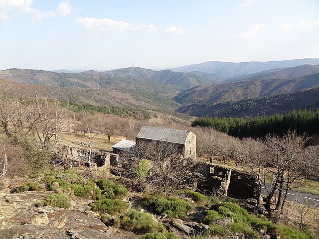
Vialas (Vialas)

- commune in Lozère, France
- Country:

- Postal Code: 48220
- Coordinates: 44° 20' 1" N, 3° 53' 45" E


- GPS tracks (wikiloc): [Link]
- Area: 49.77 sq km
- Population: 439
- Wikipedia en: wiki(en)
- Wikipedia: wiki(fr)
- Wikidata storage: Wikidata: Q626286
- Wikipedia Commons Category: [Link]
- Freebase ID: [/m/02z0wl8]
- Freebase ID: [/m/02z0wl8]
- GeoNames ID: Alt: [6435185]
- GeoNames ID: Alt: [6435185]
- SIREN number: [214801946]
- SIREN number: [214801946]
- BnF ID: [152615978]
- BnF ID: [152615978]
- VIAF ID: Alt: [248727300]
- VIAF ID: Alt: [248727300]
- INSEE municipality code: 48194
- INSEE municipality code: 48194
Shares border with regions:


Génolhac
- commune in Gard, France
- Country:
- Postal Code: 30450
- Coordinates: 44° 20' 59" N, 3° 56' 58" E
- GPS tracks (wikiloc): [Link]
- Area: 17.3 sq km
- Population: 849
- Web site: [Link]


Chamborigaud
- commune in Gard, France
- Country:
- Postal Code: 30530
- Coordinates: 44° 18' 5" N, 3° 58' 40" E
- GPS tracks (wikiloc): [Link]
- Area: 17.86 sq km
- Population: 829
- Web site: [Link]


Concoules
- commune in Gard, France
- Country:
- Postal Code: 30450
- Coordinates: 44° 22' 58" N, 3° 56' 18" E
- GPS tracks (wikiloc): [Link]
- Area: 16.47 sq km
- Population: 259
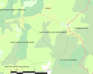
Saint-Andéol-de-Clerguemort
- former commune in Lozère, France
- Country:
- Postal Code: 48160
- Coordinates: 44° 17' 31" N, 3° 54' 26" E
- GPS tracks (wikiloc): [Link]
- Area: 6.86 sq km
- Population: 83