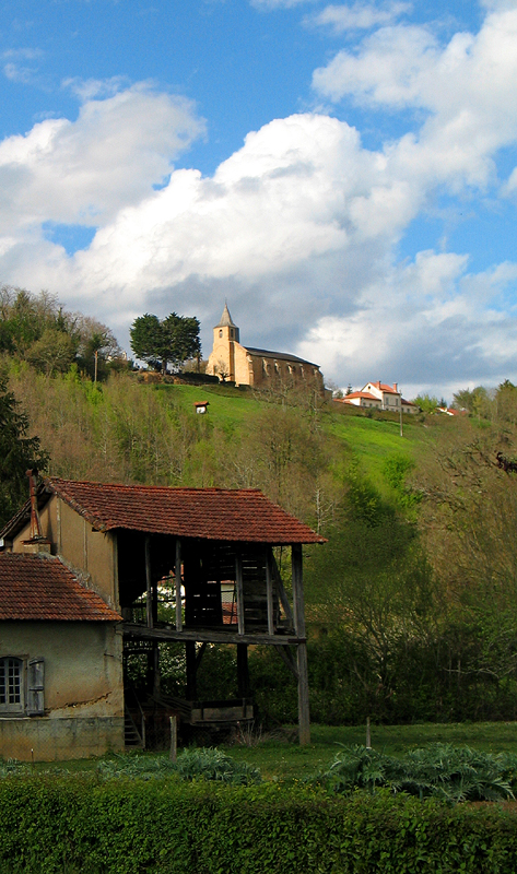
Villecomtal-sur-Arros (Villecomtal-sur-Arros)

- commune in Gers, France
- Country:

- Postal Code: 32730
- Coordinates: 43° 24' 6" N, 0° 11' 58" E


- GPS tracks (wikiloc): [Link]
- AboveSeaLevel: 176 м m
- Area: 11.17 sq km
- Population: 838
- Web site: http://www.villecomtal-arros.fr
- Wikipedia en: wiki(en)
- Wikipedia: wiki(fr)
- Wikidata storage: Wikidata: Q787049
- Wikipedia Commons Category: [Link]
- Freebase ID: [/m/03nrvwd]
- GeoNames ID: Alt: [6616533]
- SIREN number: [213204647]
- BnF ID: [152560507]
- INSEE municipality code: 32464
Shares border with regions:


Rabastens-de-Bigorre
- commune in Hautes-Pyrénées, France
- Country:
- Postal Code: 65140
- Coordinates: 43° 23' 13" N, 0° 9' 2" E
- GPS tracks (wikiloc): [Link]
- Area: 8.93 sq km
- Population: 1467
- Web site: [Link]

Montégut-Arros
- commune in Gers, France
- Country:
- Postal Code: 32730
- Coordinates: 43° 22' 36" N, 0° 12' 43" E
- GPS tracks (wikiloc): [Link]
- Area: 15.29 sq km
- Population: 297

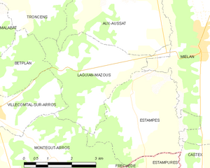
Laguian-Mazous
- commune in Gers, France
- Country:
- Postal Code: 32170
- Coordinates: 43° 25' 12" N, 0° 15' 29" E
- GPS tracks (wikiloc): [Link]
- AboveSeaLevel: 320 м m
- Area: 9.98 sq km
- Population: 246
Haget
- commune in Gers, France
- Country:
- Postal Code: 32730
- Coordinates: 43° 25' 10" N, 0° 9' 43" E
- GPS tracks (wikiloc): [Link]
- Area: 9.1 sq km
- Population: 335


Betplan
- commune in Gers, France
- Country:
- Postal Code: 32730
- Coordinates: 43° 24' 48" N, 0° 11' 57" E
- GPS tracks (wikiloc): [Link]
- Area: 5.46 sq km
- Population: 103
- Web site: [Link]