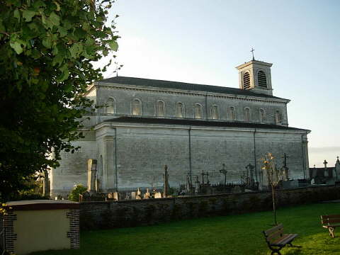
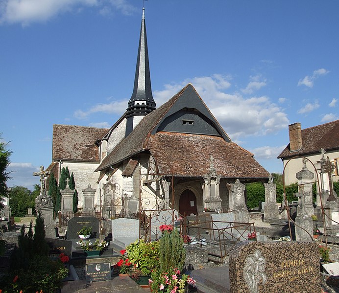
Villy-le-Bois (Villy-le-Bois)

- commune in Aube, France
- Country:

- Postal Code: 10800
- Coordinates: 48° 9' 40" N, 4° 5' 35" E


- GPS tracks (wikiloc): [Link]
- Area: 5.41 sq km
- Population: 58
- Wikipedia en: wiki(en)
- Wikipedia: wiki(fr)
- Wikidata storage: Wikidata: Q1105385
- Wikipedia Commons Category: [Link]
- Freebase ID: [/m/03m8wrx]
- GeoNames ID: Alt: [6426628]
- SIREN number: [211004197]
- BnF ID: [15246526j]
- INSEE municipality code: 10434
Shares border with regions:


Assenay
- commune in Aube, France
- Country:
- Postal Code: 10320
- Coordinates: 48° 10' 57" N, 4° 3' 33" E
- GPS tracks (wikiloc): [Link]
- Area: 3.42 sq km
- Population: 150
Longeville-sur-Mogne
- commune in Aube, France
- Country:
- Postal Code: 10320
- Coordinates: 48° 8' 56" N, 4° 3' 39" E
- GPS tracks (wikiloc): [Link]
- AboveSeaLevel: 130 м m
- Area: 4.15 sq km
- Population: 149
Maupas
- commune in Aube, France
- Country:
- Postal Code: 10320
- Coordinates: 48° 8' 7" N, 4° 4' 29" E
- GPS tracks (wikiloc): [Link]
- Area: 4.26 sq km
- Population: 110


Villemereuil
- commune in Aube, France
- Country:
- Postal Code: 10800
- Coordinates: 48° 11' 58" N, 4° 5' 14" E
- GPS tracks (wikiloc): [Link]
- Area: 7.81 sq km
- Population: 241

Saint-Jean-de-Bonneval
- commune in Aube, France
- Country:
- Postal Code: 10320
- Coordinates: 48° 10' 20" N, 4° 2' 55" E
- GPS tracks (wikiloc): [Link]
- Area: 6.14 sq km
- Population: 378


Les Bordes-Aumont
- commune in Aube, France
- Country:
- Postal Code: 10800
- Coordinates: 48° 11' 8" N, 4° 7' 19" E
- GPS tracks (wikiloc): [Link]
- Area: 5.49 sq km
- Population: 544


La Vendue-Mignot
- commune in Aube, France
- Country:
- Postal Code: 10800
- Coordinates: 48° 9' 24" N, 4° 6' 30" E
- GPS tracks (wikiloc): [Link]
- Area: 10.48 sq km
- Population: 247

Villy-le-Maréchal
- commune in Aube, France
- Country:
- Postal Code: 10800
- Coordinates: 48° 11' 15" N, 4° 4' 31" E
- GPS tracks (wikiloc): [Link]
- Area: 3.29 sq km
- Population: 180